Iceland is an island in the North Atlantic between Greenland and Norway, just south of the Arctic Circle, and almost every trip follows one road, the Ring Road, out from Reykjavík. This Iceland map guide shows where everything is, region by region, with maps of the main routes, hot springs, waterfalls, glaciers and the best places for the Northern Lights, and the tours that cover each one.

The short answer: Iceland on the map
Iceland is an island in the North Atlantic, just south of the Arctic Circle, between Greenland and Norway. It covers about 103,000 km², a little smaller than England or the US state of Kentucky, and almost everyone travels around it on one main road, Route 1, the Ring Road. Most sights sit within a few hours' drive of Reykjavík, along the south and west coasts.
This guide walks you round the country region by region, the way we plan trips for our own guests, and then looks at the maps travellers ask us about most: the Ring Road, the Golden Circle, the South Coast, hot springs, waterfalls, glaciers and where to see the Northern Lights. Every place below is also on the interactive map at the bottom of this page. In short:
- Where it is: about 286 km from Greenland, 420 km from the Faroe Islands and 795 km from Scotland.
- Capital: Reykjavík, in the south-west, where most flights arrive (via Keflavík Airport) and most day tours start.
- Main road: the Ring Road, about 1,300 km round the island, paved all the way.
- Closest sights to Reykjavík: the Golden Circle, the Reykjanes peninsula and the western half of the South Coast.
- Further out: Jökulsárlón and Vatnajökull in the south-east, Snæfellsnes in the west, Mývatn and Dettifoss in the north, Stuðlagil in the east and the remote Westfjords.
- The interior: the highlands, such as Landmannalaugar, are reached only on F-roads, usually in summer.
Where is Iceland on the world map?
On a world map, look at the top of the Atlantic Ocean, between North America and Europe. Iceland lies at around 64 to 66 degrees north. The main island is entirely south of the Arctic Circle, which crosses the small island of Grímsey off the north coast. Its nearest neighbour is Greenland, about 286 km to the west, and the Faroe Islands are about 420 km to the south-east. Mainland Norway is roughly 950 km away.
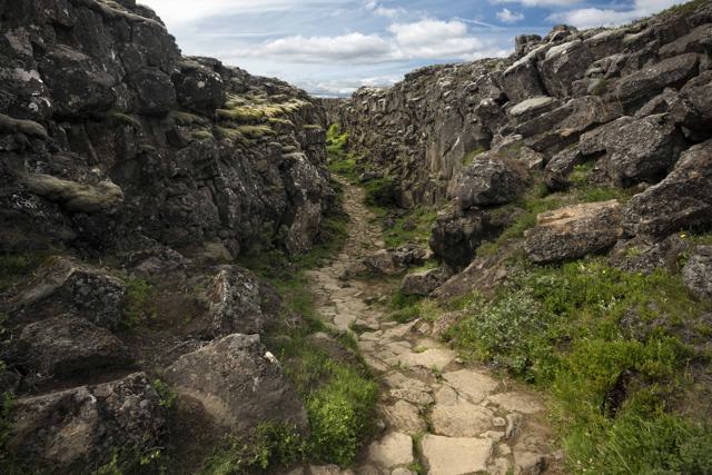
Iceland sits on the Mid-Atlantic Ridge, where the North American and Eurasian plates are pulling apart. That is why it has so many volcanoes, hot springs and geysers, and why you can walk between the plates at Þingvellir or on the Bridge Between Continents on Reykjanes. Politically and culturally, Iceland is a European country, and it is a short flight from both sides: about three hours from London and about five hours from New York.
How big is Iceland, and how long does it take to cross?
Iceland covers about 103,000 km², with roughly 4,970 km of coastline. Glaciers cover about a tenth of the land, and the interior is mostly uninhabited highland, so towns and roads follow the coast. Around 395,000 people live here, and well over half of them live in and around Reykjavík.
Distances look small on the map, but the drive takes longer than people expect, because roads are mostly two lanes, the speed limit on the open road is 90 km/h, and you will want to stop every half hour. As a guide, Vík is about 180 km from Reykjavík and Jökulsárlón about 370 km. Driving the whole Ring Road non-stop would take most of two days, so we suggest at least seven days to go round in summer, more in winter. Our guide on how many days you need in Iceland goes into this in more detail.
The regions of Iceland
Officially Iceland has eight regions. Travellers usually think in slightly different areas, based on what there is to see, and that is how we group our tours. Here is how the two fit together, going round the island from Reykjavík:
- Capital Region (Höfuðborgarsvæðið): Reykjavík and the towns around it.
- Southern Peninsula (Suðurnes): the Reykjanes peninsula, Keflavík Airport, the Blue Lagoon and the recent eruption sites.
- South Iceland (Suðurland): the Golden Circle, the South Coast, Vík and the glaciers of the south-east as far as Jökulsárlón. Most of our day tours go here.
- East Iceland (Austurland): the East Fjords, Egilsstaðir, Seyðisfjörður and Stuðlagil canyon.
- North-east Iceland (Norðurland eystra): Akureyri, Lake Mývatn, Dettifoss, Húsavík and Goðafoss.
- North-west Iceland (Norðurland vestra): quieter farmland and peninsulas such as Vatnsnes, with the sea stack Hvítserkur.
- Westfjords (Vestfirðir): the wild north-west corner, with Ísafjörður and Dynjandi.
- West Iceland (Vesturland): Borgarfjörður and the Snæfellsnes peninsula.
- The highlands: not an official region but the empty interior, open to visitors mainly in summer.
Reykjavík and the capital area
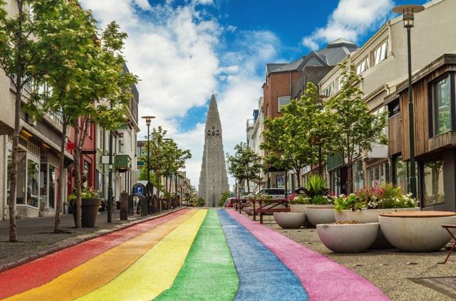
Almost every trip starts in Reykjavík. The centre is small and easy to walk: Hallgrímskirkja on the hill, the Sun Voyager and Harpa on the waterfront, and Perlan a short ride away. Keflavík Airport is on the Reykjanes peninsula, about 50 km south-west of the city.
Because the city is the hub, it is the easiest base for a short trip. From here you can reach the Golden Circle, Reykjanes, Snæfellsnes and the South Coast as far as Vík on day tours. Sky Lagoon is about 15 minutes from the centre, which makes it an easy first or last evening. See all Reykjavík tours.
Map of the Ring Road (Route 1)
The Ring Road is the backbone of every Iceland map. It runs for about 1,300 km round the island and passes Selfoss, Vík, Höfn, Egilsstaðir, Akureyri and Borgarnes, linking most of the places in this guide. It is paved all the way, but outside the south-west it is mostly a two-lane road with single-lane bridges in places. Two big areas are not on it: the Westfjords and the Snæfellsnes peninsula, which both need a detour.
In summer, a week is the minimum to drive round comfortably, and ten days is better. In winter, mountain passes in the north and east can close for hours in storms, so leave spare time and check our weekly road conditions update and our guide to driving in Iceland in winter.
If you would rather not drive, our small-group 8 Day Iceland Summer Tour goes all the way round from May to September, with Snæfellsnes added, hotels with breakfast, a Katla ice cave visit, a glacier hike and whale watching. From October to April, the 6 Day Iceland Ring Road Tour in Winter covers the Golden Circle, South Coast, a natural ice cave, Jökulsárlón, the East Fjords, Mývatn and Akureyri in six days. See all Ring Road tours.
Map of the Golden Circle
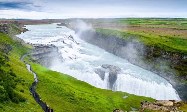
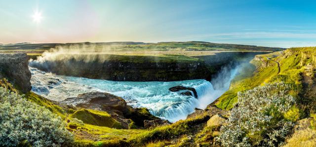
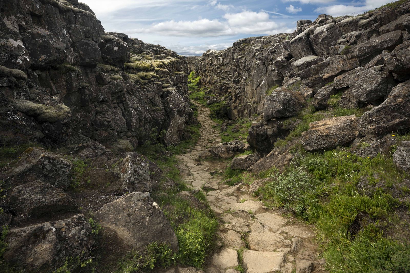
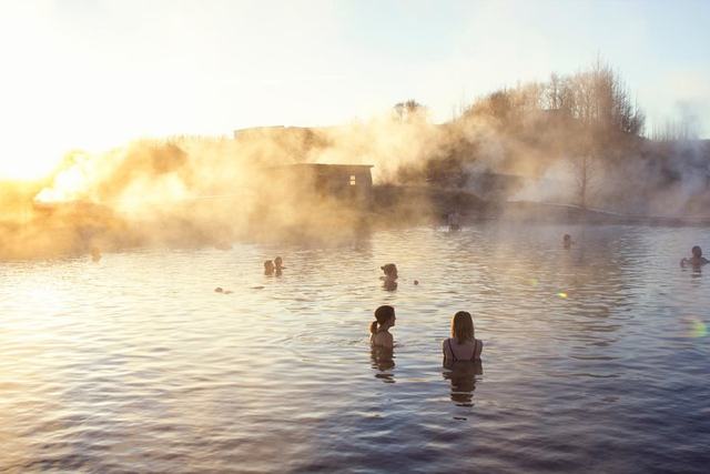
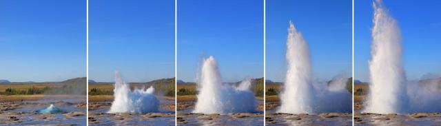
The Golden Circle is a loop of roughly 230 to 300 km east of Reykjavík, depending on the stops. The three classic sights are Þingvellir National Park, where you walk through the rift between two tectonic plates, the Geysir geothermal area, where Strokkur erupts every few minutes, and Gullfoss, a two-step waterfall in a deep canyon. Good extra stops are Kerið crater, Friðheimar and the Secret Lagoon at Flúðir.
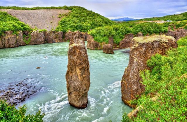
You can drive it in a day, all year. Our Golden Circle Private Tour picks you up at your Reykjavík accommodation and takes eight to nine hours at your pace, adding Kerið, Brúarhlöð canyon, Friðheimar and Þórufoss to the three main sights. If you want a soak at the end of the day, the Golden Circle and Secret Lagoon tour includes the lagoon. Compare all Golden Circle tours, and for quieter stops read our secret locations of the Golden Circle.
Map of the South Coast
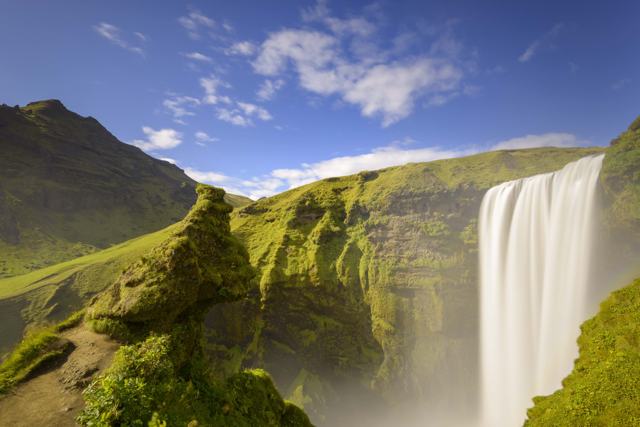
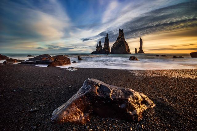
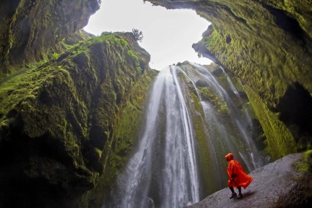
The South Coast follows the Ring Road east from Reykjavík. The first stretch, as far as Vík, is the most visited part of Iceland: Seljalandsfoss, which you can walk behind in summer, Gljúfrabúi in its narrow gorge, Skógafoss, the Sólheimajökull glacier tongue, the arch at Dyrhólaey and the black sand of Reynisfjara just before Vík.
Vík is about 180 km from Reykjavík, so this part works as a long day trip. Our Private South Coast Tour takes about nine hours, runs all year and visits Seljalandsfoss, Gljúfrabúi, Skógafoss, Kvernufoss, Vík and Reynisfjara. There are also plenty of South Coast tours in small groups.
At Reynisfjara, never turn your back on the sea. Sneaker waves here can run far up the beach without warning and have swept people away.
Map of Vatnajökull and the south-east
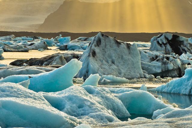
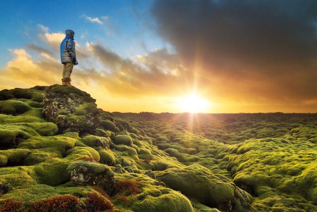
East of Vík, the road crosses the lava fields of Eldhraun and passes Fjaðrárgljúfur canyon and Kirkjubæjarklaustur before reaching Vatnajökull National Park. Here are Skaftafell with Svartifoss, the quiet lagoon at Fjallsárlón, the icebergs of Jökulsárlón and the ice on the Diamond Beach. The town of Höfn is about an hour further east.
Jökulsárlón is about 370 km from Reykjavík, so it is far better with a night or two in the area. Our 2 Day South Coast Tour with Ice Cave, Jökulsárlón and Diamond Beach covers the whole coast with one night near Skaftafell. From about October to April, natural blue ice caves form inside the glacier, and the Vatnajökull Ice Cave Tour starts at the Jökulsárlón car park. See our glacier lagoon tours and the guide to the glacier lagoons in Iceland.
Map of the Reykjanes peninsula
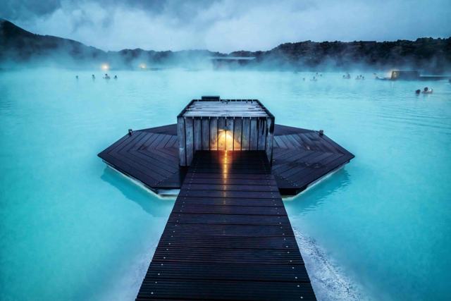
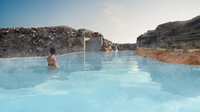
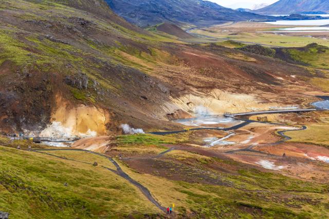
Reykjanes is the peninsula south-west of Reykjavík, where you land at Keflavík Airport. It has lava fields, sea cliffs, the Blue Lagoon, the boiling mud of Gunnuhver, the sea pool at Brimketill, the Krýsuvík geothermal area and Kleifarvatn. It is also where the recent eruptions have been, near Grindavík and Fagradalsfjall.
Conditions on Reykjanes change, so we keep the latest on eruptions, road closures and the Blue Lagoon in our weekly volcano eruption update, and the background in volcanoes in Iceland. Our Reykjanes Peninsula Private Tour takes about five hours with pick-up in Reykjavík or at the airport, so it fits well on an arrival or departure day. See all Reykjanes tours.
Map of Snæfellsnes and West Iceland
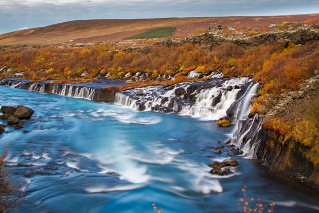
North of Reykjavík, the Ring Road passes through the Hvalfjörður tunnel to Borgarnes. Inland in Borgarfjörður are Hraunfossar, where water runs out from under a lava field, the hot spring Deildartunguhver and Langjökull, the second-largest glacier.
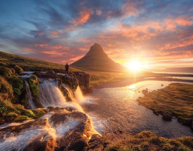
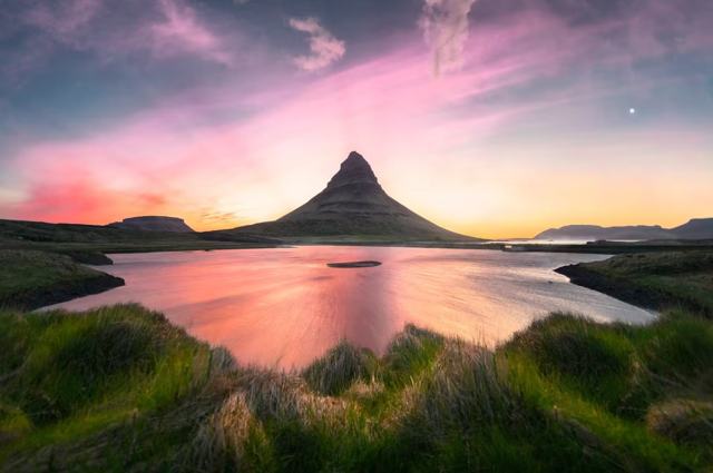
To the west, the Snæfellsnes peninsula is often called Iceland in miniature: Kirkjufell, the seals at Ytri Tunga, the cliffs at Arnarstapi, the black pebbles of Djúpalónssandur and the glacier volcano Snæfellsjökull at the tip. It is about two hours from Reykjavík and is not on the Ring Road. Our Snæfellsnes Private Tour covers it in a day from Reykjavík, all year. See all Snæfellsnes tours and West Iceland tours.
Map of the Westfjords
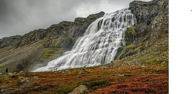
The Westfjords are the claw-shaped peninsula in the north-west, joined to the rest of Iceland by a narrow neck of land. Roads wind in and out of long fjords, so distances are slow, and some mountain roads close in winter. The main town is Ísafjörður. Highlights include Dynjandi, the bird cliffs at Látrabjarg, the red-gold beach at Rauðisandur and, for walkers, Hornstrandir.
Most visitors come in summer, either by car on a longer trip or by plane or ship to Ísafjörður. The Dynjandi Waterfall Super Jeep Tour starts in Ísafjörður and gives you about an hour at the falls. See all Westfjords tours.
Map of North Iceland
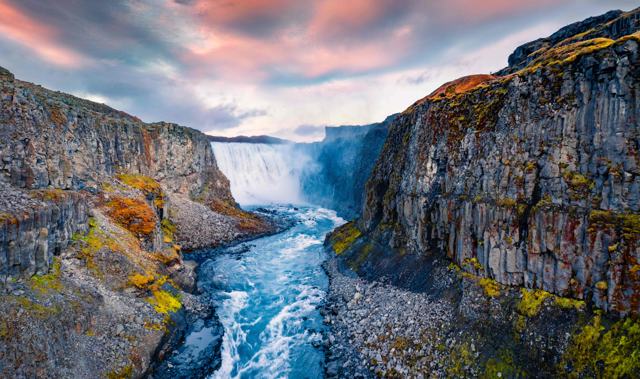
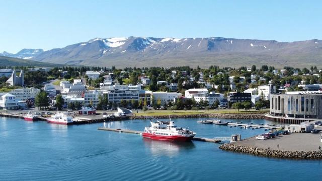
Akureyri, the largest town outside the capital area, is the base for the north. East of it lie Goðafoss, Lake Mývatn with the lava formations of Dimmuborgir and the steaming ground at Námaskarð, and further on Dettifoss and the horseshoe canyon of Ásbyrgi. Húsavík on the coast is the best-known whale watching town in Iceland. To the west are Hvítserkur and the turf houses at Glaumbær.
The loop of Goðafoss, Mývatn, Dettifoss, Ásbyrgi and Húsavík is called the Diamond Circle. Our Diamond Circle and GeoSea tour from Akureyri runs from June to October and ends at the GeoSea sea baths, and the Lake Mývatn and Goðafoss tour from Akureyri covers the lake area. See all North Iceland tours.
Map of East Iceland
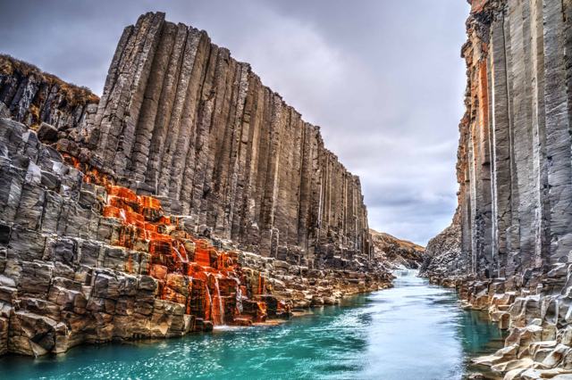
The East Fjords are the quietest part of the Ring Road, with fishing villages such as Djúpivogur and Seyðisfjörður, the town of Egilsstaðir, Hengifoss with its red-striped cliffs, and the basalt-lined Stuðlagil canyon inland.
The ferry from Denmark arrives at Seyðisfjörður, and cruise ships call there in summer. The Stuðlagil Canyon tour from Seyðisfjörður runs from May to September. Our guide to Stuðlagil east side vs west side explains the two viewpoints, and there are more East Iceland tours.

Map of the highlands
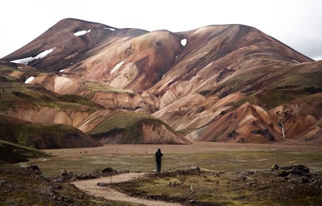
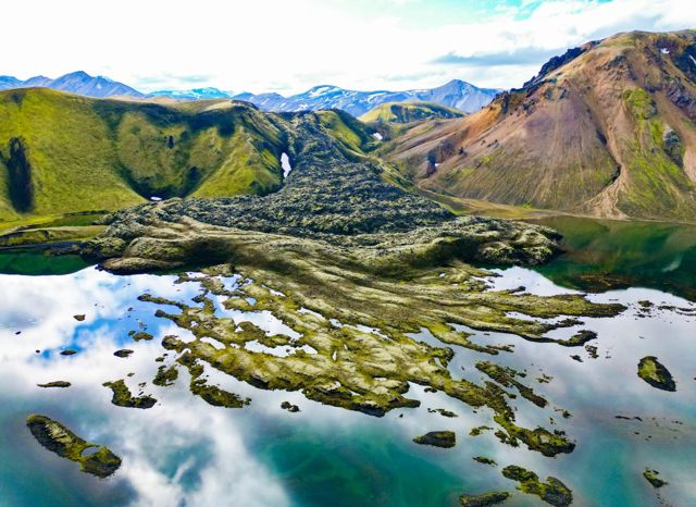
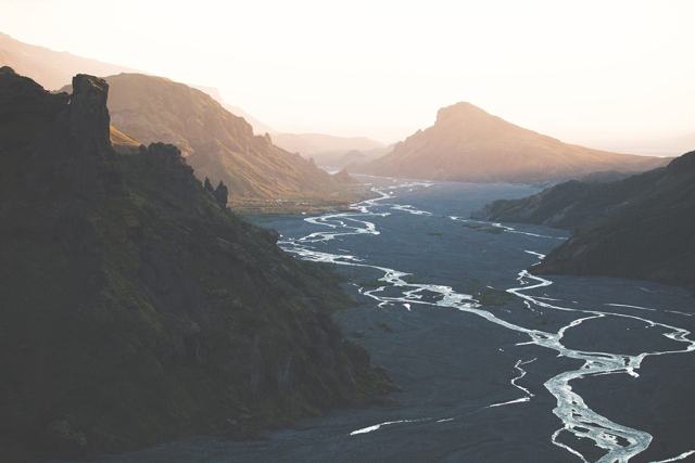
The middle of the map is the highlands: lava deserts, glaciers and mountains with no towns at all. Landmannalaugar, with its coloured rhyolite mountains, Þórsmörk, Kerlingarfjöll and Askja are the best-known areas.
Highland roads are marked with an F on maps. They are usually open only in summer, from around late June or July into September depending on snow, and they need a 4×4. Many have unbridged rivers, and rental insurance does not cover river damage. That is why most visitors go with a guide. Our Landmannalaugar Private Tour runs by super jeep from Reykjavík from June to the end of October, and the Þórsmörk Super Jeep Tour runs all year. See all highland tours.
Hot spring map of Iceland
Geothermal water is everywhere in Iceland, and our hot spring map shows 69 hot springs, lagoons and geothermal areas across the country, with prices and entry details, and tickets for the bookable lagoons. The main types are:
Most natural pools have no lifeguard and little or no changing area, so leave them as you found them and shower before entering any pool or lagoon. Read our guides to hidden hot springs and Sky Lagoon vs the Blue Lagoon, and see all hot spring tours.
- Lagoons near Reykjavík: Sky Lagoon in Kópavogur and the Blue Lagoon on Reykjanes, open all year.
- On the Golden Circle: the Secret Lagoon at Flúðir and Laugarás Lagoon.
- In the west: Krauma, beside Deildartunguhver.
- In the north: the GeoSea sea baths at Húsavík.
- Natural springs: the warm river at Reykjadalur above Hveragerði, the stream at Landmannalaugar and small pools such as Hrunalaug and Seljavallalaug.
Waterfall map of Iceland
Iceland has thousands of waterfalls, but a handful are on almost every itinerary. Going round from Reykjavík:
Gullfoss, Seljalandsfoss and Skógafoss are all on day tours from Reykjavík, and the rest fit a self-drive or Ring Road trip.
- Gullfoss on the Golden Circle.
- Seljalandsfoss and Skógafoss on the South Coast, with Kvernufoss close by.
- Svartifoss in Skaftafell, framed by basalt columns.
- Hengifoss in East Iceland.
- Dettifoss, one of the most powerful waterfalls in Europe, and Goðafoss in the north.
- Dynjandi in the Westfjords.
- Hraunfossar in Borgarfjörður and Glymur in Hvalfjörður, one of the highest in Iceland.
- Háifoss on the edge of the highlands.
Glacier map of Iceland
Glaciers cover about a tenth of Iceland. Vatnajökull in the south-east is the largest, at around 7,700 km², and Langjökull in the west is second. Mýrdalsjökull, above Vík, covers the volcano Katla, and next to it is Eyjafjallajökull. In the west, Snæfellsjökull crowns Snæfellsnes.
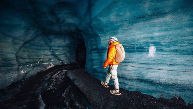
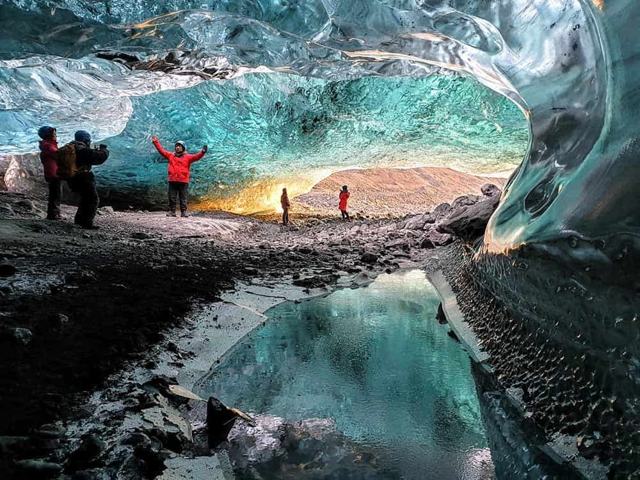
You can walk on the outlet glaciers that reach the lowlands, such as Sólheimajökull and Svínafellsjökull, but only with a certified guide, because crevasses are hard to see. Ice caves are found in Vatnajökull in winter and under Katla all year, and Langjökull has a man-made ice tunnel. See all glacier tours and our guide to ice cave tours in Iceland.
Northern Lights map: where to see the aurora
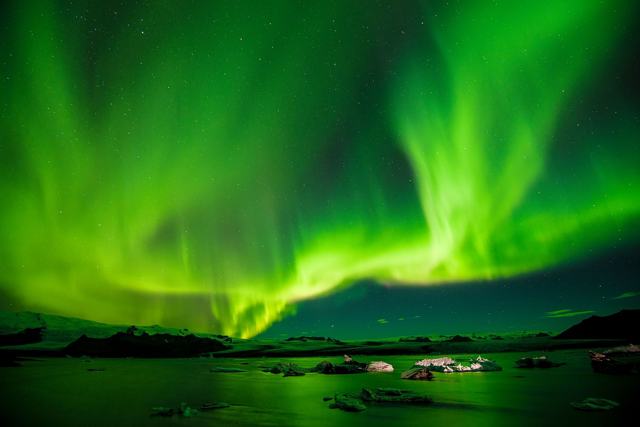
There is no single best spot on the map for the Northern Lights. From September to April you can see them anywhere in Iceland on a dark night with a clear sky and some solar activity. What matters most is getting away from town lights and finding a gap in the clouds, which is often in a different part of the country each night.
Near Reykjavík, popular dark places include Grótta lighthouse at the edge of the city, Þingvellir and the shores of Kleifarvatn. On a longer trip, the South Coast, the north around Mývatn and the East Fjords all have very dark skies.
Check the cloud cover each evening, or let a guide do it for you. Our Northern Lights Private Tour runs from September to April, picks you up in Reykjavík and lasts four to five hours, with your own guide driving to wherever the sky is clearest. No sighting is ever guaranteed. Read our weekly Northern Lights forecast, the Northern Lights in Iceland guide and see all Northern Lights tours.
How long do you need, and when to go?
Use the map to match your trip length to the area you can cover:
Summer, from June to August, gives the long days and open highland roads. From October to April, days are short and some roads close in storms, but it is the season for ice caves and the Northern Lights. Our month-by-month guide to the best time to visit Iceland has more detail.
- 2–3 days: Reykjavík, the Golden Circle and the South Coast to Vík, or Reykjanes on the way to or from the airport.
- 4–5 days: add Jökulsárlón with a night or two in the south-east, or Snæfellsnes.
- 6–8 days: the full Ring Road, with Snæfellsnes if you have eight days.
- 10 days or more: the Ring Road with the Westfjords or the highlands.
Self-drive or guided tour?
If you like planning, a self-drive trip lets you stop wherever you want. Our 5-Day South Coast and Glacier Lagoon Self-Drive covers the Golden Circle, the South Coast, Skaftafell, Jökulsárlón and the Diamond Beach, with the car, four nights in hotels with breakfast and a day-by-day route. A 4×4 is included from October to April. See all self-drive packages.
If you would rather leave the driving and the weather to someone else, a guided trip is easier, especially in winter. Our 6-Day Iceland Private Tour Package combines private day tours from a Reykjavík base, and private tours are priced per vehicle, so they are good value for families and small groups. For the whole country, see the Ring Road tours above, all Iceland tour packages and our multi-day trips.
Plan your route on the map
Every place in this guide is on the interactive map below, in order round the island from Reykjavík. You can also plan your route on Icelandmap, which shows sights, tours, hotels, fuel stations and toilets on one map.
If you would like help turning your map into a trip, send us your dates and the places you want to see. As a local travel agency in Iceland, we can build a self-drive or private trip around them, with hotels and tours included.
Tours to book
These are the tours that cover the most of the map for the time you have:
- Golden Circle Private Tour: Þingvellir, Geysir, Gullfoss and extra stops in eight to nine hours, all year.
- 2 Day South Coast Tour with Ice Cave and Jökulsárlón: the whole South Coast to the Diamond Beach in two days.
- 8 Day Iceland Summer Tour: the full Ring Road plus Snæfellsnes, May to September.
- 5-Day South Coast Self-Drive: your own car and hotels from Reykjavík to Jökulsárlón.
The places on the map
Tap a pin for the place guide. Plan this route on Icelandmap
Questions people ask
Where is Iceland on the map?
Iceland is in the North Atlantic Ocean, between Greenland and Norway, just south of the Arctic Circle. It is about 286 km from Greenland, 420 km from the Faroe Islands and 795 km from Scotland.
Is Iceland part of Europe?
Yes. Iceland is a European country, although it sits on the Mid-Atlantic Ridge between the North American and Eurasian plates. It is about three hours by air from London and about five from New York.
Is Iceland in the Arctic Circle?
The main island is just south of it. The Arctic Circle crosses the small island of Grímsey, off the north coast.
How big is Iceland?
About 103,000 km², a little smaller than England. The Ring Road round the island is about 1,300 km long.
How long does it take to drive around Iceland?
The Ring Road alone would take around two days of non-stop driving, but with sightseeing you need at least seven days in summer and more in winter.
What are the main regions of Iceland for travellers?
Reykjavík and Reykjanes, the Golden Circle, the South Coast, Vatnajökull and the south-east, the East Fjords, North Iceland, the Westfjords, Snæfellsnes and West Iceland, and the highlands.
Which part of Iceland is best for a short trip?
The south-west. From Reykjavík you can reach the Golden Circle, the South Coast as far as Vík, Reykjanes and Snæfellsnes on day trips.