SVARTIFOSS IN SHORTSvartifoss (“Black Fall”) is a 20-metre waterfall in Skaftafell, Vatnajökull National Park, framed by dark hexagonal basalt columns. You reach it on foot from the Skaftafell visitor centre, on a trail of about 1.5 km each way that takes around 1.5–2 hours there and back. Parking at Skaftafell costs ISK 1,110 per car per day, and the trail is open all year.
About Svartifoss
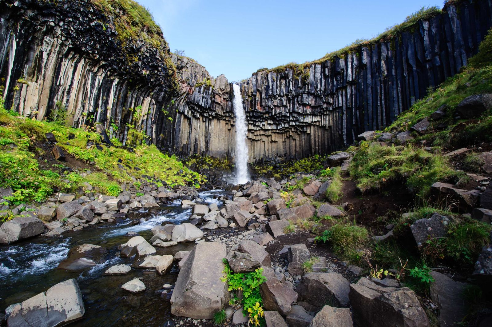
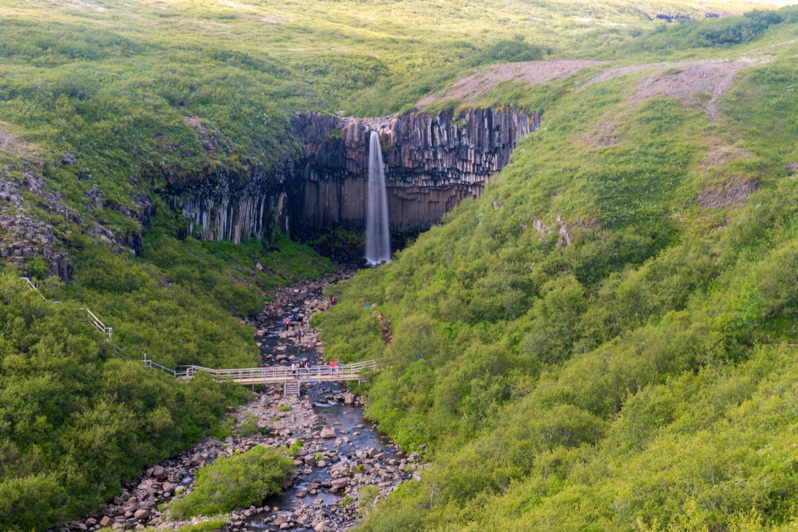
Svartifoss drops about 20 metres over a curved wall of dark basalt columns. The columns formed about 300,000 years ago, when lava cooled and contracted along an old riverbed. The water is thin, so the columns are the star, and they show the pattern of hexagons you see in basalt across Iceland. From a distance the curve of the cliff gives the fall a heart shape, which may be why Icelanders think of it as a romantic spot.
The columns have inspired Icelandic design. The architect Guðjón Samúelsson drew on basalt columns like these for Hallgrímskirkja in Reykjavík, the National Theatre and the church in Akureyri.
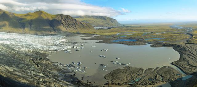
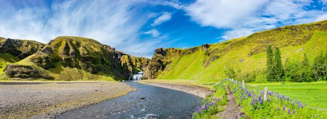
The walk is much of the fun. The path climbs through birch scrub and heath, passes smaller waterfalls, and gives you views towards the glacier and out across the sandur. In summer the falls are busy, so go early or late for a quiet visit.
You cannot see Svartifoss from the road or from the visitor centre, so the only way to see it is to walk up. The stream that feeds it, Stórilækur, rises below the Kristínartindar peaks at the edge of the Vatnajökull ice cap and runs down through the gorge to join the Skaftafellsá river.
Quick facts
HeightAbout 20 m, in a single drop
RockHexagonal basalt columns, about 300,000 years old
StreamStórilækur
ParkSkaftafell, Vatnajökull National Park
RegionSoutheast Iceland, off the Ring Road (Route 1)
From ReykjavíkAbout 330 km to Skaftafell, around 4–5 hours by car
TrailAbout 1.5 km each way from the visitor centre; marked circular route of 5.8 km
Time neededAbout 1.5–2 hours there and back; 2 hours for the circular route
EntryFree
ParkingISK 1,110 per car, valid until midnight on the day of payment
Opening hoursTrail open all year; visitor centre has set opening hours
ProtectedPart of Vatnajökull National Park
Basalt as a building plan
The columns at Svartifoss have made the waterfall one of the best-known in Iceland. Horizontal lines on the columns, spaced 5–20 cm apart, record how the lava cooled and shrank.
Icelandic architects have long borrowed the look of basalt. Hallgrímskirkja church in Reykjavík is the best-known example.
How to get to Svartifoss
By carSkaftafell is easy to find and reachable all year. Follow Route 1 (the Ring Road) to the signed Skaftafell turn-off, about 330 km east of Reykjavík, and drive the short access road to the visitor centre. The trail starts at the car park, and signboards there show all the hiking routes.
On a guided tourSkaftafell is a stop on some south coast and Jökulsárlón tours. A private tour lets you set the pace, and some include time to hike to Svartifoss.
By public transportBuses along the south coast serve Skaftafell, mostly in summer. Check the timetable, and allow enough time to walk.
ParkingSkaftafell uses a zone fee of ISK 1,110 per car, valid until midnight on the day. Pay at the machines in the car park or online through Parka. A discount may apply if you have already paid at another national park site the same day.
In winter the path can be icy and a light snowfall can hide the trail. Check the weather and the visitor centre for conditions.
Trail options at Skaftafell
There are several routes, so pick the one that fits your time and energy.
Direct routeA well-marked path climbs to the waterfall through heath and birch. About 1.5 km each way, and around 2 hours for the round trip with time to look around. It is a moderate walk, steady uphill but not difficult.
Step by step from the visitor centreFrom the visitor centre the path runs past the campsite and, after about 250 m, starts to climb gently onto the heath. You pass smaller waterfalls in the gorge on the way up. Near the top the path drops into the ravine below Svartifoss, where a footbridge crosses the stream. On the far side, steps lead up beside the basalt columns.
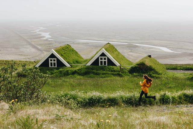
Coming back on the western sideYou can return the way you came, or cross the bridge below Svartifoss and walk back on the western side. This way gives you a closer look at the three other waterfalls in the gorge, Þjófafoss, Hundafoss and Magnúsarfoss, and passes Sel, an old turf farmhouse, and the sheltered green hollow of Lambhagi, the “lamb pasture”.
Circular route (S2)A 5.8 km circular walk of around 2 hours, rated easy. It takes in Hundafoss and Magnúsarfoss before Svartifoss, and the viewpoint at Sjónarsker.
With Sjónarnípa (S6)A 7.1 km route of around 2.5–3 hours, rated challenging. It adds Sjónarnípa, a viewpoint over the glacier tongue and surrounding peaks.
The routes are well signed, so you do not need a map for the walk to Svartifoss. Other trails at Skaftafell go much higher and further, so ask at the visitor centre if you want a longer day.
More to do at Skaftafell
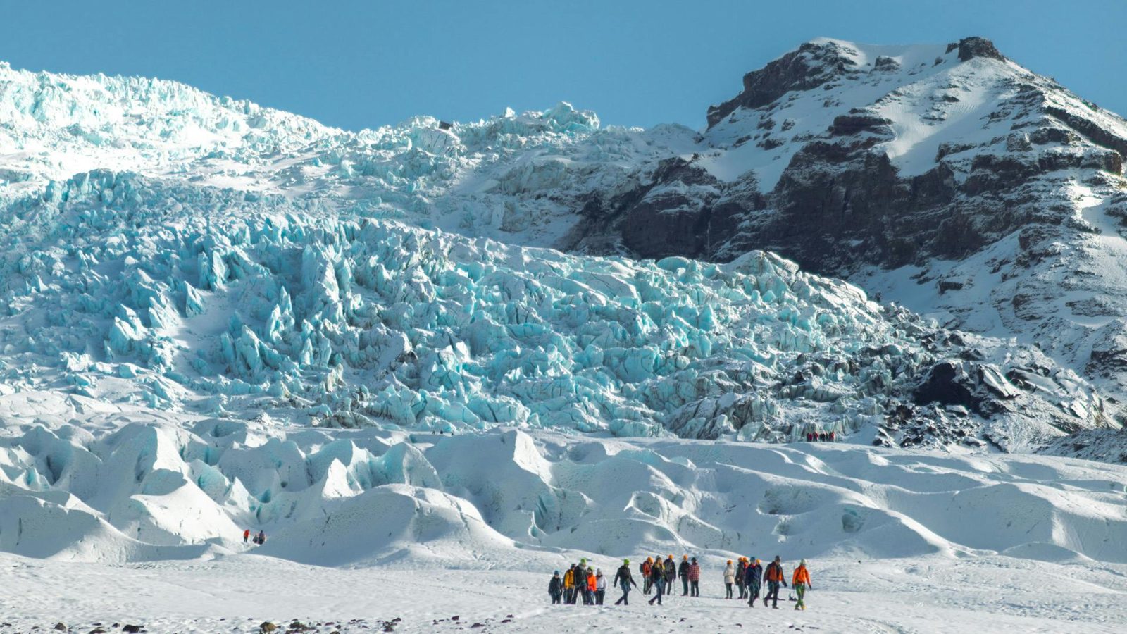
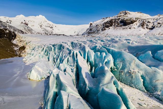
Skaftafell is also the main base for guided glacier walks. Tours go onto the outlet glaciers nearby all year, with ice climbing for those who want it and ice cave tours in winter. Svínafellsjökull, a few minutes’ drive away, has a viewpoint where you can stand close to the ice without going onto it.
The campsite at Skaftafell is one of the best placed in the country, at the foot of the trails, so you can walk to Svartifoss early or late when the path is quiet.
Best time to visit Svartifoss
Summer (June–August)All trails are open, days are long and the weather is at its mildest. The busiest time, so go early or late.
Autumn (September–October)Fewer people and autumn colours on the heath. Daylight is getting shorter.
Winter (November–March)Ice around the columns and a quiet trail, but paths can be very slippery and days are short. Bring spikes.
Spring (April–May)Rich bird life along the trail, and rising water in the river.
Safety and practical tips
- Wear proper hiking shoes. The path is uneven and can be wet or icy.
- Take a waterproof jacket. Weather at Skaftafell can change quickly.
- Stay on the marked path and behind any barriers. Rocks near the fall can be slippery.
- Go early or late in summer for a quieter visit.
- Bring water and snacks. There is a café at the visitor centre, but nothing on the trail.
- In winter, use ice spikes and check conditions at the visitor centre.
Facilities and accessibility
The Skaftafell visitor centre has toilets, a café, a shop and information about trails and conditions. There is also a campsite nearby. The trail to Svartifoss is a hike, so it is not suitable for wheelchairs or pushchairs.
Nearby places worth a stop
Where to stay near Svartifoss
There is a campsite at Skaftafell, and hotels and guesthouses along the Ring Road nearby, including Freysnes, Hof and Kirkjubæjarklaustur. Book ahead in summer.
Svartifoss FAQ
How high is Svartifoss?
About 20 metres.
How long is the hike to Svartifoss?
About 1.5 km each way from the visitor centre. Allow around 1.5–2 hours there and back.
How much does parking cost?
ISK 1,110 per car, valid until midnight on the day. Pay at the machine in the car park or online.
Is Svartifoss free to visit?
Yes, there is no entrance fee. You pay only for parking at Skaftafell.
Can you visit Svartifoss in winter?
Yes, the trail is open all year, but it can be icy and daylight is short. Bring spikes and check conditions.
Why is it called Svartifoss?
It means “Black Fall”, after the dark basalt columns around the waterfall.
Can you see Svartifoss from the road?
No. It is hidden in a gorge above Skaftafell and cannot be seen from the Ring Road or the visitor centre, so you have to walk up.
Which other waterfalls are on the Svartifoss trail?
Þjófafoss, Hundafoss and Magnúsarfoss, all in the same gorge below Svartifoss.
 Iceland Travel GuideLOCAL TRAVEL AGENCY IN ICELAND
My trip
Talk to a local