 Iceland Travel GuideLOCAL TRAVEL AGENCY IN ICELAND
My trip
Talk to a local
Iceland Travel GuideLOCAL TRAVEL AGENCY IN ICELAND
My trip
Talk to a local
Waterfalls, black beaches and glaciers along the South Coast to Jökulsárlón.
68 places · more guides are being added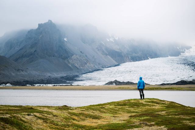 Southeast Iceland · Glacier lagoonBreiðárlónBreiðárlón is a glacier lagoon in Vatnajökull National Park in Southeast Iceland, on the Breiðamerkurjökull glacier and close to Fjallsárlón.
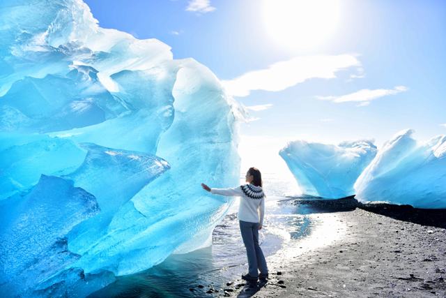 Southeast Iceland · BeachDiamond BeachDiamond Beach is a black sand beach on the south side of the Ring Road, directly opposite Jökulsárlón glacier lagoon, in Southeast Iceland.
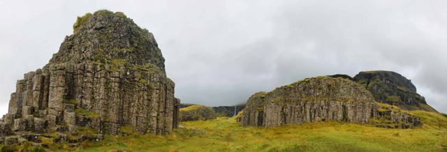 South Iceland · LandmarkDverghamrarDverghamrar (“Dwarf Rocks”) are two small cliffs of hexagonal basalt columns right beside the Ring Road in South Iceland, just east of the F.
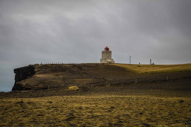 South Iceland · CliffsDyrhólaeyDyrhólaey is a 120-metre-high former island, now a peninsula, on the South Coast just west of Vík: about 6 km away in a straight line, but a.
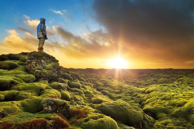 South Iceland · Lava fieldEldhraunEldhraun is one of the largest lava fields in the world, covering about 565 km² of South Iceland between Vík and Kirkjubæjarklaustur, right .
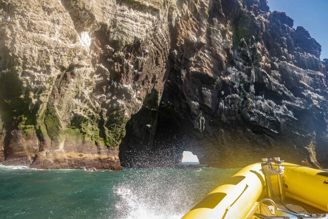 Westman Islands · CliffsElephant RockElephant Rock is a basalt sea cliff on the north-west coast of Heimaey, the main island of the Westman Islands, shaped by the sea to look li.
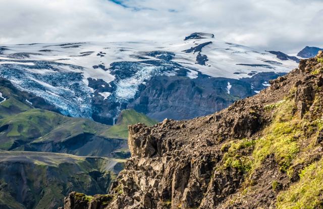 South Iceland · GlacierEyjafjallajökullEyjafjallajökull is an ice-capped volcano in South Iceland, best known for its 2010 eruption, which sent an ash cloud across Europe and grou.
 Southeast Iceland · Glacier lagoonFjallsárlónFjallsárlón is a glacier lagoon in Southeast Iceland, fed by Fjallsjökull, an outlet glacier of Vatnajökull, inside Vatnajökull National Par.
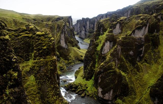 South Iceland · CanyonFjaðrárgljúfurFjaðrárgljúfur is a winding canyon in South Iceland, up to about 100 metres deep and roughly 2 km long, cut by the Fjaðrá river.
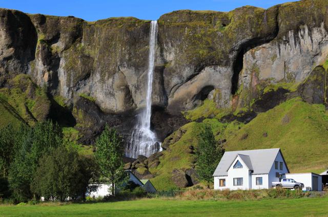 South Iceland · WaterfallFoss á SíðuFoss á Síðu is a slim waterfall about 30 metres high, dropping over a basalt cliff right beside a farm on the Ring Road, about 10 km east of.
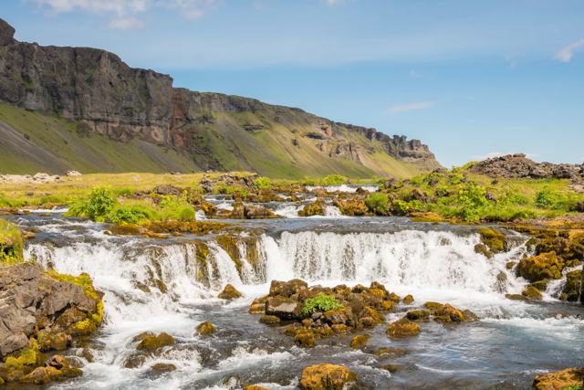 South Iceland · WaterfallFossálarFossálar is a small waterfall, or really a row of low cascades, where the Fossálar river steps down over dark lava ledges right beside the R.
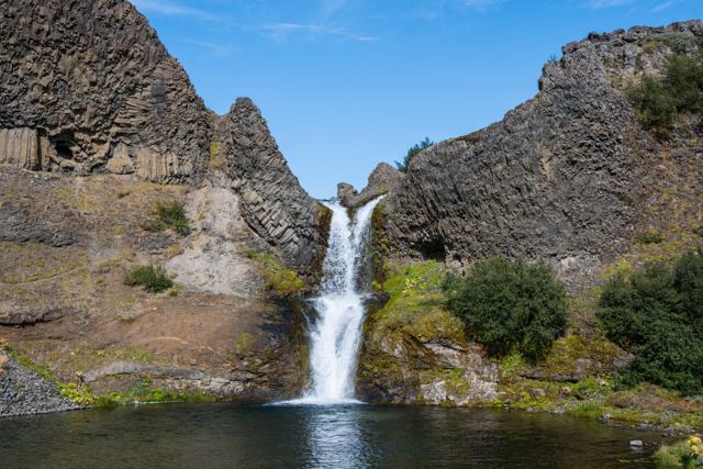 South Iceland · ValleyGjáinGjáin is a small, green valley with waterfalls, basalt columns and pools, tucked into the edge of the Þjórsárdalur highlands in South Icelan.
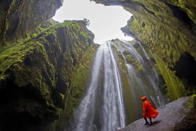 South Iceland · WaterfallGljúfrabúiGljúfrabúi is a 40-metre waterfall hidden inside a narrow, moss-covered canyon a short walk from Seljalandsfoss in South Iceland.
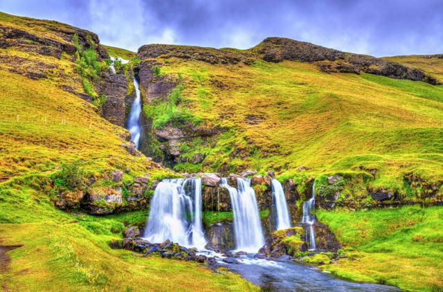 South Iceland · WaterfallGluggafossGluggafoss, also known as Merkjárfoss, is a waterfall on the river Merkjá in Fljótshlíð, South Iceland, with a total drop of about 52 metres.
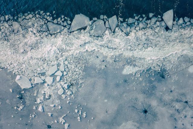 Southeast Iceland · LakeGrænalónGrænalón (“Green Lagoon”) is a glacial lake beside the north-western edge of the Skeiðarárjökull glacier, part of Vatnajökull.
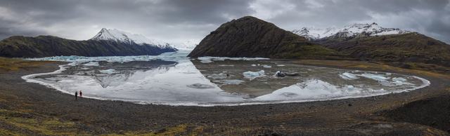 Southeast Iceland · Glacier lagoonHeinabergslónHeinabergslón is a glacier lagoon fed by the Heinabergsjökull outlet glacier, part of Vatnajökull, in Southeast Iceland.
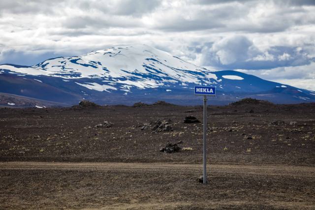 South Iceland · VolcanoHeklaHekla is a 1,491-metre volcano in South Iceland, one of the country's most active and historically feared, once nicknamed the "Gateway to He.
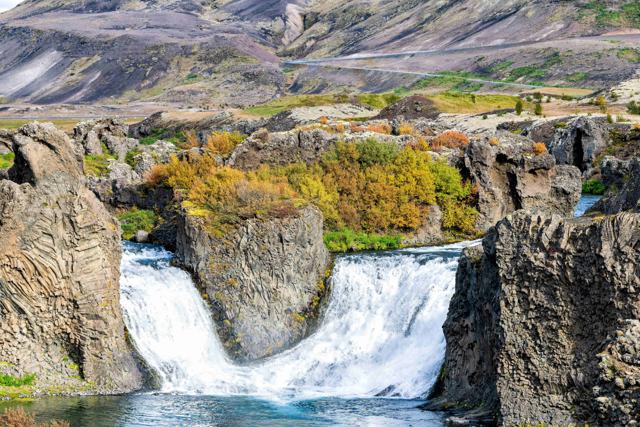 South Iceland · WaterfallHjálparfossHjálparfoss is a twin waterfall in the Þjórsárdalur valley in South Iceland, where the Fossá river splits into two falls just before joining.
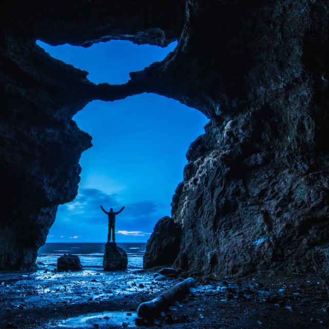 South Iceland · LandmarkHjörleifshöfði and the Yoda CaveHjörleifshöfði is a 221-metre promontory on the South Coast, about 14 km east of Vík, that was once an island and is now surrounded by black.
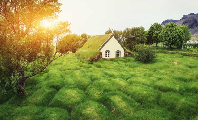 Southeast Iceland · ChurchHofskirkjaHofskirkja is a small turf church at Hof in the Öræfi district of Southeast Iceland, built in 1883–84 and often called the last turf church .
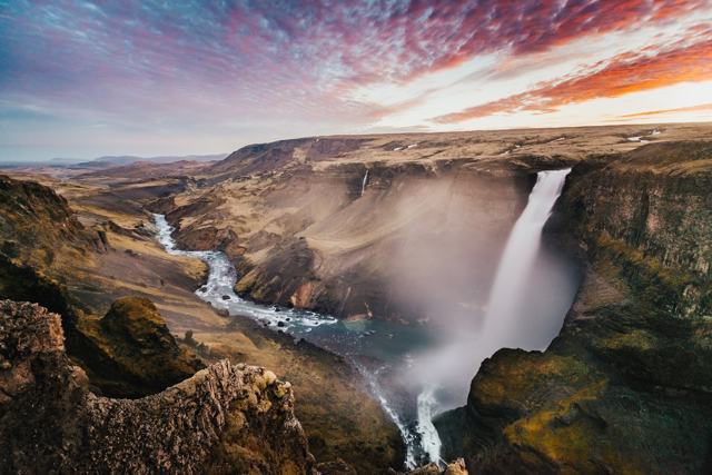 South Iceland · WaterfallHáifossHáifoss is one of Iceland's tallest waterfalls, dropping about 122 metres into a canyon in Þjórsárdalur valley, near its twin Granni.South Iceland · CaveHálsanefshellirHálsanefshellir is a shallow sea cave with basalt columns at the eastern end of Reynisfjara black sand beach, near Vík, about 180 km (2.5 ho.
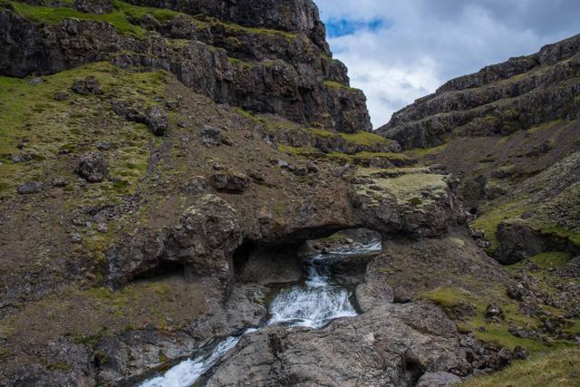 Southeast Iceland · TownHöfn í HornafirðiHöfn í Hornafirði is a fishing town on a small peninsula in Southeast Iceland, known across the country for langoustine (locally called lobs.
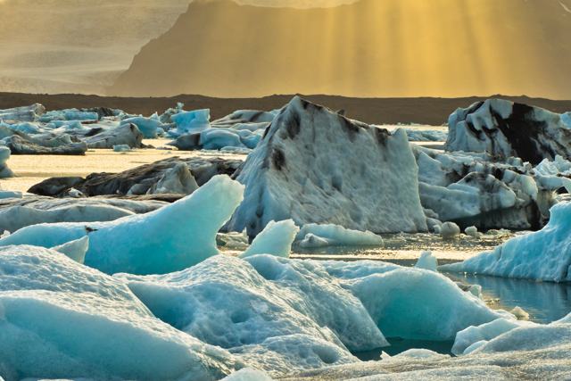 Southeast Iceland · Glacier lagoonJökulsárlónJökulsárlón is a glacier lagoon in Southeast Iceland, filled with icebergs that calve from the Breiðamerkurjökull outlet glacier and drift o.
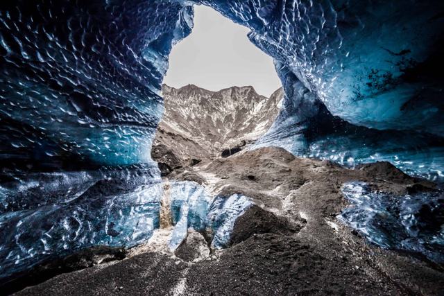 South Iceland · VolcanoKatlaKatla is a large, mostly ice-covered volcano beneath the Mýrdalsjökull glacier in South Iceland, near the village of Vík í Mýrdal.
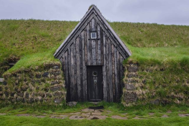 South Iceland · Turf housesKeldurKeldur is a farm of old turf buildings in South Iceland, near the volcano Hekla and about 20 minutes from Hella.
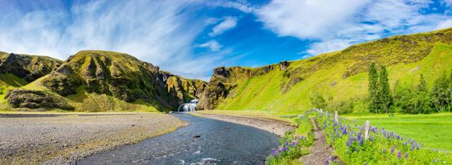 South Iceland · VillageKirkjubæjarklausturKirkjubæjarklaustur, often shortened to Klaustur, is a small village on the Ring Road in South Iceland, between the black sand beach at Vík .
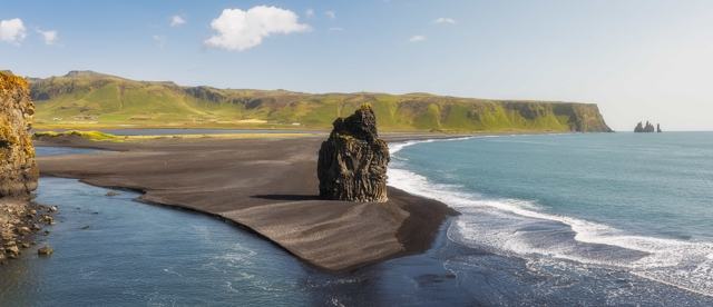 South Iceland · BeachKirkjufjaraKirkjufjara is a black sand beach at the foot of Dyrhólaey on the South Coast, across the lagoon outlet from the better-known Reynisfjara an.
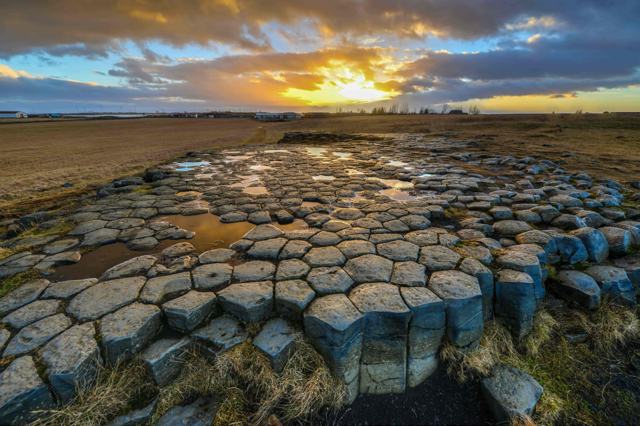 South Iceland · LandmarkKirkjugólfKirkjugólf (“the church floor”) is a small pavement of hexagonal basalt columns, about 80 square metres in size, just outside the village of.
 South Iceland · WaterfallKvernufossKvernufoss is a waterfall of 30–40 metres on the Kverná river, a short walk from the Skógar Museum car park in South Iceland.
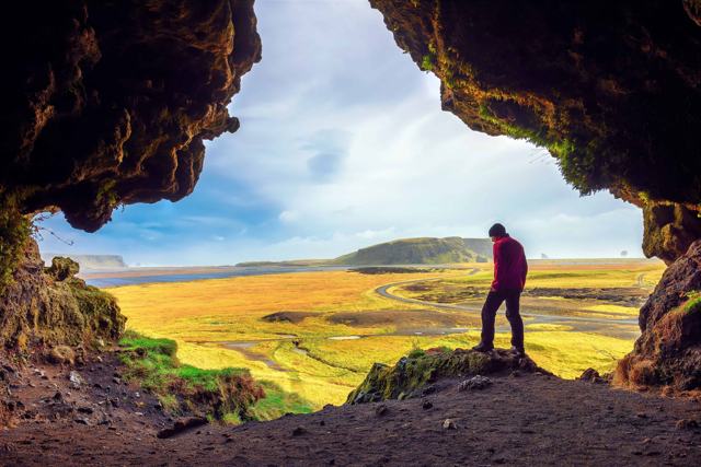 South Iceland · LandmarkLoftsalahellirLoftsalahellir is a small cave on the south-west side of Geitafjall, about 2.5 km up Road 218 from the Ring Road, on the way to Dyrhólaey ne.
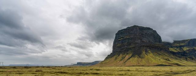 Southeast Iceland · MountainLómagnúpurLómagnúpur is a 764 m mountain with a sheer cliff face about 670 m high, rising out of the black sands of Skeiðarársandur near Núpsstaður in.
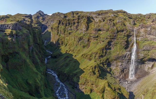 Southeast Iceland · CanyonMúlagljúfurMúlagljúfur is a canyon in Southeast Iceland, about 12 km west of Jökulsárlón glacier lagoon, with two waterfalls, Hangandifoss and Múlafoss.
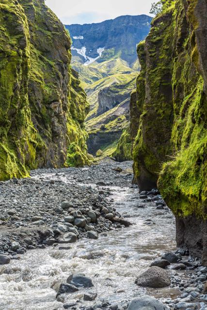 South Iceland · GlacierMýrdalsjökullMýrdalsjökull is Iceland's fourth largest ice cap, covering nearly 600 km² of South Iceland and hiding the active Katla volcano underneath.
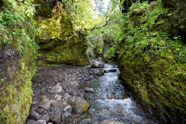 South Iceland · CanyonNauthúsagilNauthúsagil is a narrow ravine at the foot of Eyjafjallajökull in South Iceland, beside the farm Stóra-Mörk on Road 249, the road towards Þó.
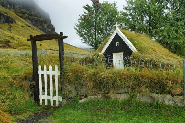 South Iceland · Turf housesNúpsstaðurNúpsstaður is a small turf church and old farm in Fljótshverfi, in the shadow of the mountain Lómagnúpur, just off the Ring Road between Kir.
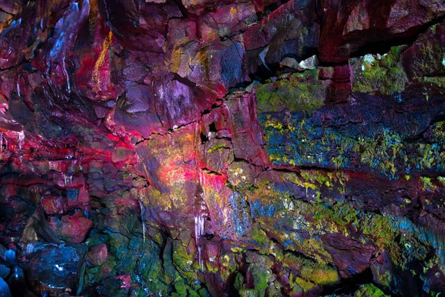 South Iceland · Lava caveRaufarhólshellirRaufarhólshellir is a 1,360-metre lava tube in South Iceland, the fourth-longest in the country, about 30 minutes' drive from Reykjavík.South Iceland · WaterfallRauðárfossRauðárfoss is a waterfall of about 20 m on the Rauðá river, close to Kirkjubæjarklaustur on the South Coast of Iceland.
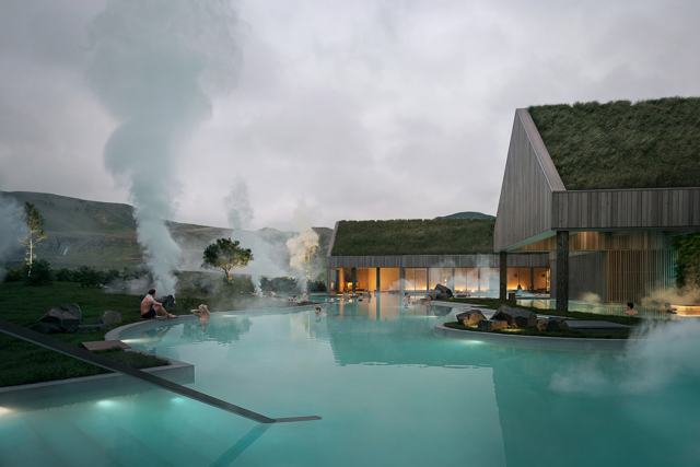 South Iceland · LagoonReykjaböð Hot SpringsReykjaböð Hot Springs is a new geothermal bathhouse at the start of the Reykjadalur valley, just above Hveragerði in South Iceland, about 35.
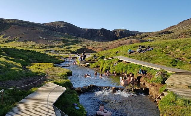 South Iceland · Hot springReykjadalurReykjadalur ("Steam Valley") is a geothermal river in the hills above Hveragerði where you can bathe in naturally warm water after a hike in.
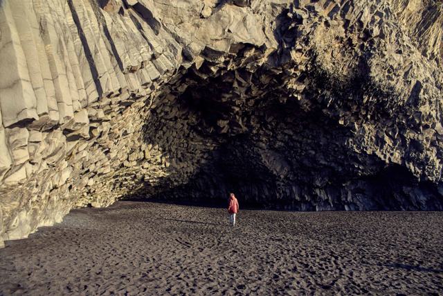 South Iceland · BeachReynisfjaraReynisfjara is a black sand beach on the south coast, about 7 km west of the village of Vík í Mýrdal and around 180 km (2 hours 30 minutes) .
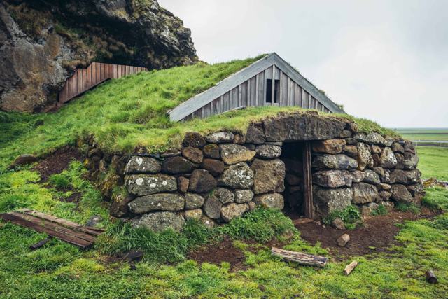 South Iceland · CaveRútshellirRútshellir is a cave cut by hand into the sandstone hillside at Hrútafell in South Iceland, close to the Ring Road west of Skógar.
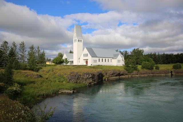 South Iceland · TownSelfossSelfoss is the largest town in South Iceland, on the banks of the Ölfusá river about 50 km (45–60 minutes) from Reykjavík, just off the Ring.
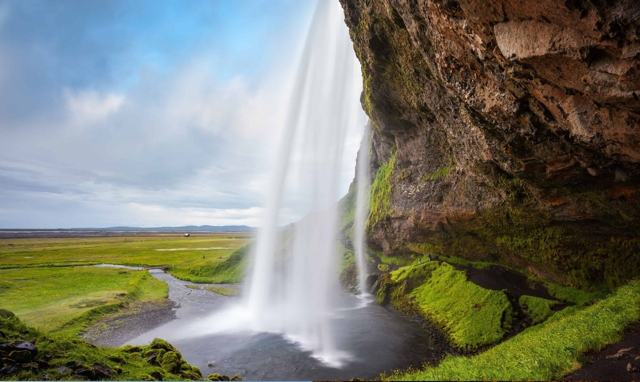 South Iceland · WaterfallSeljalandsfossSeljalandsfoss is a 60-metre waterfall on the Seljalandsá river in South Iceland, about 120 km (around 1 hour 40 minutes) from Reykjavík.
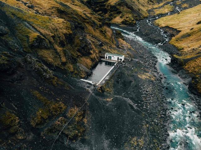 South Iceland · Swimming poolSeljavallalaugSeljavallalaug is a geothermally heated swimming pool built in 1923 into a hillside near Seljavellir, close to Skógar in South Iceland.
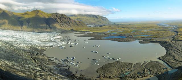 Southeast Iceland · ViewpointSjónarnípaSjónarnípa is a viewing point high above Skaftafellsjökull glacier in Skaftafell, part of Vatnajökull National Park in Southeast Iceland.
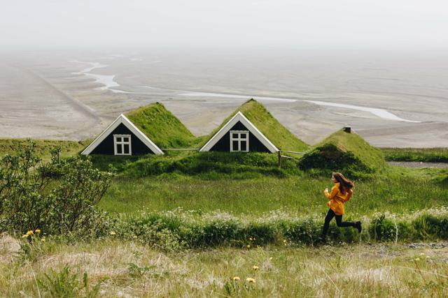 Southeast Iceland · Nature reserveSkaftafellSkaftafell is a hiking area within Vatnajökull National Park in Southeast Iceland, about 330 km (4–5 hours) from Reykjavík.
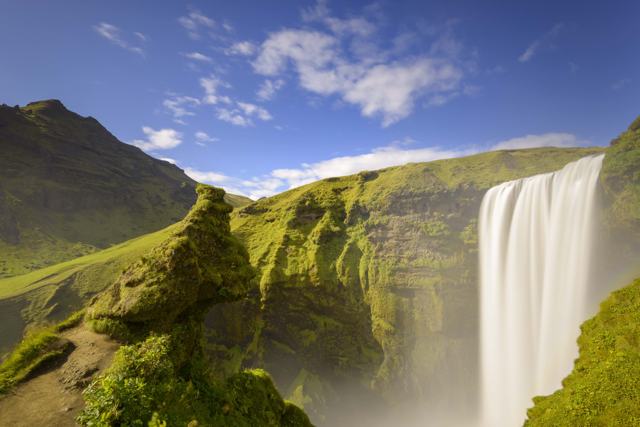 South Iceland · WaterfallSkógafossSkógafoss is a 60-metre waterfall on the Skógá river in South Iceland, right beside the village of Skógar, about 150 km (around 2 hours) fro.
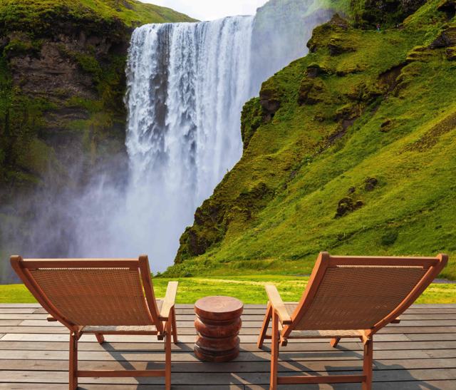 South Iceland · VillageSkógarSkógar is a small village of around 25 people on the South Coast Ring Road, best known as the site of Skógafoss waterfall and the Skógar fol.
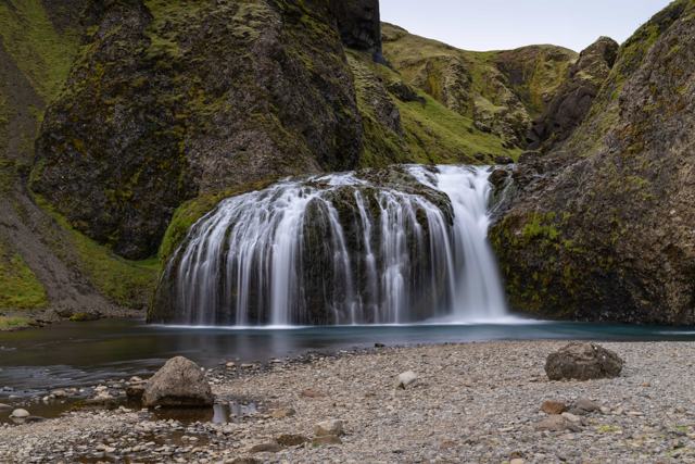 South Iceland · WaterfallStjórnarfossStjórnarfoss is a small, wide waterfall on the river Stjórn at Kleifar, a few minutes outside the village of Kirkjubæjarklaustur in South Ic.
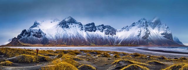 Southeast Iceland · LandmarkStokksnesStokksnes is a peninsula on the Southeast coast, about 17 km from Höfn and 465 km (around 6 hours) from Reykjavík, known for views of the ja.
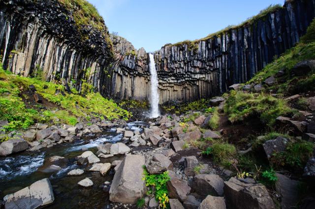 Southeast Iceland · WaterfallSvartifossSvartifoss (“Black Fall”) is a 20-metre waterfall in Skaftafell, Vatnajökull National Park, framed by dark hexagonal basalt columns.
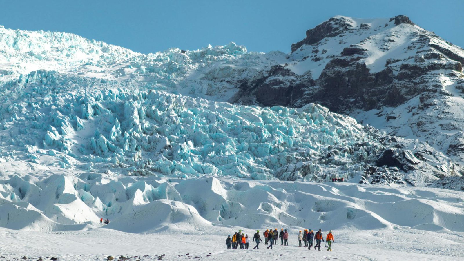 Southeast Iceland · GlacierSvínafellsjökullSvínafellsjökull is an outlet glacier flowing down from Vatnajökull, Europe's largest ice cap, close to the Skaftafell area of Vatnajökull N.
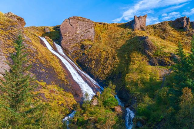 South Iceland · WaterfallSystrafossSystrafoss (“Sisters’ Falls”) is a waterfall with two streams on a cliff right above the village of Kirkjubæjarklaustur on Iceland’s South C.
 South Iceland · GlacierSólheimajökullSólheimajökull is an outlet glacier of Mýrdalsjökull on the south coast, about 174 km (around 2 hours 40 minutes) from Reykjavík.
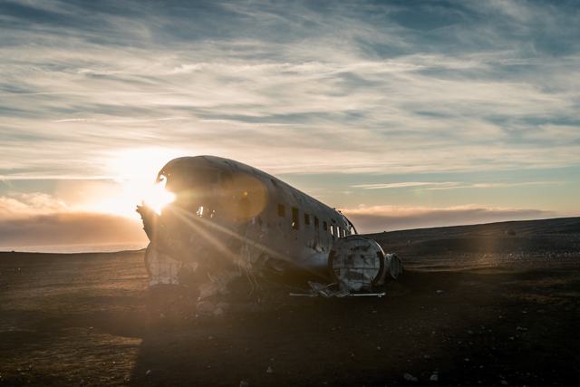 South Iceland · LandmarkSólheimasandur plane wreckThe Sólheimasandur plane wreck is the rusted hull of a US Navy Douglas Super DC-3 that made an emergency landing on this black sand plain in.
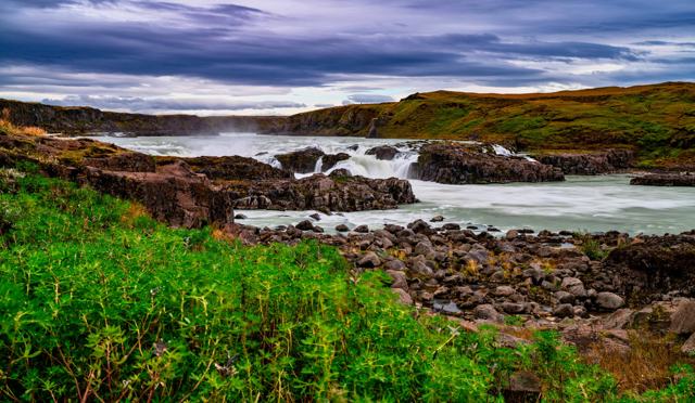 South Iceland · WaterfallUrriðafossUrriðafoss is a low but very wide waterfall on the Þjórsá, Iceland's longest river, with the highest average flow of any waterfall in Icelan.
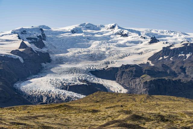 Southeast Iceland · GlacierVatnajökullVatnajökull is Iceland's largest glacier and, by volume, the largest ice cap in Europe, covering around 7,700 km², about 8% of the country.
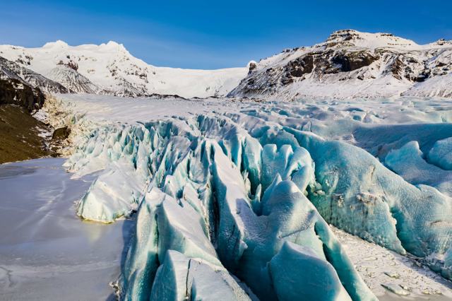 Southeast Iceland · National parkVatnajökull National ParkVatnajökull National Park is Iceland's largest national park, built around Europe's biggest ice cap, and covers roughly 14,967 km² (about 14.
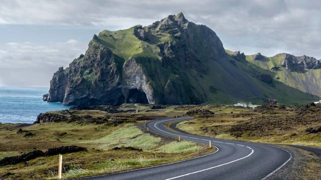 Westman Islands · IslandVestmannaeyjarVestmannaeyjar is a group of volcanic islands off the south coast of Iceland, with Heimaey as the only inhabited one.Southeast Iceland · LandmarkViking Village (Stokksnes)The Viking Village is a replica Viking settlement built as a film set at the foot of Vestrahorn mountain on Stokksnes, southeast Iceland, ar.
 South Iceland · VillageVík í MýrdalVík í Mýrdal is Iceland's southernmost village, on the Ring Road in South Iceland, about 180 km (around 2 hours 30 minutes) from Reykjavík.South Iceland · WaterfallÍráfossÍráfoss (also written Írárfoss, and sometimes called Árjánurfoss) is a narrow waterfall on the Írá river under the Eyjafjöll mountains in So.
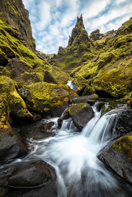 South Iceland · CanyonÞakgilÞakgil is a canyon and hiking area in the hills behind Vík í Mýrdal in South Iceland, with Rémundargil as its best-known side ravine.
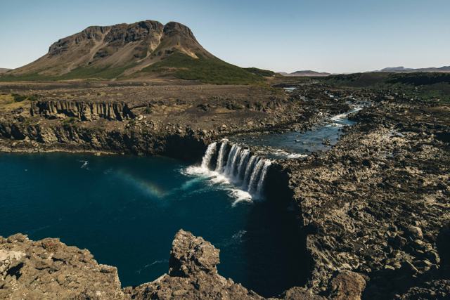 South Iceland · WaterfallÞjófafossÞjófafoss is a wide, horseshoe-shaped waterfall on the Þjórsá river in Þjórsárdalur, South Iceland, in view of Mount Hekla.South Iceland · ValleyÞjórsárdalurÞjórsárdalur is a wide valley in South Iceland at the edge of the highlands, home to waterfalls, lava fields and the ruins of Viking-age far.
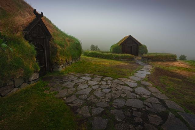 South Iceland · MuseumÞjóðveldisbærinn StöngÞjóðveldisbærinn (the Commonwealth Farm) is a full-scale reconstruction of a Viking-Age Icelandic longhouse, built in the Þjórsárdalur valle.South Iceland · MountainÞríhyrningurÞríhyrningur ("three-peaks") is a distinctive three-peaked mountain above Fljótshlíð in South Iceland, 678 m high and about 120 km from Reyk.