Iceland Travel GuideLOCAL TRAVEL AGENCY IN ICELAND
My trip
Talk to a local
Iceland Travel GuideLOCAL TRAVEL AGENCY IN ICELAND
My trip
Talk to a local
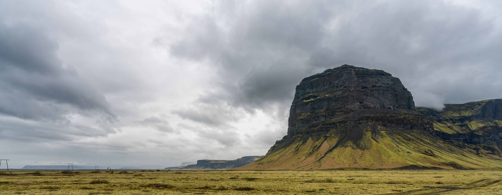
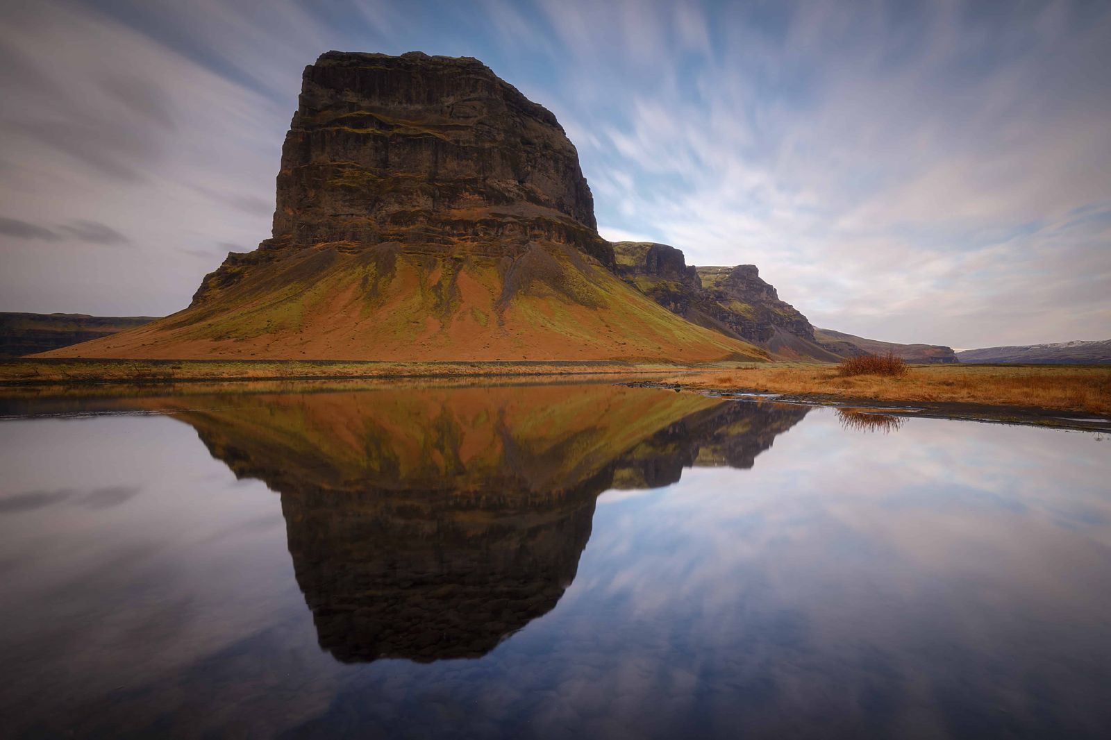
Lómagnúpur is a 764 m mountain with a sheer cliff face about 670 m high, rising out of the black sands of Skeiðarársandur near Núpsstaður in Southeast Iceland. It is about 290 km (around 3 hours 45 minutes) from Reykjavík, right on the Ring Road, free to view, and open all year. Most people stop for 10–15 minutes, and photographers often stay an hour or two.
Lómagnúpur stands almost alone at the western edge of Skeiðarársandur, a huge outwash plain built up by glacial floods from Vatnajökull. The mountain was once a sea cliff before the sandur formed in front of it, and its sheer south face still has that look, a wall of rock rising straight out of flat black sand with almost nothing in front of it.
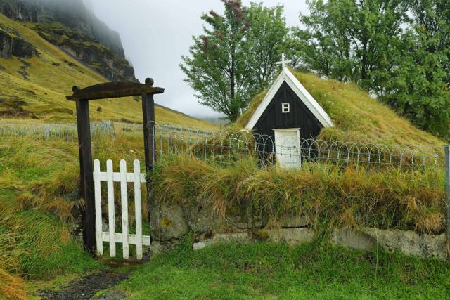
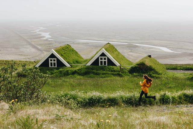
It is one of the most recognisable landmarks on the drive between Kirkjubæjarklaustur and Skaftafell, visible from a long way off in both directions. The turf farm of Núpsstaður sits at its base, one of the last traditional turf building groups in Iceland, with an old turf church among the buildings.
The mountain is so large that on a clear day you can pick it out from Skaftafell, more than 30 km to the east, and it stays in view for a long stretch of the Ring Road. Many travellers drive straight past on their way to Skaftafell or the glacier lagoons. It deserves a proper stop, because the light on the cliff changes with every shift in the weather.
Lómagnúpur is built mostly of palagonite, with layers of lava and sediment, laid down by eruptions under ice-age glaciers. The lowest layers are about 2.5 million years old, and the upper layers are 1–1.5 million years old.
Icelandic folklore holds that the country is watched over by four landvættir, guardian spirits tied to its four quarters: a dragon over the east, a bull over the west, a giant eagle or griffin over the north, and a giant over the south. That giant is traditionally said to live inside Lómagnúpur. The four appear together on Iceland's coat of arms, and the story is usually traced back to the Norse sagas.
The giant has a name, Járngrímur, and a part in Njáls saga. After the burning of Njáll, the chieftain Flosi dreams that he is standing at Lómagnúpur. The mountain opens and a huge man walks out, dressed in goatskin and carrying an iron staff. He calls out the names of Flosi's men, one by one. A wise friend tells Flosi what the dream means: every man named is going to die.
Locals have long said that giants live in the mountain. Stand under the cliff on a grey day with cloud hanging on the top, and it is easy to see why.
Never stop on the carriageway for a photo. The road is narrow, traffic is fast and crosswinds on the sandur are strong.
Lómagnúpur is one of the most photographed mountains in Iceland. Sunrise and sunset give it two quite different faces, and it can be seen from so far away that you have a wide choice of foregrounds.
After dark the mountain becomes a huge black shape against the sky, and on a clear night between September and April the aurora can move above and behind it. There are almost no lights here, so the sky is properly dark.
Use a pull-off a few kilometres from the mountain so that you can fit both the cliff and the sky into the frame. A wide lens of around 14 mm, a tripod and a long exposure are what you need. Dress warmly, check the cloud forecast, and keep well off the road with your car lights off.
Lómagnúpur is best admired from a distance. The cliff is steep and loose, and large pieces of it have come down more than once. The biggest known rockslide fell from the west side in July 1789, during an earthquake, and its debris, known as Hlaupið, can still be seen from the road.
Do not walk in under the cliff or try to climb the face. View it from the road, the pull-offs and Núpsstaður.
There are no facilities at Lómagnúpur itself. The nearest services are in Kirkjubæjarklaustur or, heading east, at Skaftafell.
Kirkjubæjarklaustur and the area around Skaftafell both have accommodation within a short drive, and either makes a good base for seeing Lómagnúpur along the way.
The mountain is 764 m high. The sheer cliff at its front, Lómagnúpsnef, is about 670 m, one of the highest cliff faces in Iceland.
Beside the Ring Road in Southeast Iceland, at the western edge of Skeiðarársandur, about 35 km east of Kirkjubæjarklaustur and about 35 km west of Skaftafell.
It is a very steep cliff and not a maintained hiking route for casual visitors; most people see it from the road.
It is traditionally named as the home of the giant guardian spirit said to watch over South Iceland, one of the four landvættir on Iceland's coat of arms.
No, it is visible for free from the Ring Road.
Yes, on clear, dark nights from September to April. There is very little light pollution, and the mountain makes a strong foreground.
Only if you go in under the cliff. Rock has fallen from the mountain many times, including a large rockslide in 1789. From the road and the pull-offs it is perfectly safe.