Iceland Travel Guide logo Iceland Travel GuideLOCAL TRAVEL AGENCY IN ICELAND My trip Talk to a local
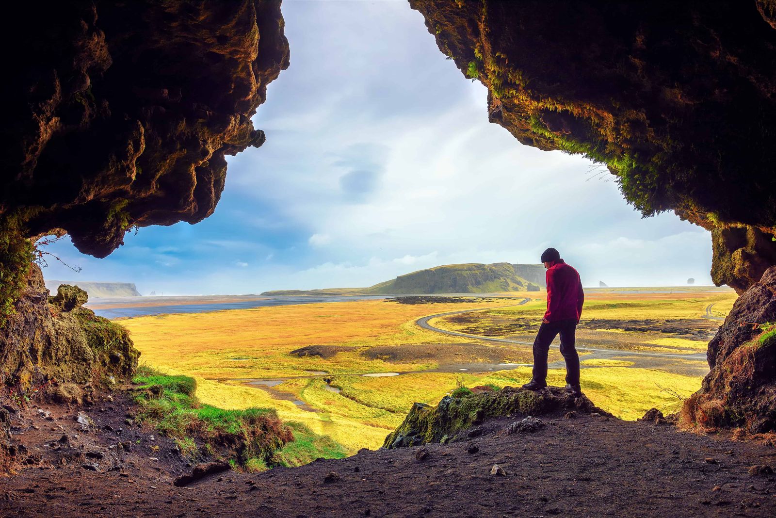
Loftsalahellir cave

South IcelandLandmarkFree entryOpen all year
LOFTSALAHELLIR IN SHORT

Loftsalahellir is a small cave on the south-west side of Geitafjall, about 2.5 km up Road 218 from the Ring Road, on the way to Dyrhólaey near Vík. It is free to visit, open all year, and the walk from the car park is short but steep. Most people spend 20–40 minutes here.

ON THIS PAGE
Quick factsHistoryGetting thereAroundBest time to visitSafety tipsFacilitiesMapNearbyWhere to stayFAQ

About Loftsalahellir

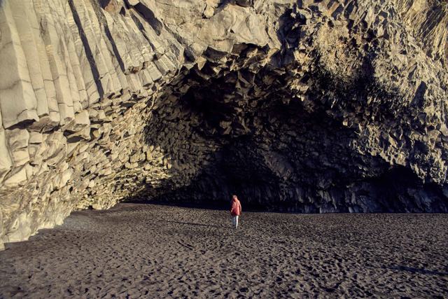
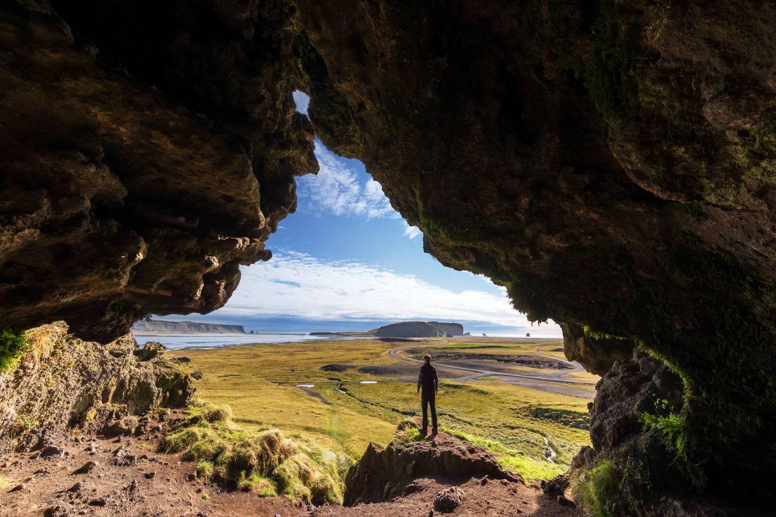
Loftsalahellir is a small, wide-mouthed cave in a hillside of tuff, the rock formed from compacted volcanic ash. Its mouth is roughly triangular and covered with moss and grass, and it looks out over the meadows towards Dyrhólaey and the beach at Reynisfjara. The cave itself is only a few dozen square metres, so people come for the view and the setting rather than to explore inside.

It is part of the Katla UNESCO Global Geopark. Farmers from Mýrdalur used the cave as a meeting place, and the Katla Geopark describes it as an assembly place. It sits away from the busiest stops around Vík, so it is a quieter option in the same area.

What you come for is the view out of the cave mouth. Standing inside, you look across flat green farmland to the arch and lighthouse of Dyrhólaey and, further east, to the black beach at Reynisfjara. Photographers like the way the dark rock frames the landscape, and it works at any time of day. Because few travellers know about the cave, you often have it to yourself.

Quick facts

TypeSmall tuff cave, a few dozen square metres, with a mossy triangular mouth
LocationSouth-west side of Geitafjall, off Road 218 (Dyrhólavegur)
From the Ring RoadAbout 2.5 km along Road 218; the turn-off is opposite Skeiðflatarkirkja church
From ReykjavíkAbout 176 km
EntryFree
ParkingSmall car park at the foot of the hill
WalkUnder 5 minutes from the car park, short but steep; muddy when wet
Opening hoursOpen all year, no set hours
Time needed20–40 minutes

A meeting place for farmers

The Katla Geopark identifies Loftsalahellir as an assembly place for farmers in Mýrdalur, who gathered here to settle local matters in the days before the area had dedicated meeting halls. Nearby stands Gálgaklettur, the “gallows rock”. Folklore links it to executions, although no record confirms that any took place there.

How to get to Loftsalahellir

By carDrive Route 1 to the turn-off for Road 218 (Dyrhólavegur), opposite Skeiðflatarkirkja church. Follow it about 2.5 km and look for the small car park and sign on the left, before you reach Dyrhólaey.
On a guided tourHardly any group tours stop at Loftsalahellir, because it is small and little known. If you want to see it, drive yourself or book a private South Coast tour and ask for the stop. It adds very little time to a visit to Dyrhólaey.
By public transportThere is no bus to the car park, so a car is needed.

Exploring around Loftsalahellir

The cave is a short stop, so most people fit it into a day on the South Coast. These places are on the same stretch of the Ring Road.

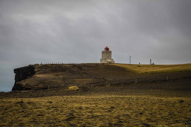
Dyrhólaey and KirkjufjaraContinue to the end of Road 218 for the cliffs, the rock arch and the lighthouse at Dyrhólaey, with the beach Kirkjufjara below. Puffins nest here in summer.
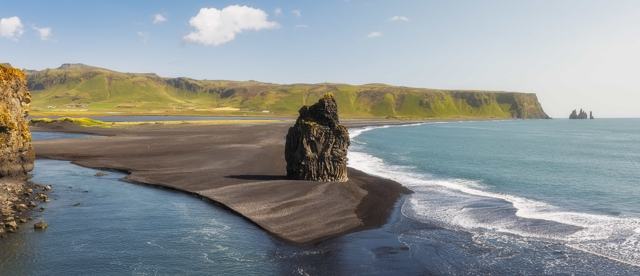
ReynisfjaraThe black sand beach with basalt columns and the Reynisdrangar sea stacks, reached by Road 215 further east. Keep well back from the waves.
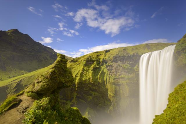
Skógafoss and SeljalandsfossThe two big waterfalls of the South Coast lie west of here on the Ring Road, with Kvernufoss tucked in a gorge next to Skógafoss.
SólheimajökullA glacier tongue you can walk up to from a car park, and the starting point for guided glacier hikes.

With one or two days on the South Coast you can see waterfalls, glaciers, black beaches and this cave without long detours.

Best time to visit Loftsalahellir

SummerEasiest access, longer daylight, and birdlife such as Arctic terns and oystercatchers around the meadows.
WinterThe steep path can be very slippery, so ice spikes help. The cave mouth frames the Northern Lights on clear nights, but take care in the dark.

Safety and practical tips

  • Wear proper shoes; the short path is steep and can be muddy and slippery after rain.
  • Sunset gives the best light, but the path is harder to see in the dark, so bring a torch.
  • Combine it with Dyrhólaey and Reynisfjara, both a few kilometres away.
  • Check the weather on vedur.is and road conditions on umferdin.is before heading out.

Facilities and accessibility

There are no facilities at the site. Vík has shops, fuel and places to eat.

On the map

Open in Google Maps →

Nearby places worth a stop

DyrhólaeyDyrhólaeyCoastal promontory with an arch, about 3 km awayReynisfjaraReynisfjaraBlack sand beach, about 4 km awayVík í MýrdalVík í MýrdalNearest town, with servicesKirkjufjaraKirkjufjaraBlack sand beach below DyrhólaeySkógafossSkógafossWide 60-metre waterfall west on the Ring RoadSólheimajökullSólheimajökullGlacier tongue with guided hikes

Where to stay near Loftsalahellir

Vík í Mýrdal has hotels and guesthouses and is the natural base for this area.

Loftsalahellir FAQ

What is Loftsalahellir?

A small tuff cave on the south-west side of Geitafjall, near Dyrhólaey, that local farmers used as a meeting place.

Is there an entry fee?

No, it is free to visit.

Is it easy to find?

Yes, if you use Road 218 towards Dyrhólaey. It is about 2.5 km from the Ring Road, with a small car park and a sign at the foot of the hill.

How long does the walk take?

Under five minutes from the car park, but it is steep and can be muddy.

What can you see from Loftsalahellir cave?

The view from the cave mouth takes in the farmland of Mýrdalur, Dyrhólaey and, in the distance, Reynisfjara.

Do guided tours stop at Loftsalahellir?

Almost no group tours do. Visit by rental car, or ask for it on a private South Coast tour.
More places in South Iceland