Iceland Travel GuideLOCAL TRAVEL AGENCY IN ICELAND
My trip
Talk to a local
Iceland Travel GuideLOCAL TRAVEL AGENCY IN ICELAND
My trip
Talk to a local

Eyjafjallajökull is an ice-capped volcano in South Iceland, best known for its 2010 eruption, which sent an ash cloud across Europe and grounded flights for days. It sits about 120 km (around 1 hour 30 minutes) from Reykjavík on the Ring Road, is free to view from the road, and is visible all year. To get onto the glacier itself you need a guided tour.
Eyjafjallajökull is a volcano capped by an ice sheet, standing 1,651 m high between the waterfalls of Skógafoss and Seljalandsfoss. Most travellers see it simply as a striking backdrop on the drive along the south coast, with the glacier visible from Route 1 for a long stretch between roughly kilometre markers 130 and 150.
In 2010 it produced two eruptions: a smaller one at Fimmvörðuháls in March, followed by a much larger eruption under the ice cap in April. Meltwater and fine ash combined to send an ash plume high into the atmosphere, and the resulting cloud disrupted air travel across Europe for days, grounding well over 100,000 flights. The farm Þorvaldseyri, at the foot of the volcano, sat directly in the path of the ash. Its small visitor centre has since closed, but the information signs by the road are still there.
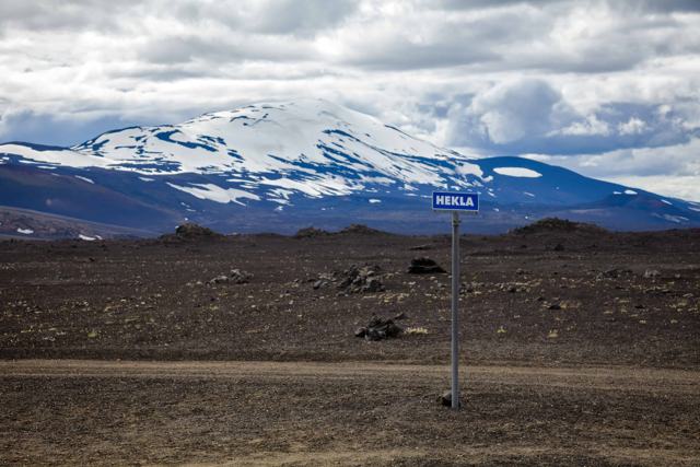
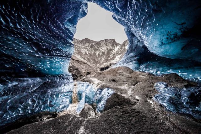
Eyjafjallajökull is a stratovolcano, built up from layers of lava, ash and rock, and it lies in Iceland's East Volcanic Zone. Iceland has around 130 volcanic mountains and about 30 active volcanic systems, and on the drive along the south coast you pass several of the best known: Hekla to the north of the road, then Eyjafjallajökull, then Katla under the Mýrdalsjökull ice cap.
For most of the world, Eyjafjallajökull became famous overnight in April 2010, when its ash cloud shut down airspace across Europe for nearly a week, stranding millions of travellers. For the farming families living beneath it, including at Þorvaldseyri, the eruption meant weeks of ash fall on fields and buildings rather than a headline.
The eruptions were small by Icelandic standards. What made them matter was the fine ash, produced when magma met glacier ice, and the wind that carried it straight towards the busiest airspace in the world.
It is hard, and for most people not possible, to visit the glacier on your own. Glacier travel here needs proper equipment and local knowledge because of crevasses, so enjoy the view from the Ring Road or go with a guide.
The name looks like a tongue twister, but it is three plain Icelandic words joined together: eyja (islands), fjalla (mountains) and jökull (glacier). Together they mean "the glacier of the island mountains".
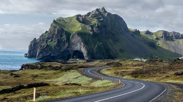
The islands are Vestmannaeyjar, the Westman Islands, which lie just off the coast and are easy to see from the slopes on a clear day. The mountains are Eyjafjöll, the range the ice cap sits on. You will also see the volcano called Eyjafjalla Glacier or simply Eyjafjöll.
Strictly speaking, Eyjafjallajökull is the name of the ice cap. The volcano lies beneath it, and its highest point reaches 1,651 m above sea level.
The events of 2010 unfolded over several months.
Most people see the volcano from the road. These are the ways to get closer.
Weather on the glacier changes fast, and tours are cancelled when conditions are unsafe. Keep your plans flexible.
There are no facilities at the volcano or glacier itself, and the former visitor centre at Þorvaldseyri is closed. The nearest places with fuel, food and toilets are Hvolsvöllur and Skógar.
Hvolsvöllur and the villages along the south coast, such as Hella and Skógar, have hotels and guesthouses within easy reach of the volcano.
Yes, it is clearly visible from Route 1 for a long stretch of the south coast drive.
It last erupted in 2010 and is currently dormant, but it is an active volcano and is monitored accordingly.
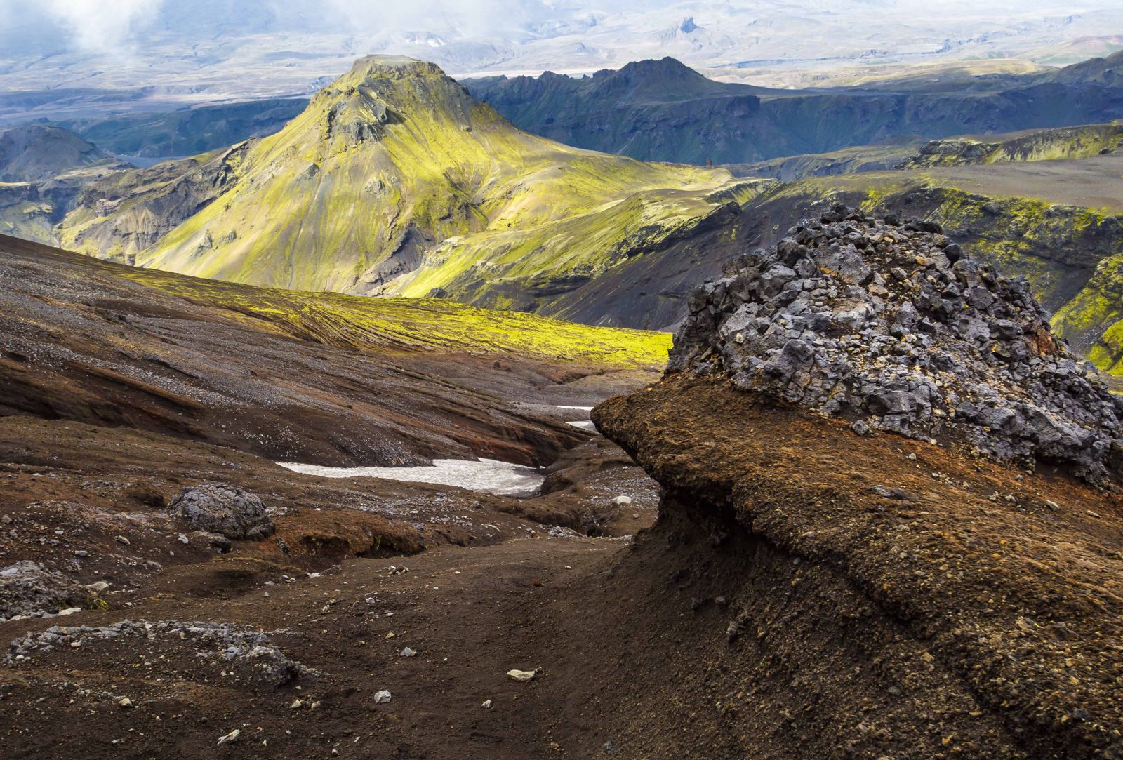
Only with a qualified guide, because of hidden crevasses. The Fimmvörðuháls trail crosses its lower slopes and 2010 lava field.
About 120 km, around 1 hour 30 minutes by car along the Ring Road.
It means "the glacier of the island mountains": eyja (islands), fjalla (mountains) and jökull (glacier). The islands are Vestmannaeyjar, just off the coast.
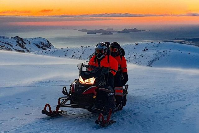
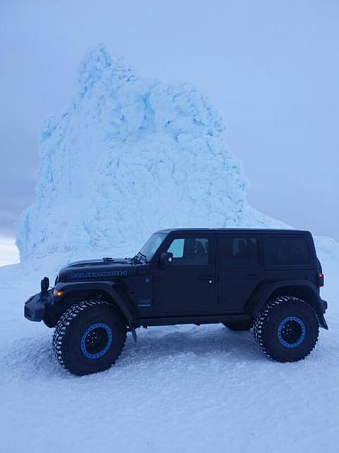
You can see it well from the Ring Road, but going onto the glacier on your own is not realistic. Join a super jeep or snowmobile tour, or hike Fimmvörðuháls.
A small eruption began on Fimmvörðuháls on 20 March 2010, and the larger summit eruption followed on 14 April. It was declared over in October 2010.
Tours and trips that include Eyjafjallajökull, booked directly with a local travel agency in Iceland.