Iceland Travel GuideLOCAL TRAVEL AGENCY IN ICELAND
My trip
Talk to a local
Iceland Travel GuideLOCAL TRAVEL AGENCY IN ICELAND
My trip
Talk to a local
Þríhyrningur ("three-peaks") is a distinctive three-peaked mountain above Fljótshlíð in South Iceland, 678 m high and about 120 km from Reykjavík. It is free to visit, best hiked in summer, and the round trip of about 7 km takes around 3 hours.
Þríhyrningur rises on its own north of the farmland of Fljótshlíð, its three summits visible from much of South Iceland. Between the peaks lies Flosadalur, a small valley named after Flosi of Svínafell, a character in Njáls saga, one of Iceland's best-known medieval sagas.
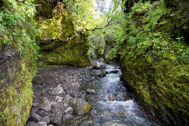
The mountain is 678 metres high. According to local accounts it was formed long ago, when the land lay under ice-age glaciers. Two gorges, Katrínargil and Tómagil, cut into its sides.
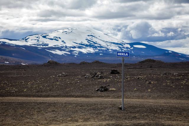
The hike up is steep in places but doesn't require technical skill in summer conditions, and the reward from the top is one of the better viewpoints in the region: Hekla to the north, Eyjafjallajökull and the Fljótshlíð slopes to the south-east, the Tindfjöll mountains and Þórsmörk to the east, and on a clear day the Vestmannaeyjar islands out to sea.
It is a quiet hike, a long way from city traffic and well off the usual tourist route, and for many people that is the reason to come.
Flosadalur, the valley between Þríhyrningur's peaks, takes its name from Flosi Þórðarson of Svínafell, one of the central figures in Njáls saga, who is said to have hidden here with his men after the burning of Njáll's farm at nearby Bergþórshvoll. The story is one of the most dramatic in the saga, and the landscape around Fljótshlíð is full of place names tied to it.
A local legend adds that Flosi hid a chest of treasure in a cave on the north side of the mountain. Nobody has found it.
Whether or not every detail of the saga is historically accurate, the mountain has clearly been a landmark for the farms of Fljótshlíð for as long as they have existed, visible from almost every farmstead in the valley below. An old travel route through the district, no longer in use, passed close by.
The unpaved approach road can be affected by snow and is generally best driven from late spring to autumn.
The route is about 7 km there and back, with roughly 500 metres of climbing. Most hikers take around 3 hours, a little less if they are fit and a little more with photo stops.
The route follows sheep tracks rather than a built, signed path, and cloud can settle on the peaks quickly. Carry a map or a GPS track, and turn back if you lose visibility.
The mountain is in Njáls saga country, and there is plenty to fill the rest of the day nearby.
None at the trailhead. The nearest services are in Hvolsvöllur.
Hvolsvöllur and the wider Fljótshlíð area have hotels, guesthouses, hostels and farm accommodation within easy reach of the trailhead.
It is a steep climb in places, about 7 km and 3 hours round trip with around 500 metres of ascent. It suits hikers with reasonable fitness rather than complete beginners.
About 120 km, around 1 hour 45 minutes by car to the trailhead.
At the parking area by the Fiská river in Vatnsdalur, about 7 km beyond Tumastaðir on the Fljótshlíð road (Route 261).
No, there is no entrance fee.
On a clear day, Hekla, Tindfjöll, Þórsmörk, Eyjafjallajökull, Seljalandsfoss and the Vestmannaeyjar islands.
It is not recommended. The road can be closed by snow and the steep slopes are icy. The usual season is May to October.