STAKKHOLTSGJÁ IN SHORTStakkholtsgjá is a narrow gorge, up to about 100 m deep, on the way into Þórsmörk in the southern highlands, reached from Seljalandsfoss along Route 249 and the F249 mountain track. It is free to enter and only accessible in summer, with a 4x4 or on a tour. The walk to the waterfall at the end and back takes 1.5–2 hours.
About Stakkholtsgjá
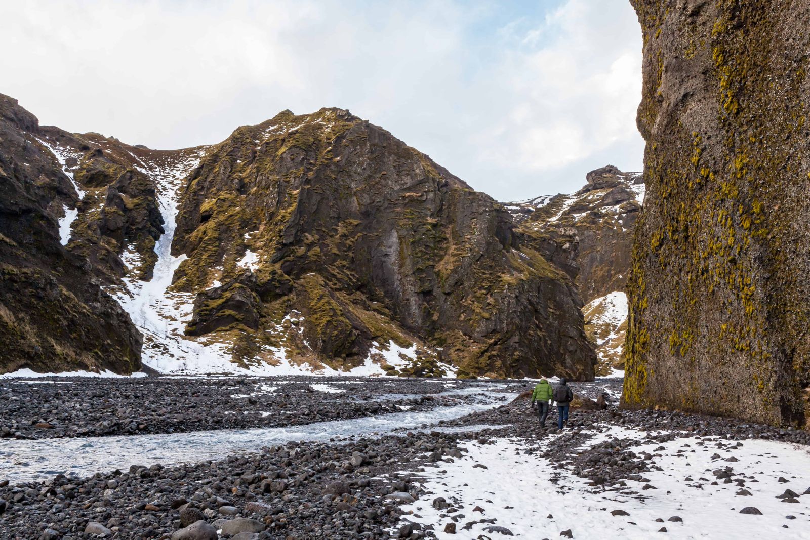
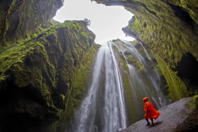
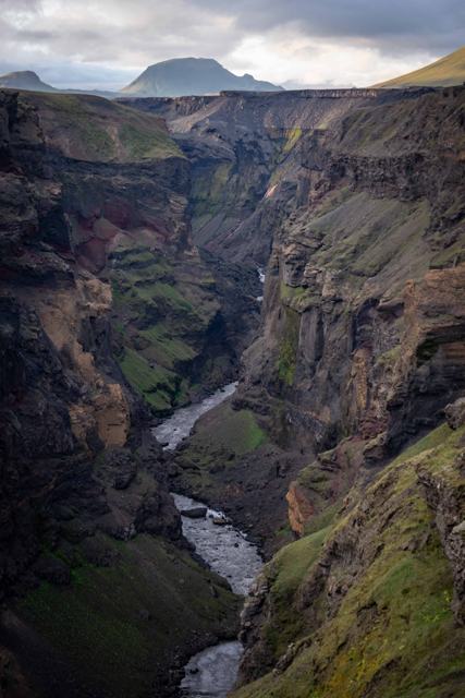
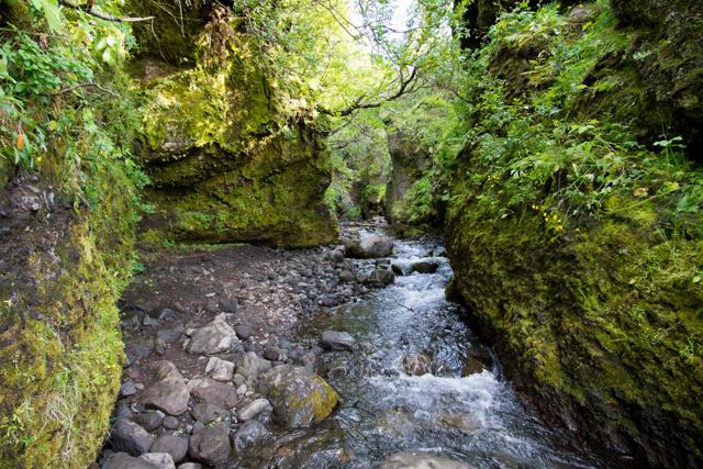
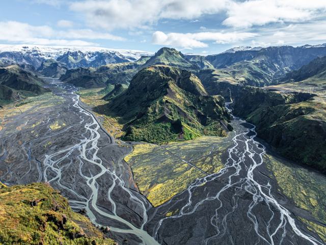
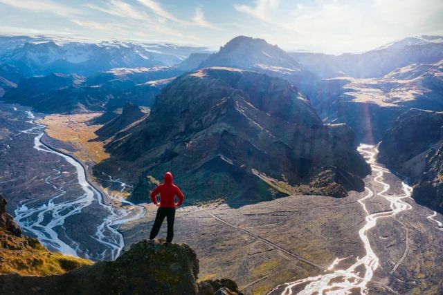
Stakkholtsgjá cuts into the mountains beside the F249 track, on the way into the Þórsmörk Nature Reserve, a highland valley sheltered by three glaciers: Eyjafjallajökull, Mýrdalsjökull and Tindfjallajökull. The gorge is about 2 km long and its walls rise to about 100 m. They are straight, tall palagonite cliffs covered in green moss, with caves, deep and narrow side ravines and ledges where plants grow.
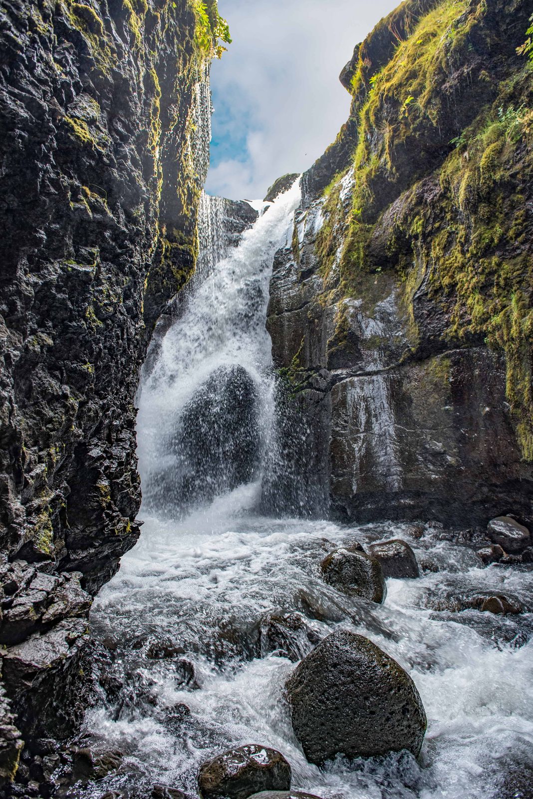
The gorge is wide at the entrance and narrows as you walk further in, ending at a waterfall that drops into a shallow pool inside a rock alcove. The walk follows the gravel floor of the gorge and crosses a small stream several times.
Getting there is part of the experience. The F249 track fords several unbridged glacial rivers on the way in, so most visitors come on a super jeep tour or a highland bus rather than in their own car.
Quick facts
RegionSouthern highlands, on the way into Þórsmörk
From ReykjavíkAbout 125 km to the Route 249 turn-off at Seljalandsfoss, then the gravel road and F249 track with river crossings
AccessF249 highland road with glacial river crossings; a 4x4 or highland bus is needed
CanyonAbout 2 km long, with walls up to about 100 m high
Hike lengthAbout 2 km each way along the canyon floor
Time needed1.5–2 hours there and back
DifficultyEasy and fairly flat, but uneven, with stream crossings on stones
EntryFree
OpeningSummer only, roughly June to September, depending on the road and river levels
How to get to Stakkholtsgjá
On a guided tourThe simplest way in. Super jeep and hiking tours to Þórsmörk often include Stakkholtsgjá as a stop, with the river crossings handled by an experienced driver.
By carFrom Reykjavík, drive the Ring Road east and turn onto Route 249 right beside Seljalandsfoss. The road soon becomes the F249 highland track, which is very bumpy and fords several unbridged glacial rivers before the canyon. You need a proper four-wheel-drive with good clearance and experience of river crossings; a small SUV is not enough. Many rental companies do not allow their cars on F249 at all, and water damage is not covered by insurance, so check your rental terms first.
By public transportHighland buses run to Þórsmörk from Reykjavík and from Route 1 in summer and ford the rivers safely. The canyon is beside the track on the way in, so ask the bus company which service can drop you there.
River levels change daily with glacial melt and rain, so the road can close with little warning. Do not attempt the river crossings in a standard car; check road conditions on umferdin.is before you plan a self-drive visit, or book a tour instead.
Step-by-step: the hike to the waterfall
The trail is not even, but it is close to flat and comfortable for most people, children included. Allow an hour and a half to two hours there and back.
Step 1: The canyon mouthThe walk starts at the mouth of the gorge, beside the F249 track. The entrance is wide and open, with a gravel riverbed between tall cliffs.
Step 2: Along the gravel floorFollow the riverbed into the gorge for about 2 km. Several small streams cut across the path and you cross them on stones. The water is not deep, but the rocks are slippery.
Step 3: The walls close inThe cliffs get higher and the gorge narrower the further you go. Look up for caves, side ravines and green ledges in the palagonite walls.
Step 4: The waterfallNear the end the gorge splits. The narrow branch on the left leads over a few wet rocks to the waterfall. It is damp and slippery here, and the spray is heavy, so keep cameras and phones covered.
After the canyon, most people carry on into Þórsmörk, known for its birch woods, its hiking trails and the three glaciers that surround it.
Watch children closely on the mossy and wet sections, where it is easy to slip. Stay out of the gorge in heavy rain or when the stream is running high.
Best time to visit Stakkholtsgjá
Summer (June–August)The only reliable time to reach Þórsmörk by road. Rivers are still cold and can run high after rain or warm spells, so crossings still need care. Pick a bright, dry day if you can. The gorge looks its best in sunshine and the stream is lower.
Late spring / early autumnThe highland bus service and road opening dates vary each year with snowmelt, so check before travelling in May or late September.
Outside summer the F249 is normally closed and Stakkholtsgjá is only reachable on foot as part of a longer winter hiking or ski touring trip.
Safety and practical tips
- Wear sturdy waterproof boots with good grip. The canyon floor is wet and uneven, and you cross the stream several times.
- Bring a waterproof jacket, spray and mist collect near the waterfall at the end.
- Do not cross the glacial rivers on the F249 in a standard car; use a tour or the highland bus.
- Weather and water levels change quickly in the highlands, so check road and river conditions before you go.
- Pack food and water; there is little to no service once you leave Route 1.
- Keep a close eye on children on the mossy rocks.
- Protect your camera from the heavy spray at the waterfall.
Facilities and accessibility
There are no facilities at the canyon itself. Þórsmörk has basic huts, campsites and a small shop at some of the mountain huts in summer, but nothing at Stakkholtsgjá directly.
Nearby places worth a stop
Where to stay near Stakkholtsgjá
Most visitors stay in Hvolsvöllur, along Route 1, or in Reykjavík and visit Þórsmörk as a long day trip, since accommodation inside Þórsmörk itself is limited to huts and campsites.
Stakkholtsgjá FAQ
Can I drive to Stakkholtsgjá in a normal rental car?
No. The F249 road crosses glacial rivers that ordinary cars cannot safely cross, and most rental agreements do not cover it. Use a highland bus or a guided tour.
Is there an entry fee?
No, there is no entry fee for the canyon itself.
How long is the walk?
About 2 km each way along the canyon floor. Allow 1.5–2 hours there and back, including some scrambling over rocks near the waterfall.
Is Stakkholtsgjá open in winter?
The access road is normally closed in winter. Winter visits are only realistic as part of a specialist highland trip.
Is the Stakkholtsgjá hike suitable for children?
Yes, the walk is fairly flat and most children manage it. Hold on to younger ones on the mossy rocks and at the stream crossings, where it is slippery.
Do you have to wade through water on the hike?
No. Inside the gorge you step across shallow streams on stones. The large glacial rivers are on the drive in, not on the walk.
 Iceland Travel GuideLOCAL TRAVEL AGENCY IN ICELAND
My trip
Talk to a local