Iceland Travel GuideLOCAL TRAVEL AGENCY IN ICELAND
My trip
Talk to a local
Iceland Travel GuideLOCAL TRAVEL AGENCY IN ICELAND
My trip
Talk to a local
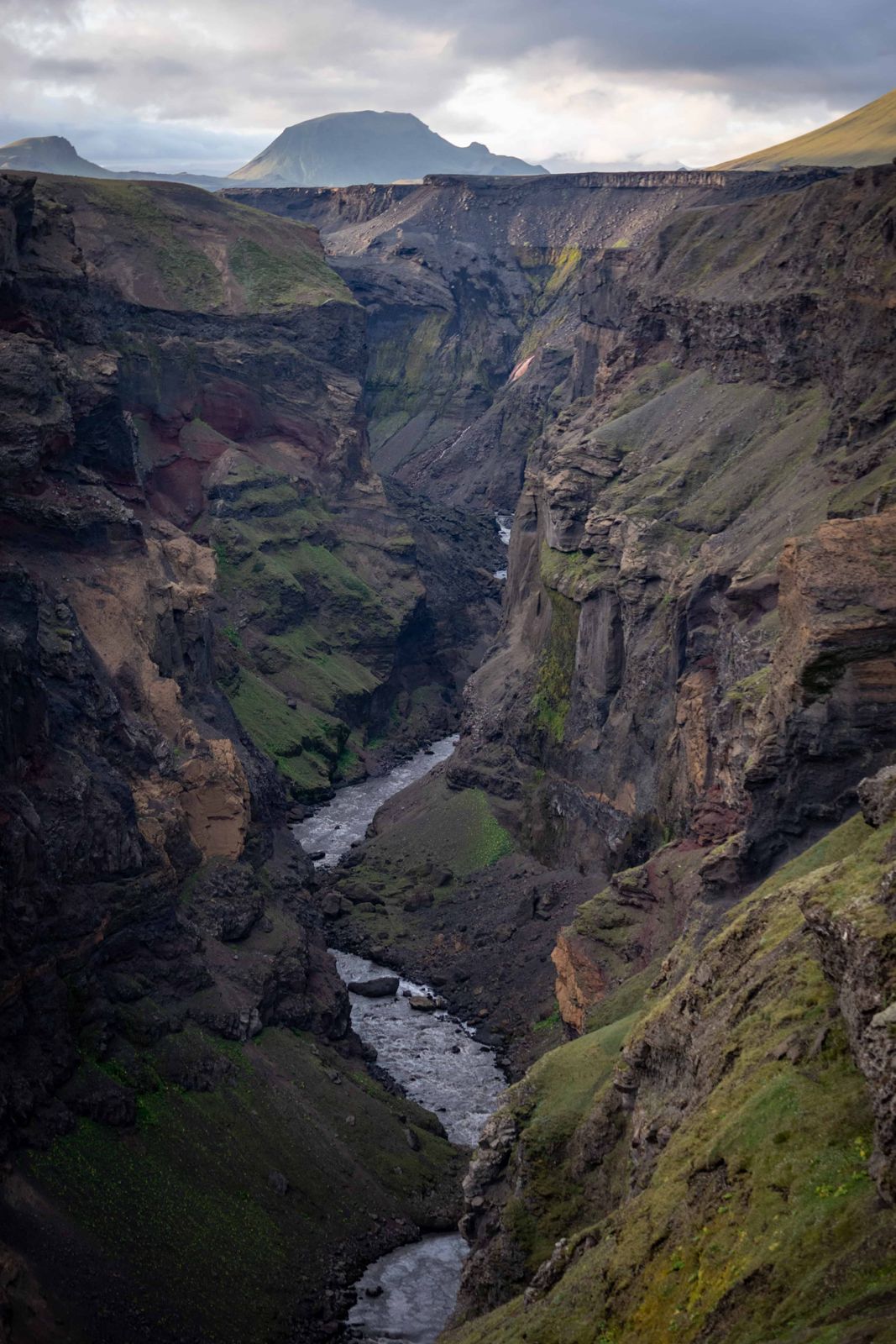
Markarfljótsgljúfur is a deep river canyon in the southern Highlands, about 200 metres deep and around 4 km long, cut by a glacial flood from Katla volcano roughly 2,000 years ago. It is free to visit and only reachable in summer: by 4x4 on the F261 mountain road or on foot from the Laugavegur trail. Allow at least an hour for the viewpoints.
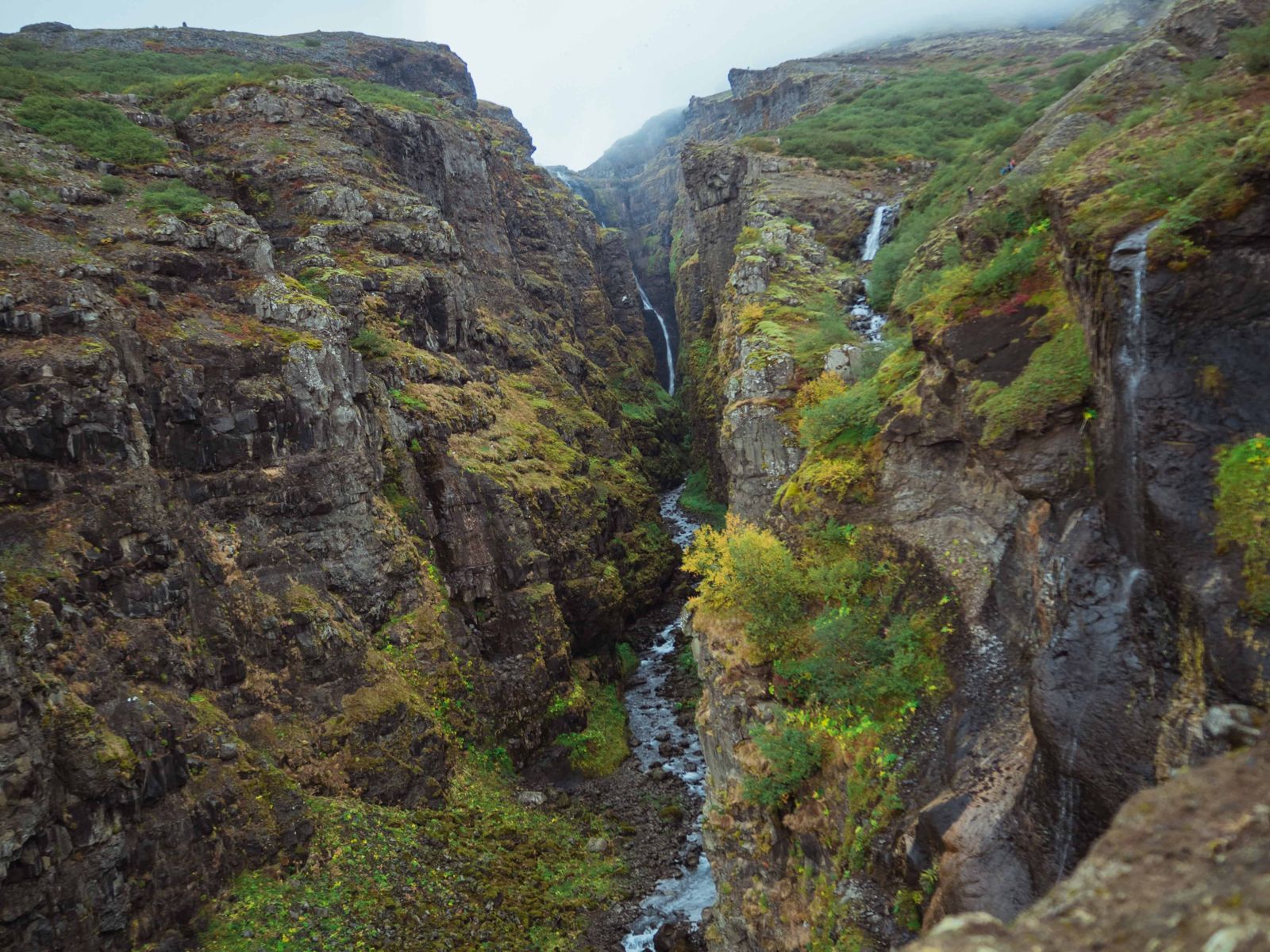
The Markarfljót river runs about 100 km from the highlands near Hrafntinnusker down to the sea on the South Coast. In the highlands it has cut a narrow canyon with steep walls of layered volcanic rock, in grey, brown and red tones. At the canyon the river is joined by the Syðri-Emstruá.
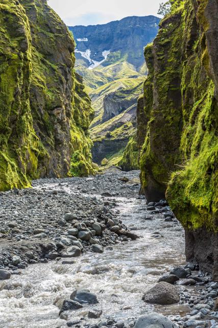
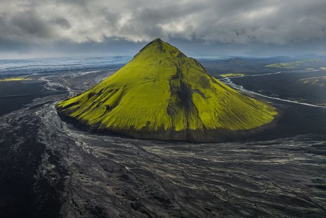
The walls are streaked with colour, and where water seeps down them bright green moss grows on the rock, a sharp contrast with the dark sands around. The most accessible stretch of the canyon is about 4 km long, and it is far quieter than the canyons along the Ring Road.
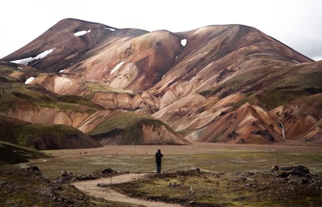
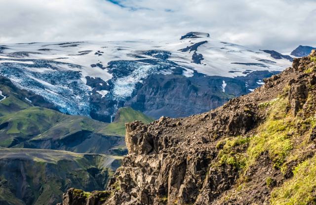
This is remote country. There are no facilities, no shops, and no mobile signal you can count on. It is a place for people who already plan to be in the Fjallabak area or walking the Laugavegur trail between Landmannalaugar and Þórsmörk, not a quick roadside stop. In return you get big views over the canyon and, on a clear day, the ice cap Mýrdalsjökull and the mountains of the interior.
Katla is one of Iceland’s most powerful volcanoes and sits under the Mýrdalsjökull glacier. When it erupts under the ice, it melts huge amounts of water very fast. Such floods, called jökulhlaup, have swept down the river valleys of the South many times.
One such flood, about 2,000 years ago, cut Markarfljótsgljúfur. Glacial meltwater still runs through the canyon today, which gives the river its milky grey colour.
Never cross highland rivers you are not sure about. Water levels rise on warm afternoons and after rain. If you rent a car, check that the rental agreement allows F-roads and river crossings. Most do not for ordinary vehicles.
The paths to the viewpoints are short and easy, but this is the highlands, so dress for more than the walk.
Summer is when locals and visitors hike here. The wind is less cold than at other times of year and the days are long. On a warm, sunny day the temperature in Iceland can reach 20 °C or a little more, but 10–15 °C is more usual, and it is cooler and windier in the highlands. It can rain on any day, so be ready for the temperature to swing.
A basic summer hiking kit: thermal base layers (top and bottom), two shirts, hiking trousers, a waterproof jacket and trousers, sunglasses, sunscreen, a hat and a water bottle. Add sturdy boots, food and a charged phone.
To the west of the canyon is the Tindfjöll range, a cluster of peaks with a small ice cap. From its slopes the view takes in Markarfljótsgljúfur, the Fjallabak highlands, Mýrdalsjökull, Eyjafjallajökull and Þórsmörk.
There are no facilities at the canyon. The nearest huts and toilets are along the Laugavegur trail, at Hvanngil and Botnar in Emstrur.
There is no lodging at the canyon. Options are the mountain huts along the Laugavegur trail, which must be booked well ahead, or hotels and guesthouses on the South Coast, around Hvolsvöllur, Hella and Vík.
About 200 metres deep and around 4 km long.
No. The F261 is a highland road that needs a 4x4 and has river crossings. Ordinary cars are not allowed on F-roads.
Only in summer, when the highland roads open, usually from late June or July into September.
Hike the Laugavegur trail and take the short detour between Hvanngil and Botnar, or join a highland tour that includes it.
No entrance fee is known. The area is open highland country.
Summer, in daylight and in clear weather, when the F261 is open. Expect 10–15 °C on a normal summer day, cooler in wind, and bring waterproofs.
Tours and trips that include Markarfljótsgljúfur, booked directly with a local travel agency in Iceland.