Iceland Travel GuideLOCAL TRAVEL AGENCY IN ICELAND
My trip
Talk to a local
Iceland Travel GuideLOCAL TRAVEL AGENCY IN ICELAND
My trip
Talk to a local
Mýrdalsjökull is Iceland's fourth largest ice cap, covering nearly 600 km² of South Iceland and hiding the active Katla volcano underneath. Its outlet glacier Sólheimajökull, the usual access point, is about 158 km (around 2 hours 15 minutes) from Reykjavík, and walking on the ice always requires a guide.
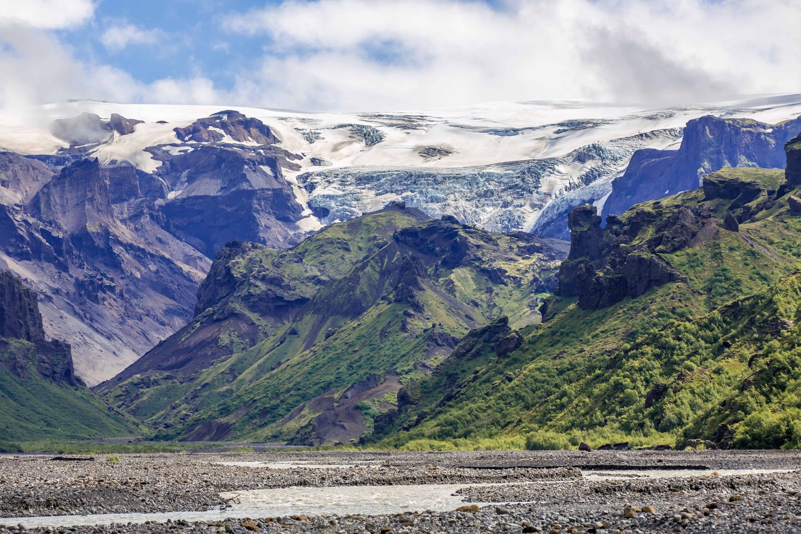
Mýrdalsjökull sits inland from Vík, a broad dome of ice covering an area of highland and, beneath it, the Katla volcanic system. Katla is one of Iceland's more powerful and closely watched volcanoes, and an eruption under the ice cap can trigger sudden glacial flooding (jökulhlaup), which is why access to parts of the area can be restricted during periods of unrest.
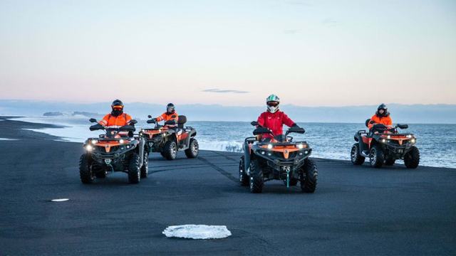
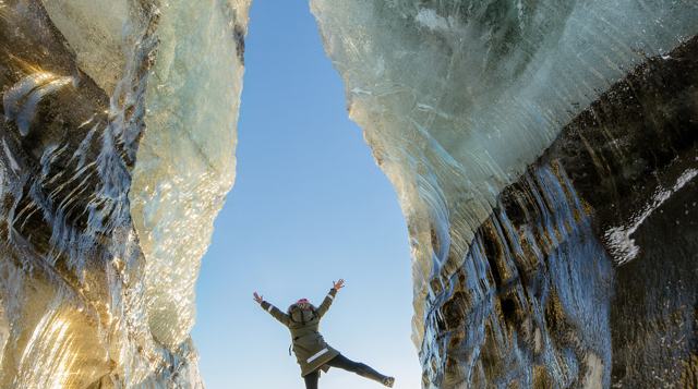
The ice cap lies north of Vík í Mýrdal and just east of the smaller Eyjafjallajökull, on the southern edge of the Highlands. Its highest point is close to 1,500 m. For anyone who wants to get onto the ice, this is one of the easiest glaciers in Iceland to reach, with ice caves, glacier hikes, ice climbing and snowmobile tours all within a short distance of the Ring Road.
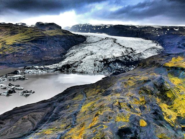
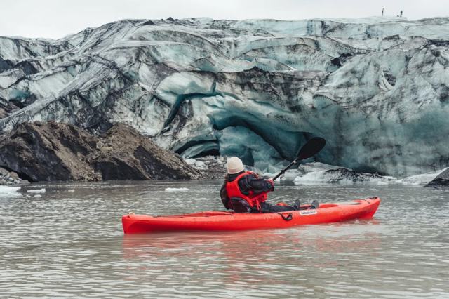
Most visitors experience Mýrdalsjökull through Sólheimajökull, one of its outlet glaciers, which tongues down towards the Ring Road and is the most accessible point for glacier walks and ice climbing. The ice here is streaked with volcanic ash from past eruptions, giving it a distinctive black-and-white striped look, and it has been retreating visibly in recent years, a change guides often point out on tours.
Never walk onto the glacier without a guide. Crevasses are often hidden under snow, and the ice surface changes constantly, even where it looks solid.
The ice cap and its outlet glaciers are popular with both Icelanders and visitors, because so much is on offer so close to the road. All of it is done with a guide.
Come prepared: warm layers, waterproofs, gloves and proper boots. Operators supply the technical equipment.
The Sólheimajökull car park has paid toilets, and a small café and souvenir shop have operated there when weather and season allow. There are no facilities on the ice cap itself beyond what tour operators provide. Fuel, food and accommodation are available in Vík and at Skógar, a short drive away.
Vík is the closest town for accommodation, with a range of hotels and guesthouses and easy access to Sólheimajökull, Reynisfjara and Skógafoss.
No. Crevasses are often hidden and conditions change constantly, so a certified guide with proper equipment is essential.
Most visitors go via Sólheimajökull, an outlet glacier reached by a short drive off the Ring Road, followed by a guided walk.
About 158 km, around 2 hours 15 minutes by car.
Yes, Katla, an active and closely monitored volcanic system. Eruptions here can cause sudden glacial flooding.
Yes, Sólheimajökull has retreated noticeably in recent years, something guides often point out during tours.
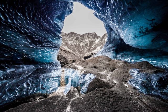
Guided glacier hikes and ice climbing on Sólheimajökull, visits to the Katla ice cave from Vík, and snowmobile tours on the ice cap.
Usually in Vík, at the Sólheimajökull car park or at a snowmobile base camp on the South Coast, all reachable in a normal car.
Nearly 600 km², which makes it Iceland's fourth largest ice cap. Its highest point is close to 1,500 m.
Tours and trips that include Mýrdalsjökull, booked directly with a local travel agency in Iceland.