Iceland Travel Guide logo Iceland Travel GuideLOCAL TRAVEL AGENCY IN ICELAND My trip Talk to a local
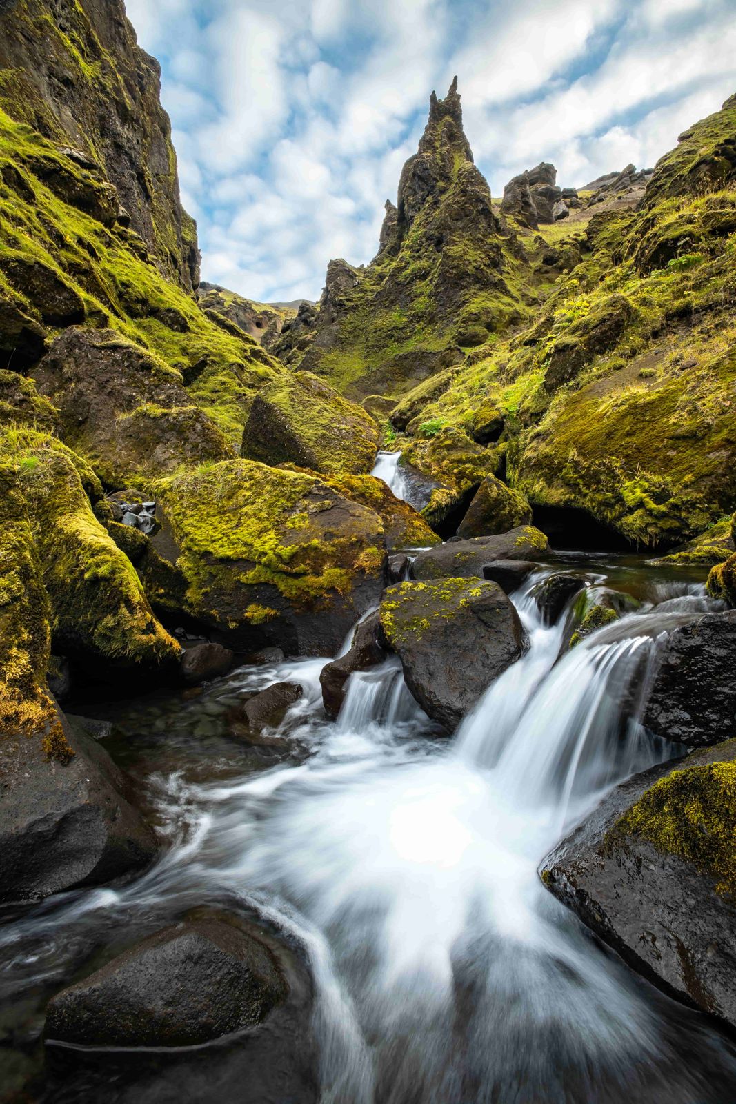
Þakgil and Rémundargil canyons

Near VíkCanyonFree entrySummer campsite
ÞAKGIL IN SHORT

Þakgil is a canyon and hiking area in the hills behind Vík í Mýrdal in South Iceland, with Rémundargil as its best-known side ravine. It is about a 40-minute drive from Vík on a rough but manageable road, free to explore, and has a seasonal campsite open from June to September.

ON THIS PAGE
Quick factsGetting thereTrailsCampingRouteBest time to visitSafety tipsFacilitiesMapNearbyWhere to stayFAQ

About Þakgil

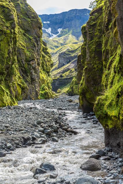
Þakgil, meaning roughly "roof ravine", is a sheltered green canyon system in the hills north-east of Vík, reached by a scenic if bumpy gravel road that climbs up from the coast. It feels far removed from the black sand beaches below, with grassy ravines, rock formations and views towards Mýrdalsjökull glacier.

Rémundargil, the ravine right next to the campsite, is the area's signature short walk, narrow and dramatic, and part of a wider network of marked trails that range from an easy half-hour stroll to a full-day hike across the moorland above. The area was also used as a filming location for Game of Thrones.

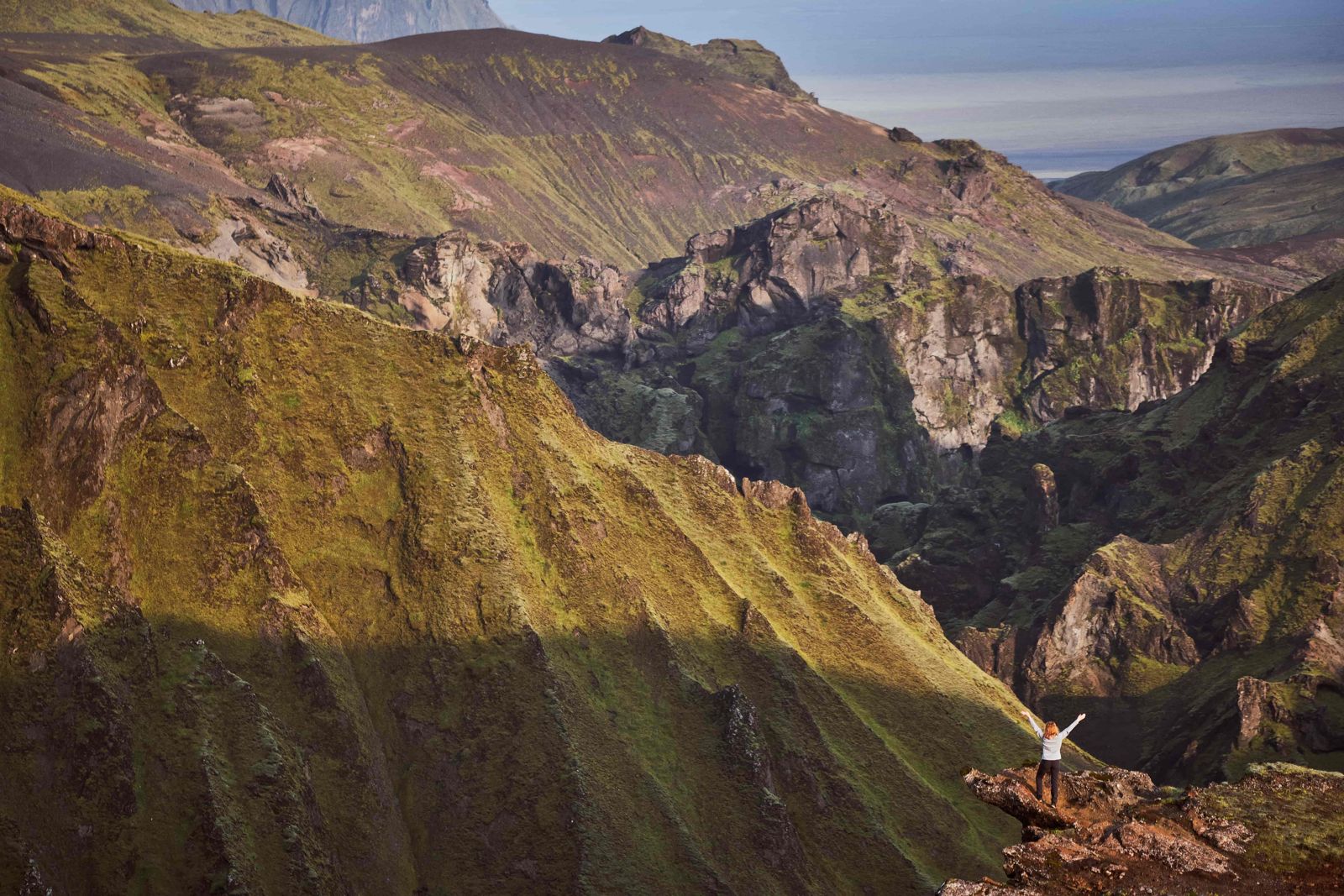
The high cliffs around the valley keep out much of the wind, so the weather at the campsite is often milder and calmer than on the coast a few kilometres away. A freshwater stream runs through the site, small cabins and tents sit on the flat valley floor, and from the higher trails you can see the Katla area, the Mýrdalsjökull ice cap and the ocean to the south in one view. Many people stay a night or two and use Þakgil as a base for walking.

Quick facts

RegionSouth Iceland, in the hills behind Vík
From VíkAbout 40 minutes by car
From ReykjavíkAbout 208 km, a little over 3 hours by car
Turn-offRoute 214, about 5 km east of Vík on the Ring Road
RoadRoute 214, about 15–16 km of gravel, rough but passable for most cars in summer if driven slowly
EntryFree to walk the trails
Campsite seasonJune to September
TrailsFrom a ravine walk of about 1 km (easy) to day hikes of 17–18 km (hard)
Time needed1 hour for a short walk, up to a full day for the longer trails

How to get to Þakgil

By carFrom Vík, head east on Route 1 past Höfðabrekka, then turn onto Route 214 (Kerlingardalsvegur) and follow it inland. The road is unpaved and rough in places but manageable for most vehicles in summer; take it slowly and stop at the viewpoints along the way.
By public transportThere is no bus service into Þakgil, so a car or a booked tour is needed.
Hiking thereOnce at the campsite, marked trails of varying length fan out into the canyons and up onto the surrounding moorland.

The access road can be more difficult after heavy rain or in poor weather; a car with reasonable ground clearance is a good idea, and a 4x4 gives extra peace of mind.

Hiking trails at Þakgil

Five marked trails cover more than 50 km in total, from an easy stroll to a demanding day hike.

The ravine walkThe easy one. It starts at the campground and follows a narrow path into the ravine, ending at a natural pool below a small waterfall. About 1 km, 15–30 minutes, suitable for most visitors.
Rémundargil ravine loopAbout 12.5 km and 3 to 5 hours, a moderate loop that gives you a proper day of hiking. From the top of the cliffs above the ravine you see the glacier on one side and the ocean to the south on the other.
AusturafrétturAbout 18 km, 5.5 to 6.5 hours, a hard full-day route with wide views of glaciers, waterfalls and ravines.

You can hike here on your own, but choose a trail that matches your fitness and the weather, and take the easier, less steep option if you are unsure. Conditions on the moorland can change quickly.

Camping at Þakgil

Þakgil has one of the more unusual campsites in Iceland, in the middle of the canyon with green cliffs on every side.

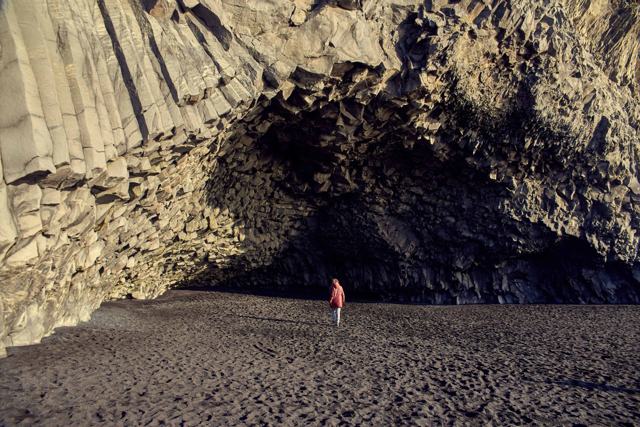
A natural cave beside the campsite is used as the dining hall, with tables, a wood-burning stove and a barbecue, which gives an evening meal here an old-fashioned feel. The site also has toilets and hot showers, and there are small cabins for those who prefer a roof.

Because the valley is so sheltered, it is a comfortable place to stay for a day or two. That gives you time for both the short ravine walk and one of the longer trails towards Mýrdalsjökull, without having to drive the gravel road twice in one day.

The campsite is seasonal, roughly June to September, and opening depends on the road and the weather.

How to get to Þakgil from Reykjavík

Þakgil is close to the South Coast, so it is easy to reach by car once you know where to turn.

Step 1: Reykjavík to VíkDrive about 180 km east on the Ring Road (Route 1) to the village of Vík, which sits at the foot of the cliffs by the black sand beach.
Step 2: The turn-off east of VíkAbout 5 km east of Vík, turn left onto Route 214 (Kerlingardalsvegur).
Step 3: The gravel roadFollow Route 214 inland for about 15 km. It is a narrow gravel road with rough sections, so allow 40 minutes or more. The whole drive from Reykjavík takes a little over three hours.
Stops on the way inThe road passes caves and odd rock formations. Stórhellir cave and the viewpoint over the Múlakvísl river and the coast are both worth a short stop.

Best time to visit Þakgil

Summer (June–August)The campsite is open and the access road is at its best; this is when most people visit.
Outside summerThe campsite closes and the road can be harder going; check conditions before attempting a visit.

Safety and practical tips

  • Take the access road slowly; it is unpaved and has some rough sections.
  • Wear proper walking shoes for any of the longer trails.
  • The campsite has a cave fitted out as a dining area with a wood-burning stove, worth seeing even if you are not staying overnight.
  • Weather can change quickly on the exposed moorland trails, so bring layers even in summer.
  • Bring hiking boots and clothes for wind and rain. The Rémundargil loop is long enough to be tiring.
  • Carry enough food and drink for the day. The nearest shops are in Vík.
  • If you have a few days, combine Þakgil with a visit to Mýrdalsjökull glacier.

Facilities and accessibility

The seasonal campsite has toilets, showers, electricity and a covered outdoor kitchen area, plus a cave used as a communal dining space with a wood-burning stove and barbecue.

On the map

Open in Google Maps →

Nearby places worth a stop

Vík í MýrdalVík í MýrdalNearest village, about 40 minutes awayReynisfjaraReynisfjaraFamous black sand beach on the coast belowMýrdalsjökullMýrdalsjökullThe glacier visible from the higher trailsHjörleifshöfðiHjörleifshöfðiHeadland and cave on the sands east of VíkDyrhólaeyDyrhólaeySea arch and bird cliffs west of VíkKatlaKatlaThe volcano under the ice cap above Þakgil

Where to stay near Þakgil

Vík has the widest choice of hotels and guesthouses nearby; Þakgil itself has a summer-only campsite with basic cabins for those wanting to stay right in the canyon.

Þakgil FAQ

How do you get to Þakgil?

By car. From Reykjavík, drive about 180 km on the Ring Road to Vík, continue about 5 km east and turn left onto Route 214, then follow the gravel road for about 15 km. From Vík it takes about 40 minutes.

Is there an entrance fee?

No, the trails are free to walk; there is a fee to use the campsite if staying overnight.

When is the campsite open?

Typically from June to September.

What is Rémundargil?

The ravine right beside the Þakgil campsite, and the starting point for several of the marked trails.

Do you need a 4x4 to drive to Þakgil?

Not usually in summer. Route 214 is a rough gravel road but not a mountain F-road, and most cars manage it if driven slowly. A 4x4 or a car with good ground clearance is more comfortable, especially after rain.

How long is the Rémundargil hike?

The Rémundargil ravine loop is about 12.5 km and takes 3 to 5 hours. The short ravine walk from the campsite is about 1 km.

What facilities does the Þakgil campsite have?

Toilets, hot showers, small cabins and a natural cave used as a dining hall with a stove and barbecue.
More places in South Iceland