Iceland Travel GuideLOCAL TRAVEL AGENCY IN ICELAND
My trip
Talk to a local
Iceland Travel GuideLOCAL TRAVEL AGENCY IN ICELAND
My trip
Talk to a local
Sjónarnípa is a viewing point high above Skaftafellsjökull glacier in Skaftafell, part of Vatnajökull National Park in Southeast Iceland. You reach it on a marked hike from the Skaftafellsstofa visitor centre: 6.5 km on trail S5, or 7.1 km on trail S6 if you add Svartifoss waterfall. Allow 2 to 3 hours. Skaftafell is about 330 km (around 4 hours) from Reykjavík; hiking is free, but there is a parking fee.
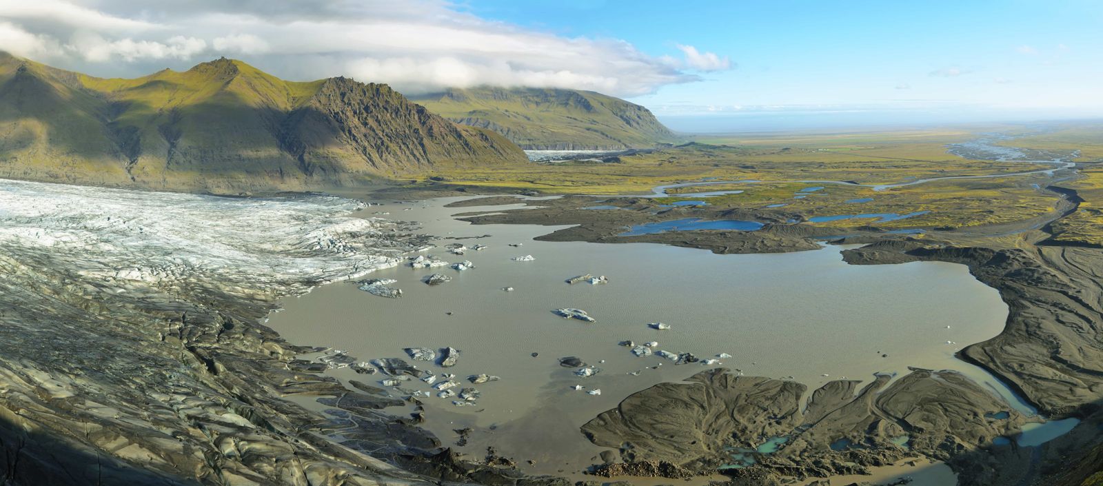
Sjónarnípa is a rocky ledge on the eastern edge of Skaftafellsheiði, the heath above the Skaftafell visitor centre. From it you look straight down onto Skaftafellsjökull, an outlet glacier of Vatnajökull, with the peaks of Kristínartindar, Hrútsfjallstindar and, on a clear day, the ice cap of Öræfajökull behind it. It is one of the best glacier views in the park that does not need a guided glacier walk.
Skaftafell is one of the most popular parts of Vatnajökull National Park, and for good reason. In a small area you find glacier tongues, birch woods, waterfalls, sharp mountain ridges and the black sands of Skeiðarársandur. The marked trails range from flat walks of an hour to full-day mountain routes, and there is a large campsite beside the visitor centre.
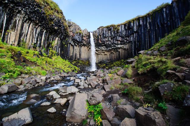
In our opinion Sjónarnípa is the best viewing point in Skaftafell, and the hike up is half the fun. Most people combine it with Svartifoss, the waterfall framed by dark basalt columns, on a signposted loop of 7.1 km. You can also walk the shorter Sjónarnípa loop on its own.
The hike is at its best in summer. In winter and spring it is harder: there can be snow and ice on the upper part, and during the thaw the path turns to mud.
The path climbs steadily and can be muddy or icy depending on the season, so allow more time than the distance alone suggests and wear proper hiking footwear.
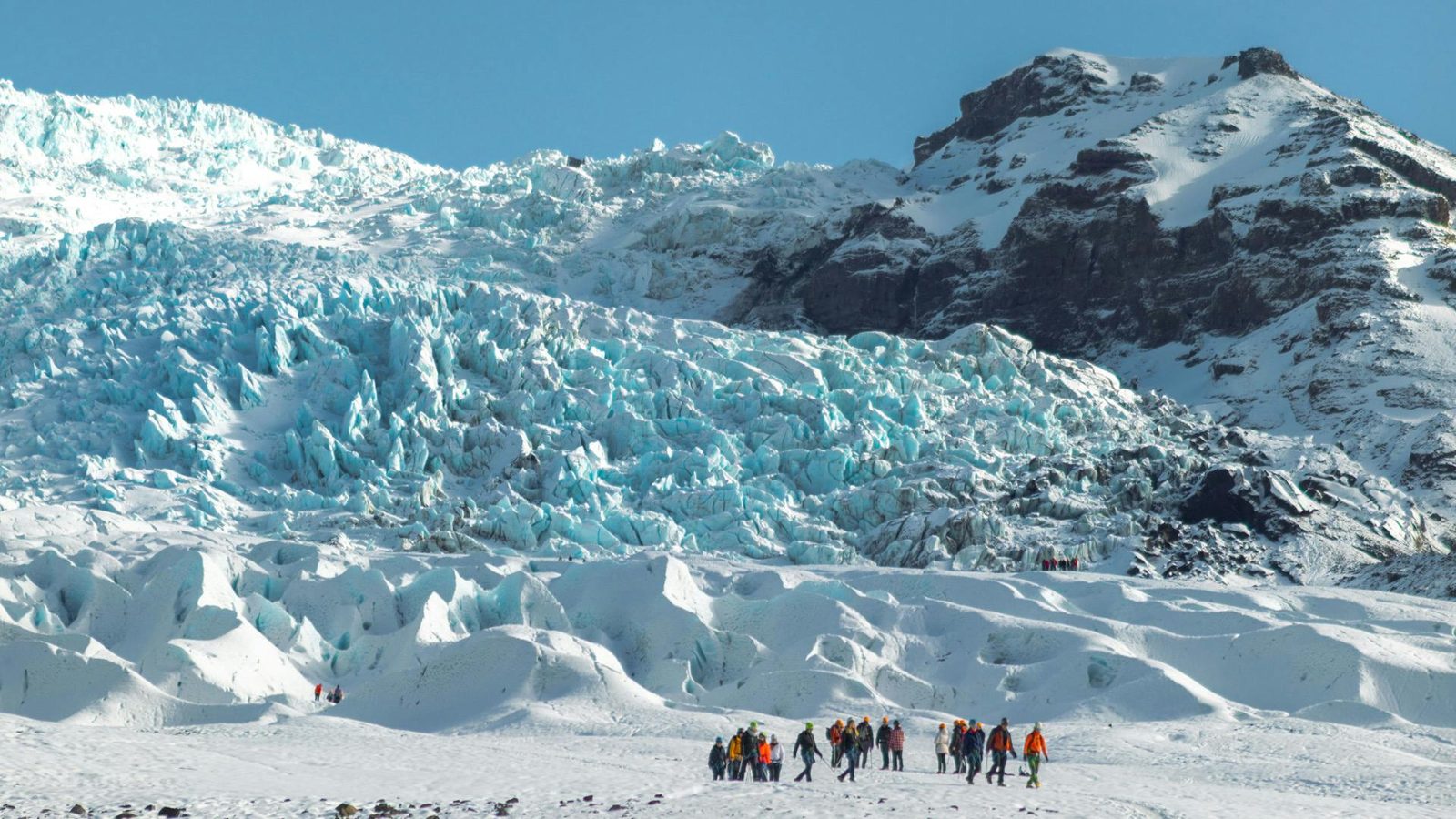
The viewpoint sits about 300 metres above the visitor centre. The ground drops away in front of you to Skaftafellsjökull, and you can follow the whole lower glacier with your eye: the crevasses, the dark bands of ash and gravel in the ice, and the grey lagoon where the glacier ends.
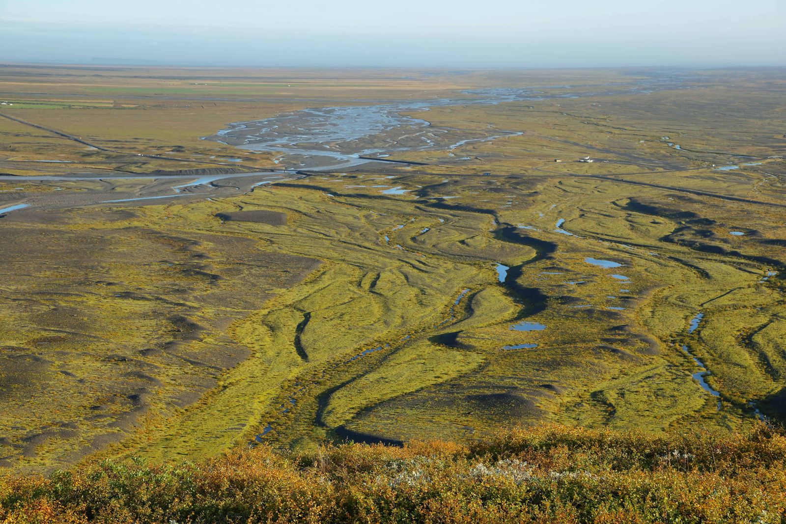
Beyond the glacier are the mountains of Hafrafell and Hrútsfjallstindar, and above them the white dome of Öræfajökull. To the north are the jagged tops of Kristínartindar. Turn south and the view runs out over Skeiðarársandur, a huge plain of black sand and braided rivers that reaches all the way to the sea.
It is a strong spot for photographs. Morning and evening light show the texture of the ice best. The ledge is exposed and has no railings, so keep back from the edge, particularly in wind.
Trail S5 is the shortest way to the viewpoint: a 6.5 km loop that takes 2 to 2.5 hours. The trails in Skaftafell are well marked and the signs are clear, so you do not need to buy a hiking map.
The national park grades this trail as challenging. That reflects the 320 metres of climb, not difficult ground. Anyone used to walking uphill for an hour will manage it.
If you have the time, take the round route by Svartifoss. It is only a little longer, 7.1 km and 2.5 to 3 hours, and you see the waterfall and the glacier on one walk.
In spring and early summer the birch woods and heath are full of nesting birds. Stay on the path and give them room.
If you want an even better view, keep going. Trail S3 continues north from Sjónarnípa along the edge above the glacier and loops around Skaftafellsheiði. The full loop is 16.6 km and takes 5 to 6 hours, with a new angle on the glacier and the mountains at every turn.
Strong hikers can add the summit of Kristínartindar on trail S4, about 18 km and 6 to 8 hours in total. This route is usually closed from early spring, sometimes through June, while the ground thaws. Ask at the visitor centre before you set off on either of the long trails.
The Skaftafellsstofa visitor centre is open all year (9:00–19:00 in June to August, with shorter hours the rest of the year). It has information staff, displays about the nature of the area and a small souvenir shop. Toilets are at the campsite next door, which has pitches for tents, campervans and caravans that cannot be reserved in advance. There is a café nearby in the Skaftafell area. There are no facilities on the trail.
Guesthouses, hotels and the national park campsite around Skaftafell make it an easy base for a day or two of hiking in the area.
The national park grades it challenging because it climbs about 320 metres. The path is clear, well marked and not technical. It takes 2 to 2.5 hours on trail S5, or 2.5 to 3 hours on trail S6 via Svartifoss.
Yes. Trail S6 is a signposted 7.1 km loop from the visitor centre that goes to Svartifoss first, then across the heath to Sjónarnípa and back down.
Drive the Ring Road to Skaftafell, turn onto Route 998 and park at the Skaftafellsstofa visitor centre. All trails start there and the way to Sjónarnípa is signposted.
Skaftafellsjökull, an outlet glacier of Vatnajökull, with its small lagoon at the snout. You also see Öræfajökull, Kristínartindar and the black sands of Skeiðarársandur.
Hiking is free. You pay the Skaftafell area fee for your vehicle, ISK 1,110 for a normal passenger car, which is valid until midnight.
No. The trails are well marked and signposted from the visitor centre, and there are no guided tours to the viewpoint. Staff at the visitor centre can explain the route.
Often yes, but expect snow and ice on the upper part and short daylight. Ask at the visitor centre about conditions and carry ice grips.