Iceland Travel GuideLOCAL TRAVEL AGENCY IN ICELAND
My trip
Talk to a local
Iceland Travel GuideLOCAL TRAVEL AGENCY IN ICELAND
My trip
Talk to a local
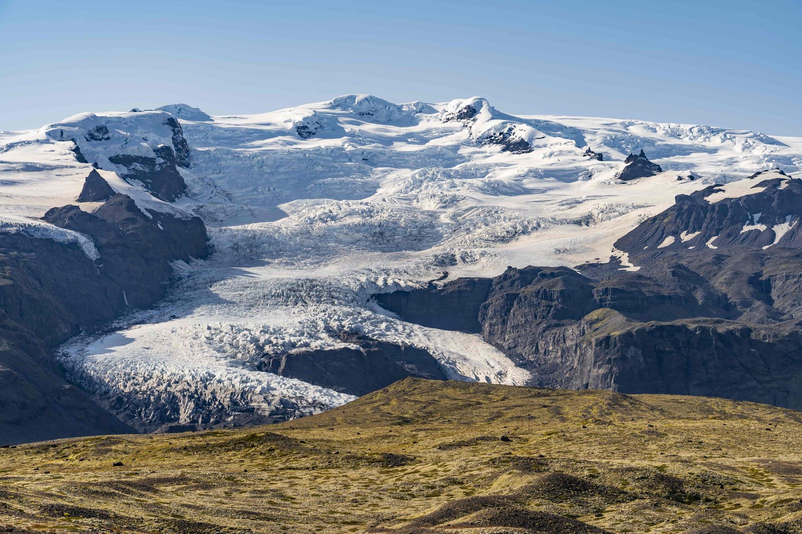
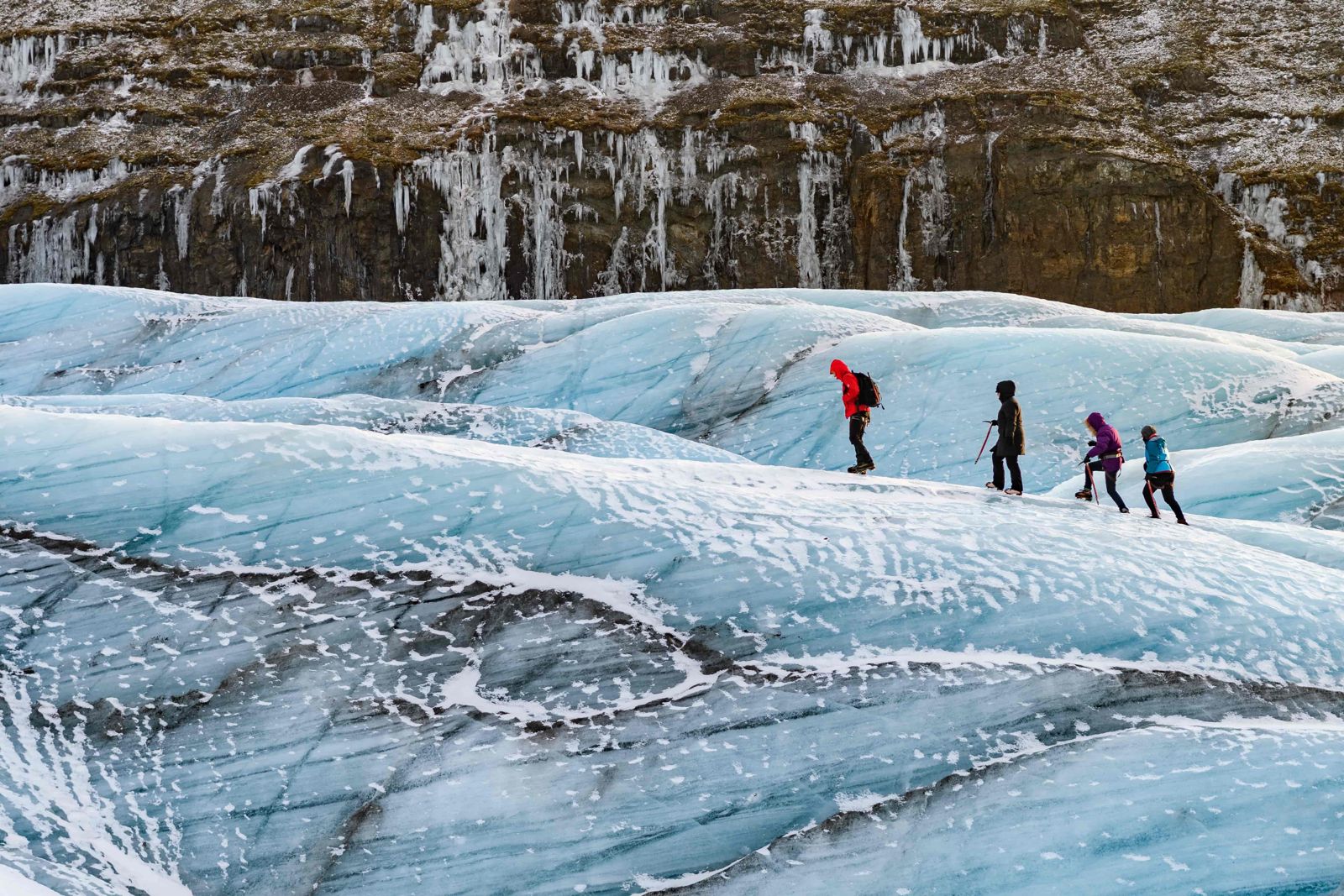
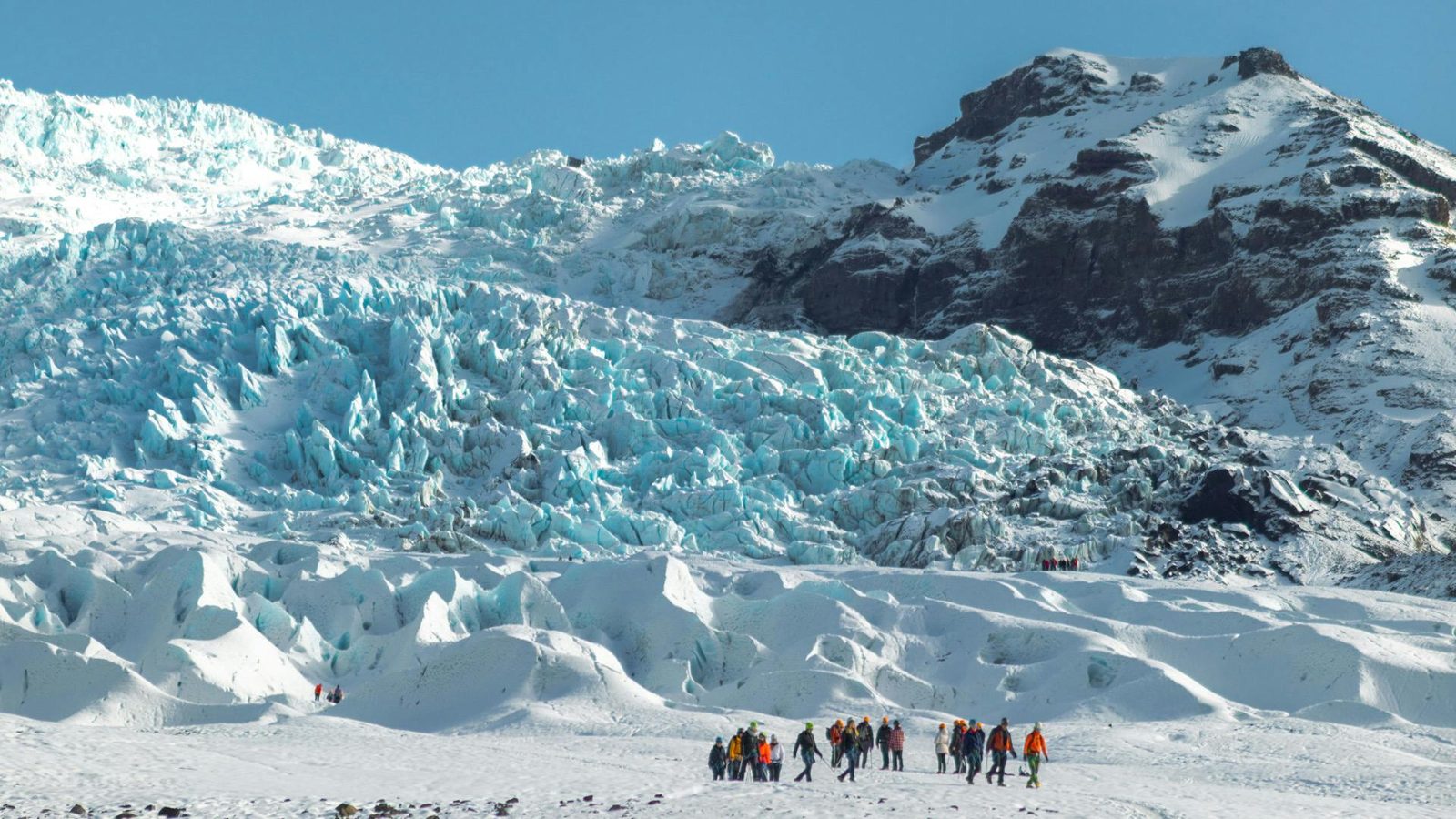
Vatnajökull is Iceland's largest glacier and, by volume, the largest ice cap in Europe, covering around 7,700 km², about 8% of the country. Its outlet glaciers reach down towards the Ring Road in the southeast, near Jökulsárlón and Skaftafell, about 330–380 km (4.5–5.5 hours) from Reykjavík. You cannot walk on the ice without a guide, but glacier hikes and, in winter, ice cave tours run daily from bases near Skaftafell and Jökulsárlón.
Vatnajökull covers an area larger than all the glaciers in mainland Europe combined, with an average ice thickness of about 380 metres and a maximum of nearly 1,000 metres in places. Underneath it lie several active volcanic systems, including Grímsvötn and Bárðarbunga, whose heat melts channels through the ice and occasionally triggers sudden floods known as jökulhlaup when meltwater bursts out from under the glacier.
The name means “Water Glacier” or “glacier of lakes”. The ice cap has around 30 named outlet glaciers and is the heart of Vatnajökull National Park, which was founded in 2008. Older guides give its area as about 8,100 km²; it has shrunk since, and current figures are closer to 7,700 km².
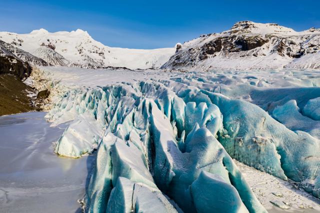
From the Ring Road, you see Vatnajökull as a series of outlet glaciers, long tongues of ice that flow down from the main ice cap into the valleys below. Skaftafellsjökull, Svínafellsjökull and Falljökull are among the most visited, all reachable on short walks from parking areas, though walking onto the ice itself always needs a guide because of hidden crevasses.
Vatnajökull is retreating, like most of the world's glaciers, and outlet glaciers such as Svínafellsjökull have visibly thinned and pulled back within a couple of decades. Guides who have worked the same glacier for years are often the best source of how much a particular tongue has changed.
Vatnajökull sits over some of the most active parts of Iceland's volcanic system. Grímsvötn, hidden under the ice, is one of the country's most frequently erupting volcanoes, and its eruptions can send ash through the ice or trigger jökulhlaup, floods of meltwater and ice that surge down rivers such as Skeiðará. The 1996 Gjálp eruption released one of the largest such floods in living memory, destroying sections of the Ring Road and a bridge that had to be rebuilt.
Three volcanoes under the ice stand out: Grímsvötn, Bárðarbunga and Öræfajökull, the last of which carries Hvannadalshnjúkur on its rim. More eruptions are certain, though nobody can say when. A large one can affect far more than the area around the glacier, disrupting air travel and farming and, in the biggest cases, the weather well beyond Iceland.
This restless ground beneath the ice is part of why guides take glacier safety seriously. Crevasses can be hidden by fresh snow, and geothermal heat can thin the ice unpredictably in places, which is why solo access onto Vatnajökull is not allowed.
Never approach the ice without a guide. Crevasses are often invisible from the surface, and rescue from the glacier is difficult.
Outlet glaciers are tongues of ice that flow out from the ice cap and are held in by the valley sides. Vatnajökull has them on every side, and each one feeds a river.
The easiest access to the glacier is from the south, where the outlet glaciers come down almost to the Ring Road.
Every activity on the ice needs a guide. The viewpoints, lagoons and walks to the glacier edges are free to visit on your own.
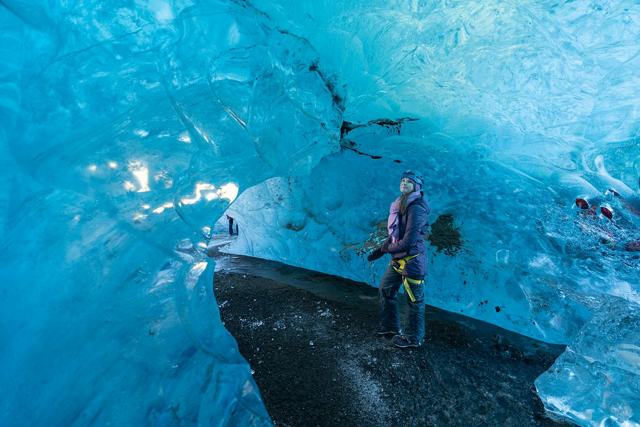
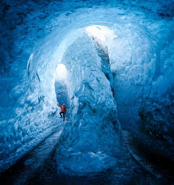
Natural ice caves are unpredictable and change every year, so tour operators only confirm access once conditions are checked each season.
There are no facilities directly at the glacier edge. Toilets, cafés and shops are at the Skaftafell visitor centre and around Jökulsárlón. Tour operators typically meet clients at car parks near the glacier.
Kirkjubæjarklaustur, Skaftafell and Höfn all have hotels and guesthouses within reach of glacier tour meeting points, so you can start a hike early rather than driving in from further away.
No. Hidden crevasses make it unsafe, and guided glacier hikes are the only recommended way onto the ice.
About 7,700 km², roughly 8% of Iceland's land area, making it the largest ice cap in Europe by volume.
Natural blue ice caves are mainly a winter activity (November–March). Some man-made ice tunnels, for example on Langjökull, run year-round, but that is a different glacier.
Yes, like most glaciers worldwide it has been retreating, and some outlet glaciers have thinned noticeably over the past two decades.
By volume, yes. It is also by far the largest glacier in Iceland. A few Arctic ice caps, on Svalbard and Novaya Zemlya, cover a slightly larger area.
Around Kirkjubæjarklaustur, about 255 km along the Ring Road. From there to Höfn the ice cap and its outlet glaciers are in view for much of the drive.
Tours and trips that include Vatnajökull, booked directly with a local travel agency in Iceland.
 DAY TOURCrystal Ice Cave in IcelandFrom 19,330 ISK per person
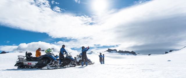 DAY TOURSnowmobile on VatnajokullFrom 31,500 ISK per person
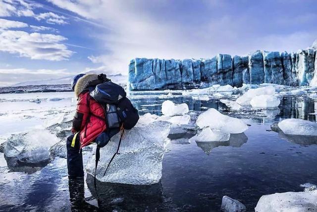 DAY TOURVatnajokull Ice CaveFrom 36,900 ISK per person
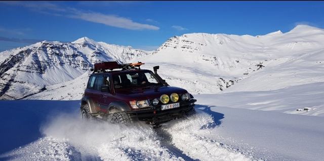 DAY TOURVatnajökull Super Jeep TourFrom 62,000 ISK per person
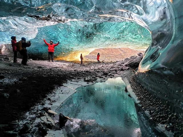 DAY TOURVatnajokull Ice CaveFrom 23,900 ISK per person
 DAY TOUREarly Bird Ice Cave Tour in Vatnajokull + Pro Photo PackageFrom 21,500 ISK per person