Iceland Travel Guide logo Iceland Travel GuideLOCAL TRAVEL AGENCY IN ICELAND My trip Talk to a local
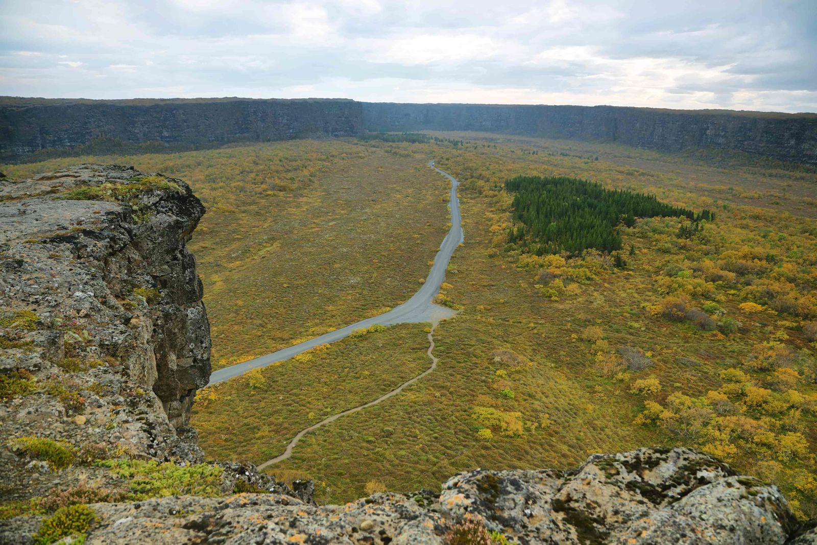
Ásbyrgi canyon

Diamond CircleCanyonFree entryOpen all year
ÁSBYRGI IN SHORT

Ásbyrgi is a horseshoe-shaped canyon in North Iceland, part of Vatnajökull National Park and a stop on the Diamond Circle route. It is free to enter, open all year, and most people spend 1–2 hours walking in from the car park to the pond at the canyon's head.

ON THIS PAGE
Quick factsHistoryGetting thereHikingCampingBest time to visitSafety tipsFacilitiesMapNearbyWhere to stayFAQ

About Ásbyrgi

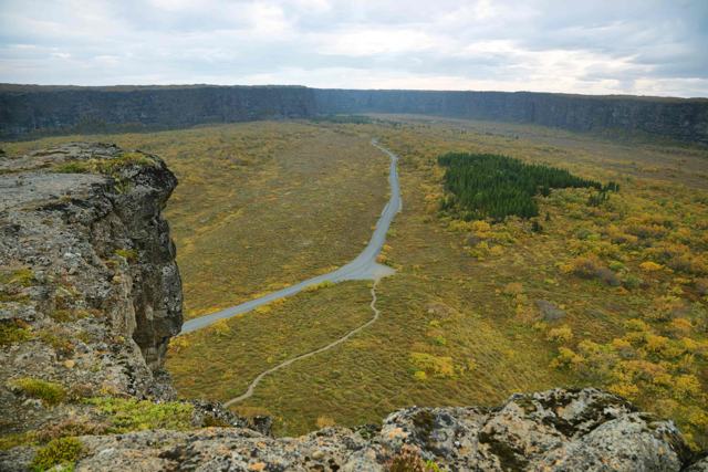
Ásbyrgi is around 3.5 km long and up to 1.1 km wide, with cliff walls reaching up to 100 metres in places. Seen from above it forms a clear horseshoe, split down the middle by a rock formation called Eyjan ("the Island"). Inside, sheltered from the wind, a birch and willow forest has grown up that feels different from the open moorland around it.

The canyon was carved by catastrophic glacial flood water thousands of years ago, when meltwater from under the ice cap burst out and tore through the bedrock in a matter of days. That violent, sudden origin is part of what makes the shape so dramatic. At the head of the canyon, a small pond, Botnstjörn, sits below the cliffs and is a good spot to see the scale of the walls reflected in still water.

Geologists believe the floods came from under Vatnajökull along the river Jökulsá á Fjöllum on at least two occasions, roughly 8–10 thousand and 3 thousand years ago. The river has since moved east, leaving the canyon dry. The rock the water cut through is older lava that flowed from the Stóravíti crater 10–12 thousand years ago.

Ásbyrgi is rich in plants and birds. Fulmars nest on ledges in the cliffs, wigeon and other ducks use Botnstjörn, and the birch wood is full of small birds in summer. North-east of the canyon lies another lake, Ástjörn, which the Áshöfði trails pass.

Quick facts

LengthAbout 3.5 km
WidthUp to about 1.1 km
Cliff heightUp to about 100 m
RegionNorth Iceland, on the Diamond Circle route
From HúsavíkAbout 60 km east on Route 85, under an hour by car
From AkureyriAbout 2 hours by car
ProtectedPart of Vatnajökull National Park (Jökulsárgljúfur area)
EntryFree
FacilitiesVisitor centre, campsite and shop at the entrance
Time needed1–2 hours for the main walk to Botnstjörn
ParkingFree

The footprint of Sleipnir

One story says Ásbyrgi was made by a hoofprint of Sleipnir, the eight-legged horse of the Norse god Odin, when his hoof touched the ground here. It is a folk explanation for a shape so regular it looks deliberate. The scientific story is no less dramatic: the canyon was cut by huge glacial flood outbursts from under Vatnajökull, one of several such floods that shaped this whole valley, known today as Jökulsárgljúfur.

There is a second story too. Ásbyrgi is said by some to be the capital of the hidden people, the huldufólk, who live in the cliffs. Walk in on a quiet evening, with the walls closing around the wood, and it is easy to understand why.

How to get to Ásbyrgi

By carÁsbyrgi is just off Route 85 in North Iceland, about 60 km east of Húsavík and a short detour from the Diamond Circle route that also takes in Dettifoss. The approach road and car park are paved and open all year. From Reykjavík it is well over 500 km and more than six hours of driving without stops, so Ásbyrgi belongs on a multi-day North Iceland or Ring Road trip, not a day out from the capital.
On a guided tourÁsbyrgi is usually visited as part of a Diamond Circle day tour from Akureyri or Húsavík, or as a stop on a longer Ring Road itinerary.
By airAkureyri has the nearest airport with regular scheduled flights from Reykjavík, about two hours' drive from Ásbyrgi. Húsavík has a small airport closer by, but scheduled flights there have come and gone, so check before you plan around it.
By public transportThere is no regular scheduled bus directly to Ásbyrgi, so a rental car or a tour is the practical way to get there.

The gravel road further into Jökulsárgljúfur towards Dettifoss and Hljóðaklettar can be rough; check conditions locally if you plan to continue north from Ásbyrgi.

Hiking paths at Ásbyrgi

The national park marks a set of trails here, from a 30-minute stroll to full-day circuits. Distances and times are the park's own.

Botnstjörn (Á1): 1 km, 30 minutesThe walk most visitors do. An easy path from the innermost car park leads through birch wood to the pond at the head of the canyon, under 100-metre cliffs. In spring and after heavy rain a waterfall drops into the pond. Suitable for people with limited mobility.
Eyjan (Á2): 4.5 km, 1.5–2 hoursAn easy walk from the campsite up onto Eyjan, the rock island in the middle of the canyon, and out to its tip for a view over the whole horseshoe.
Skógarstígur (Á3): 4 km, 1–2 hoursThe forest path. It runs through the wood on the canyon floor between the visitor centre and Botnstjörn, a good choice if you would rather walk in than drive.
Underneath Eyjan (Á4): 3.5 km, 1–1.5 hoursAn easy loop along the foot of the Eyjan cliffs.
Áshöfði (Á5 and Á6): 7–7.5 km, 2–3 hoursTwo more demanding routes, one around and one across the hill Áshöfði, with views of Ástjörn lake and the river Jökulsá á Fjöllum.
Klappir (Á7): 9 km, 2.5–3 hoursClimbs to the rim and follows it to Klappir, above the head of the canyon, for the best view straight down into Ásbyrgi. Steep in places and unfenced.
Kúahvammur and Kvíar (Á8, Á9): 12–17 km, 4–7 hoursLong circuits that carry on from the rim to the edge of the Jökulsárgljúfur canyon and back. For fit walkers with a full day.
Ásbyrgi to Dettifoss: 32 km, 2 daysThe classic Jökulsárgljúfur trail runs south along the canyon through Vesturdalur and Hólmatungur to Dettifoss. A challenging two-day hike with camping on the way.

Further south in the same part of the park, the trails at Vesturdalur lead through the Hljóðaklettar rock formations to the red Rauðhólar craters, and Hólmatungur is known for its springs and green vegetation. Both are separate stops by car, not walks from the Ásbyrgi car park.

Stay on marked trails. The forest floor is fragile and the cliff edges are unfenced in places. Pack proper gear and expect the weather to change during a long walk.

Camping at Ásbyrgi

Camping is the best way to see Ásbyrgi when the day visitors have gone. The national park runs a large campsite near the mouth of the canyon, beside the Gljúfrastofa visitor centre, with pitches for tents, campervans and motorhomes. It has showers for men and women and a washing machine and tumble dryer.

The site is busy in July and early August, so arrive early in the day or book ahead if the park offers booking for your dates. Check the Vatnajökull National Park website for the season's opening dates and prices.

Best time to visit Ásbyrgi

Summer (June–August)Full green forest, long daylight and the easiest walking conditions. The busiest season.
Autumn (September–October)Birch leaves turn yellow, and there are fewer visitors than summer.
Winter (November–March)Snow and short days make the rim trails harder; the lower Botnstjörn walk is still usually manageable in good boots.

Safety and practical tips

  • Wear proper walking shoes. The forest floor can be muddy and the rim paths are steep and rocky in places.
  • Bring a picnic. There are no restaurants inside the canyon, only a small shop at the visitor centre.
  • Midges can be bothersome near Botnstjörn on still summer evenings.
  • Check road conditions before continuing further into Jökulsárgljúfur towards Dettifoss.
  • In June to August, plan ahead. Accommodation, the campsite and tours in this corner of Iceland fill up quickly.
  • Pick up the trail map at the Gljúfrastofa visitor centre before a longer walk.

Facilities and accessibility

A visitor centre with information and a small shop sits at the entrance, along with a campsite. The Gljúfrastofa visitor centre is open 10:00–17:00 daily in May, and the toilets are inside it during opening hours. There is no café or restaurant inside the canyon itself.

On the map

Open in Google Maps →

Nearby places worth a stop

DettifossDettifossIceland's most powerful waterfallHafragilsfossHafragilsfossWaterfall further down the same canyonHljóðaklettarHljóðaklettarUnusual basalt rock formationsHúsavíkHúsavíkWhale-watching harbour townMývatnMývatnLake and geothermal area further south

Where to stay near Ásbyrgi

Húsavík and Akureyri are the main towns for accommodation nearby. In summer the national park campsite at Ásbyrgi itself has showers and laundry facilities.

Ásbyrgi FAQ

Is Ásbyrgi free to visit?

Yes, there is no entrance or parking fee.

How long does it take to see Ásbyrgi?

The main walk to Botnstjörn and back takes about 1–2 hours. Add more time for the rim trails.

Is Ásbyrgi part of Vatnajökull National Park?

Yes, it is part of the Jökulsárgljúfur section of the park, along with Dettifoss and Hljóðaklettar.

Can you visit Ásbyrgi in winter?

Yes, the road and car park stay open, though the higher rim trails are harder in snow and ice.

How was Ásbyrgi formed?

By huge glacial outburst floods from under Vatnajökull, on at least two occasions about 8–10 thousand and 3 thousand years ago. Folklore says it is the hoofprint of Odin's horse Sleipnir.

What are the best hikes at Ásbyrgi?

The 1 km walk to Botnstjörn pond for a short visit, the 4.5 km Eyjan trail for a view of the horseshoe, and the 9 km Klappir trail on the rim for a half-day hike.

Can you camp at Ásbyrgi?

Yes. The national park runs a large campsite by the visitor centre with showers and laundry facilities.

How far is Ásbyrgi from Húsavík?

About 60 km east along Route 85, under an hour by car.

See Ásbyrgi with a local

Tours and trips that include Ásbyrgi, booked directly with a local travel agency in Iceland.
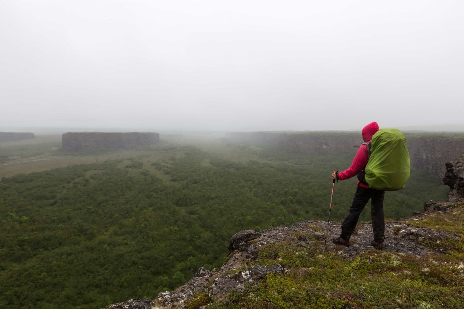
Diamond Circle Tour with Lake Myvatn & Asbyrgi Canyon from AkureyriDAY TOURDiamond Circle Tour with Lake Myvatn & Asbyrgi Canyon from AkureyriFrom 39,900 ISK per personDiamond Circle & Geo SeaDAY TOURDiamond Circle & Geo SeaFrom 38,900 ISK per personDiamond CircleSHORE EXCURSIONDiamond CircleFrom 24,990 ISK per person
More places in North Iceland