Iceland Travel Guide logo Iceland Travel GuideLOCAL TRAVEL AGENCY IN ICELAND My trip Talk to a local
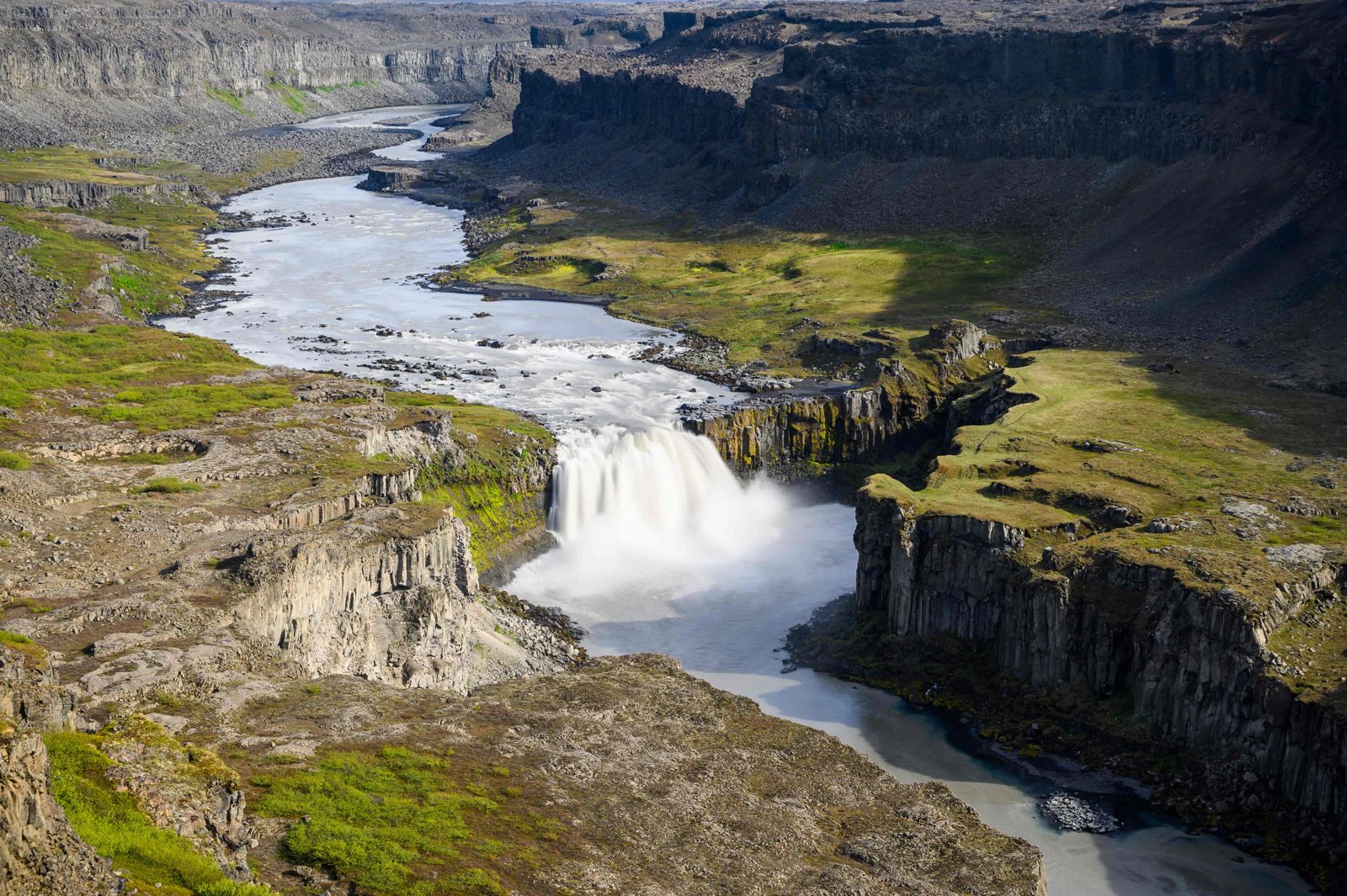
Hafragilsfoss waterfall

Diamond CircleWaterfallFree entryGravel road
HAFRAGILSFOSS IN SHORT

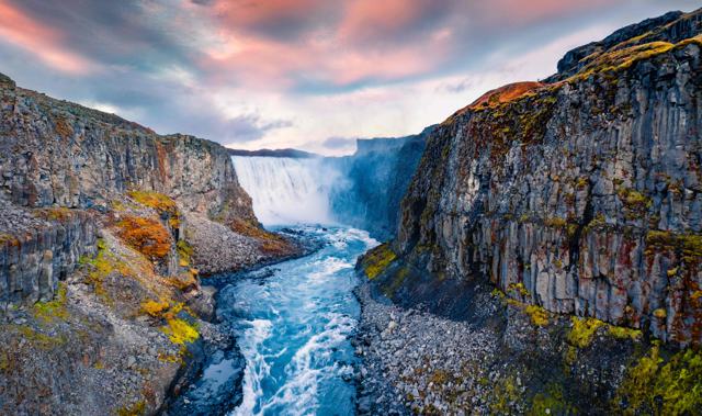
Hafragilsfoss is a 27-metre waterfall on the glacial river Jökulsá á Fjöllum, about 2.5 km downstream from Dettifoss in the Jökulsárgljúfur canyon, part of Vatnajökull National Park in North Iceland. It is free to visit, and the easiest viewpoint is on the east rim, off gravel Road 864, which is usually closed in winter. Most people spend 20–30 minutes at the viewpoint.

ON THIS PAGE
Quick factsGetting thereNearby placesBest time to visitSafety tipsFacilitiesMapNearbyWhere to stayFAQ

About Hafragilsfoss

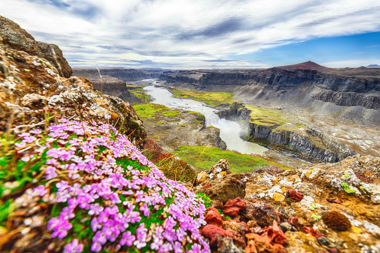
Hafragilsfoss sits inside the dramatic Jökulsárgljúfur canyon, cut by the same powerful glacial river that forms Dettifoss and Selfoss upstream. The falls drop about 27 metres over a wide ledge, with the canyon walls rising steeply on either side, giving a real sense of the scale of the gorge here.

It is the third of the three big falls on this stretch of river, after Selfoss and Dettifoss. The river is about 90 metres wide where it goes over the edge, and you notice it before you see it: a low, muffled thunder and mist rising out of the gorge. The water is grey-brown with glacial silt. Jökulsá á Fjöllum is Iceland's second-longest river. It starts under the Vatnajökull ice cap and runs north through the canyon to the Arctic Ocean.

Compared with Dettifoss, Hafragilsfoss sees far fewer visitors, even though it is only a short drive away. The main viewpoint is on the east rim. It looks down into the canyon and along the river to the falls, and it is often included as a quieter stop on the way to or from Dettifoss and Ásbyrgi as part of the Diamond Circle route.

Quick facts

HeightAbout 27 m
WidthAbout 91 m
RiverJökulsá á Fjöllum
RegionNorth Iceland, Jökulsárgljúfur canyon, Vatnajökull National Park
From DettifossAbout 2.5 km downstream; around 10 minutes' drive north of the Dettifoss east car park
RoadRoad 864 (gravel), about 32 km from the Ring Road to the turn-off
From AkureyriAround 2 hours by car
EntryFree
Opening hoursNo gates or opening hours; Road 864 is usually closed in winter
Time needed20–30 minutes at the viewpoint
ProtectedWithin Vatnajökull National Park

How to get to Hafragilsfoss

On a guided tourSome Diamond Circle and Dettifoss tours in North Iceland include a stop at Hafragilsfoss alongside Dettifoss and Selfoss.
By car on the east side (the easy way)Coming from Mývatn on the Ring Road, cross the bridge over Jökulsá á Fjöllum and turn left onto Road 864. Follow this gravel road north for about 32 km, past the turn-off for Dettifoss, then turn left at the sign for Hafragilsfoss. A short, rough side track leads to the car park. Drive it slowly. A 4x4 is more comfortable, but a normal car can manage in dry summer conditions.
From the car parkYou can see the waterfall from the parking area. For a better view, follow the short path out to the promontory on the canyon rim.
On foot from the west sideFrom the Dettifoss car park on the west side (Route 862), a marked loop of about 9 km drops into the canyon and passes Hafragilsfoss. It is steep, with large boulders and ropes on the hardest sections, and takes around 3 hours. It is for experienced hikers in dry conditions only, which is why most visitors choose the east side.
From Akureyri or ReykjavíkFrom Akureyri, Hafragilsfoss is about 2 hours' drive and fits into a Diamond Circle day. From Reykjavík it is well over 500 km by the Ring Road, so plan it as part of a trip to the north.
By public transportThere is no regular public transport to Hafragilsfoss. A rental car or organised tour is the practical way to visit.

Road 864 on the east side is gravel, rough in places and not serviced in winter, when it is usually closed. Route 862 on the west side is paved as far as Dettifoss, but there is no easy roadside view of Hafragilsfoss from that side. Check umferdin.is for current conditions.

Explore the nearby places

Hafragilsfoss is one stop in a canyon full of them. With your own car you can link several in a day.

Dettifoss and Selfoss<a href="/locations/dettifoss-waterfall/">Dettifoss</a> is about 2.5 km upstream, and <a href="/locations/selfoss-waterfall/">Selfoss</a> a little above that. Both throw up a lot of spray. You will get wet close to the edge, and the rocks are slippery.
The craters at HafragilClose to the falls the canyon cuts through a row of craters on a very long eruptive fissure. A short detour brings you to one of them, and another sits on the western brink of the canyon.
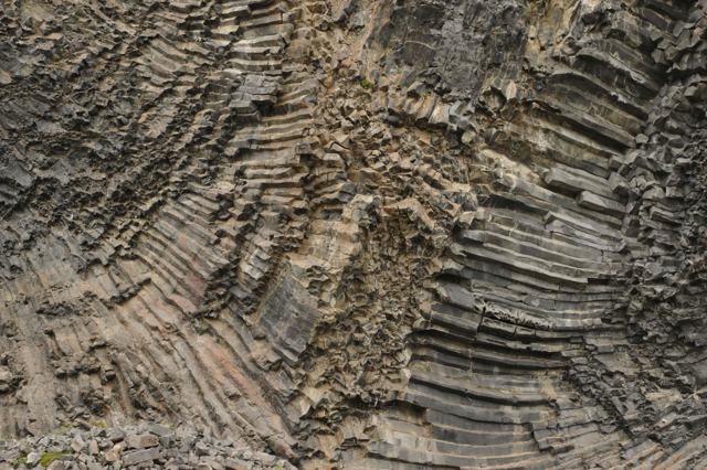
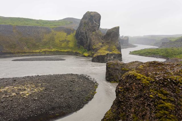
Hljóðaklettar, the Echo Rocks<a href="/locations/hljodaklettar/">Hljóðaklettar</a> is a cluster of twisted basalt formations down by the river at the entrance to Vesturdalur. A circular trail passes named rocks such as Kastali (the Castle), which looks like a fortress with its two main pillars, Tröllið (the Troll) and Kirkjan (the Church).
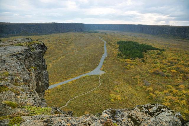
Ásbyrgi and the Diamond CircleThe horseshoe-shaped canyon of <a href="/locations/asbyrgi/">Ásbyrgi</a> is further north. Together with Dettifoss, Húsavík and Mývatn it makes up the Diamond Circle route.

Best time to visit Hafragilsfoss

Summer (June–August)The glacial river runs at its fullest, giving the most powerful view of the falls, and roads are at their most reliable.
Autumn (September–October)Quieter, with less water in the river. The first snow can close Road 864 at short notice.
Winter (October–April)Flow is lower, icicles hang from the canyon walls and the paths are icy and slippery. Road 864 is usually closed, so for most visitors Hafragilsfoss is a summer and early-autumn stop.

Safety and practical tips

  • Stay well back from the canyon edge; there are no barriers in most places.
  • Wear sturdy hiking boots. The ground near the rim is steep, loose and slippery when wet.
  • Combine it with a stop at Dettifoss and Selfoss, all within a short drive of each other.
  • Use the east side (Road 864) for the easy viewpoint. The west-side route is a hard hike, not a roadside stop.
  • Walk out to the promontory beyond the car park for the best view down the canyon.
  • Bring a waterproof jacket, since spray and wind can reach the viewpoint.
  • Check road conditions on umferdin.is before visiting, especially outside summer.

Facilities and accessibility

None at Hafragilsfoss itself: no toilets, water or shelter. The nearest facilities are at the Dettifoss car parks.

On the map

Open in Google Maps →

Nearby places worth a stop

DettifossDettifossIceland's most powerful waterfall, a short drive awaySelfossSelfossA wide waterfall upstream from DettifossÁsbyrgiÁsbyrgiA horseshoe-shaped canyon further northVatnajökull National ParkVatnajökull National ParkThe park that covers this whole areaHljóðaklettarHljóðaklettarThe Echo Rocks, basalt formations in VesturdalurJökulsárgljúfurJökulsárgljúfurThe canyon that holds all three waterfallsLake MývatnLake MývatnVolcanic lake area to the south-west

Where to stay near Hafragilsfoss

Ásbyrgi, Húsavík and Mývatn are the main bases for exploring this part of North Iceland and the Diamond Circle route. Akureyri, about 2 hours away, has the widest choice of hotels and guesthouses.

Hafragilsfoss FAQ

How do I get to Hafragilsfoss?

Take Road 864 north from the Ring Road, on the east side of Jökulsá á Fjöllum, for about 32 km and turn left at the sign for Hafragilsfoss. A short side track leads to the car park and viewpoint.

How tall is Hafragilsfoss?

About 27 metres high and about 91 metres wide.

Which side is best for viewing Hafragilsfoss?

The east side. You can drive almost to the viewpoint. From the west side you need to do a steep hike of about 9 km.

Is Hafragilsfoss free to visit?

Yes, there is no entry fee.

How does Hafragilsfoss compare to Dettifoss?

It is smaller and much quieter, but sits in the same dramatic canyon and is only a short drive from Dettifoss.

Can I visit Hafragilsfoss in winter?

It is difficult. Road 864 is gravel and is usually closed in winter, and the paths are icy. Check road conditions first.

Is Hafragilsfoss part of Vatnajökull National Park?

Yes, it lies within the Jökulsárgljúfur section of the park.
More places in North IcelandWaterfalls in Iceland