Iceland Travel GuideLOCAL TRAVEL AGENCY IN ICELAND
My trip
Talk to a local
Iceland Travel GuideLOCAL TRAVEL AGENCY IN ICELAND
My trip
Talk to a local
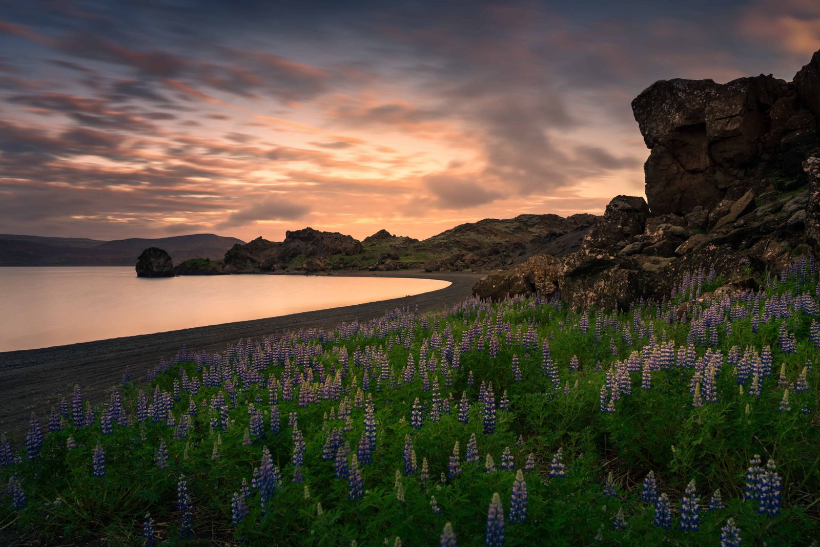
Kleifarvatn is the largest lake on the Reykjanes Peninsula, sitting in a stark volcanic landscape close to the Krýsuvík geothermal area. It is about 30 km (around 30–40 minutes) from Reykjavík, free to visit, open all year, and most people spend 30–45 minutes walking part of the shore.
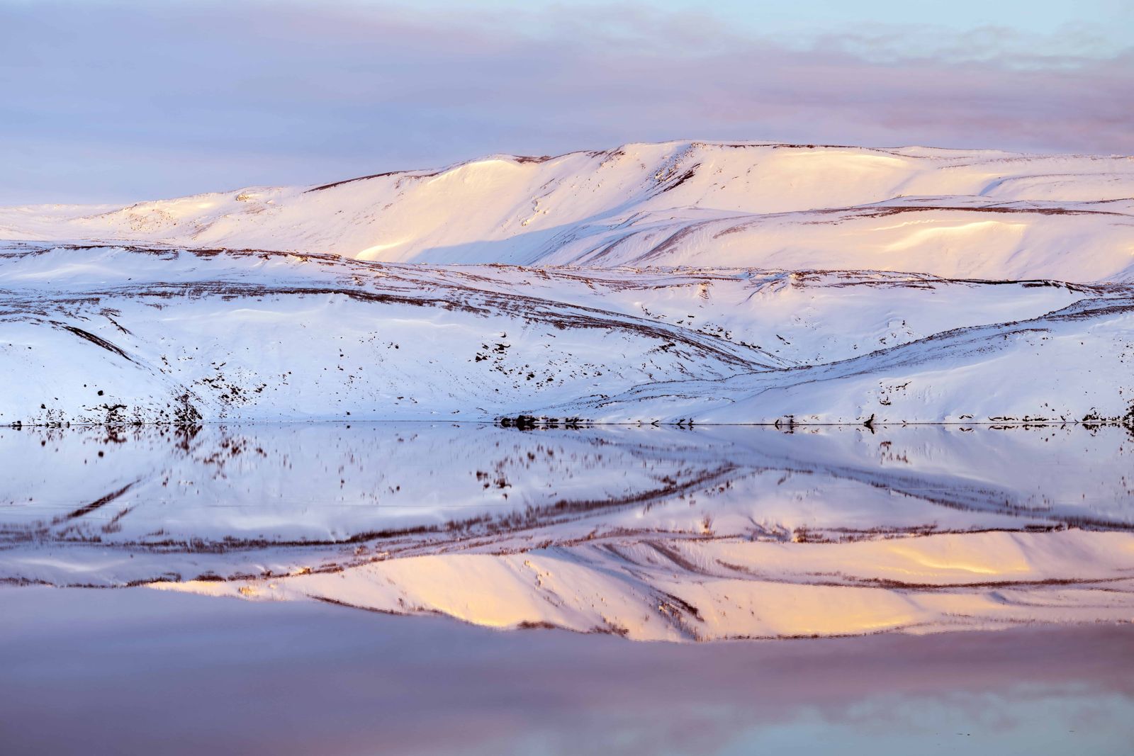
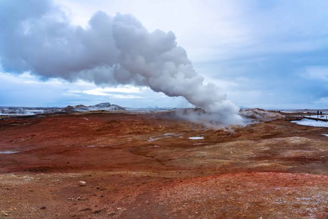
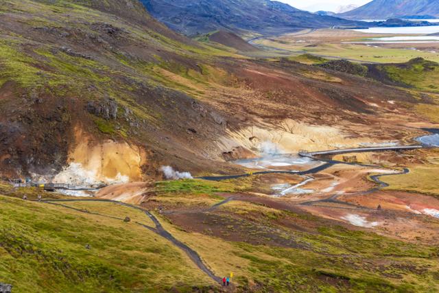
Kleifarvatn covers about 9.1 km² and is around 97 metres deep, which makes it one of the deepest lakes in Iceland. It sits in the middle of the Reykjanes Peninsula, below the steep ridge of Sveifluháls, a short distance from the Seltún geothermal area. The lava around it is covered in thick moss, and steam rises from hot springs in several places.
Kleifarvatn lies on the fissure zone of the Mid-Atlantic Ridge, which runs through the Reykjanes Peninsula. It has no visible rivers flowing in or out; the water level rises and falls mainly with groundwater and geothermal activity underneath, and it dropped noticeably after the 2000 earthquakes on Reykjanes, losing a significant part of its surface area. Over recent decades the level has varied by about 4 metres.
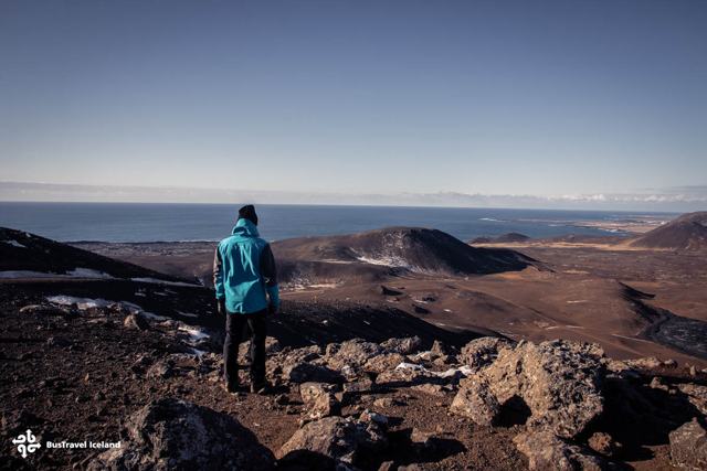
The surrounding land is dramatic and largely untouched, with dark lava fields, steep slopes and views towards the geothermal area at Krýsuvík nearby. It is a quiet, open place rather than a dressed-up attraction, popular with walkers, birdwatchers and anyone doing a loop of the Reykjanes Peninsula.
People come here to walk the black shore, watch birds, take photographs and fish for trout and char; you need a permit to fish. Because it is dark and only a short drive from the capital, Kleifarvatn is also a good place to look for the Northern Lights on a clear winter night.
After the earthquakes that shook the Reykjanes Peninsula in 2000, Kleifarvatn's water level dropped noticeably, and at least a fifth of its surface disappeared as cracks opened underground and changed how the groundwater fed the lake. It is a reminder that this landscape is still geologically active, on the same fissure zone that produced the Fagradalsfjall and other recent eruptions further along the peninsula.
Hot water from springs runs into the southern end of the lake, while the rest of it is very cold. Local folklore adds a monster: a worm-shaped creature the size of a medium whale is said to live in the depths.
Kleifarvatn can be reached in any season, but check the road conditions in winter.
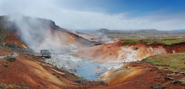
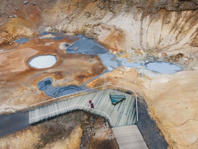
The lake is one stop in a small area full of geothermal sights. These are all within a short drive.
Stay on the walkways at Seltún. The ground is hot and the crust is thin.
No toilets, café or shop at the lake itself. The nearest services are in Hafnarfjörður or towards Grindavík.
Most visitors see Kleifarvatn as a stop while touring the Reykjanes Peninsula rather than an overnight base; Reykjavík and Keflavík both make convenient bases nearby.
Yes, there is no entrance fee.
It is not set up as a swimming spot; most visitors come to walk the shore and take in the scenery rather than swim.
About 30 km, around 30–40 minutes by car.
Earthquakes on the Reykjanes Peninsula in 2000 changed underground water flow and the lake lost a significant part of its surface area.
About 97 metres at its deepest, which makes it one of the deepest lakes in Iceland. It covers about 9.1 km².
The Seltún geothermal area at Krýsuvík, the crater lakes Grænavatn and Gestastaðavatn, and the small Skátalaug hot spring.
Yes, on clear, dark nights from autumn to spring. The lake is away from city lights and close to Reykjavík.
Tours and trips that include Kleifarvatn, booked directly with a local travel agency in Iceland.
 PRIVATEReykjanes Peninsula Private TourFrom 179,900 ISK per group
 DAY TOURReykjanes GeoParkFrom 19,300 ISK per person
 DAY TOURReykjanes Volcano Fields & GrindavíkFrom 14,990 ISK per person
 DAY TOURVolcano Tour & Reykjanes SightseeingFrom 15,990 ISK per person
 DAY TOURReykjanes Volcano TourFrom 15,000 ISK per person