Iceland Travel GuideLOCAL TRAVEL AGENCY IN ICELAND
My trip
Talk to a local
Iceland Travel GuideLOCAL TRAVEL AGENCY IN ICELAND
My trip
Talk to a local

Langjökull, meaning "long glacier", is Iceland's second-largest ice cap at roughly 870–950 km², sitting in the western highlands about 140 km (roughly 2 hours) from Reykjavík near the Golden Circle and Húsafell. There is no road access for ordinary cars; visits are by guided snowmobile, super jeep or the man-made ice tunnel, open all year, with most trips lasting 3–6 hours including transport.
Langjökull feeds several of West Iceland's best-known rivers, including the Hvítá, which drops over Gullfoss further downstream, so the glacier and the Golden Circle are more connected than they first appear. The ice cap sits over lower ground than Vatnajökull and has a gentler surface in places, which is part of why it was chosen for the Into the Glacier project, a man-made network of tunnels cut into the ice.
Because ordinary cars cannot reach the glacier itself, almost every visit starts with a transfer, usually a super jeep or a specially adapted bus, from a base camp such as Húsafell or Klaki base camp, followed by the activity itself: walking through the ice tunnels, snowmobiling across the surface, or a mix of both on longer tours.
Like Iceland's other glaciers, Langjökull has lost significant mass in recent decades, and guides sometimes point out how far the edge has retreated compared to just ten or twenty years ago.
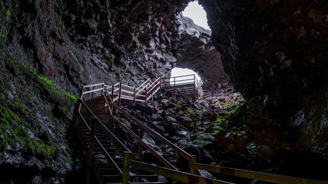
Into the Glacier was built in the early 2010s as a purpose-cut tunnel system inside Langjökull, complete with an ice chapel where a small number of couples have married. It is one of very few places in the world where you can walk inside a glacier through a man-made passage rather than a natural ice cave, and because it is engineered rather than seasonal, it stays open through the summer months when natural ice caves elsewhere are unsafe.
The route from base camp onto the ice crosses rough highland terrain and is only driven by specially adapted vehicles. Do not attempt it in a rental car.
The name Langjökull means "long glacier", and the shape fits: about 50 km from end to end and 15–20 km across.
Langjökull lies almost parallel to Iceland's active volcanic zone, and the ice hides at least two volcanic systems. The best known is Hveravellir, whose hot springs steam away just east of the glacier on the Kjölur route; the other, Prestahnúkur, sits under the south-western corner. The ice reaches about 1,450 m above sea level at its highest and is up to roughly 580 m thick.
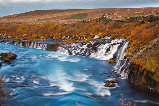
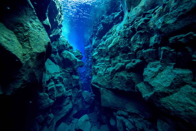
Few rivers run straight off the glacier. Much of the meltwater sinks into the porous lava and travels underground instead. It comes up again in Lake Þingvallavatn to the south, where it fills the clear fissure at Silfra, and to the west at Hraunfossar, where it seeps out from under the lava. The lake Hvítárvatn on the eastern side feeds the Hvítá river and Gullfoss.
Langjökull used to have a small neighbour to the west, the glacier on the mountain Ok. Okjökull thinned until it could no longer move under its own weight and lost its status as a glacier in 2014, the first in Iceland to be declared gone because of the warming climate. Langjökull itself is retreating, and researchers have warned it could disappear within about 150 years at the current pace.
Nothing on the ice is self-guided. These are the ways visitors get onto and into Langjökull.
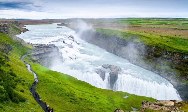
The Golden Circle would look very different without Langjökull. Gullfoss gets its water from the glacial river Hvítá, which starts at the glacier. The water at Þingvellir has spent decades filtering through lava from the same ice, and the glacier's groundwater is thought to supply the hot springs of the Geysir geothermal area as well.
This is why so many glacier tours start at Gullfoss. You meet your guide at the waterfall and are driven up to the ice in a modified truck for snowmobiling, an ice cave or a glacier walk, then carry on round the Golden Circle afterwards.
You can reach Langjökull from two sides. The west side, near Húsafell, and the east side, from Gullfoss on the Golden Circle, are the usual starting points.
Never drive onto the glacier or the tracks beyond the base camps yourself. Crevasses, soft snow and sudden weather make it guide-only ground.
The ice tunnel operates year-round regardless of season, which makes Langjökull one of the more reliable glacier activities to book in advance.
Base camps have toilets and a warm waiting area. There are no facilities on the ice itself beyond what the tour provides.
Húsafell has hotels, guesthouses and a campsite close to the tour base camps. Reykholt and Borgarnes are alternatives if you prefer to stay closer to the Ring Road.
You can drive to the base camp area, but reaching the glacier itself needs a guided tour with a specially adapted vehicle.
Yes, Into the Glacier is a man-made tunnel and runs year-round, weather permitting.
Most tours run 3–6 hours including the transfer from base camp, longer if you add transport from Reykjavík.
Vatnajökull is much larger. Langjökull is Iceland's second-largest glacier at roughly 870–950 km², compared with roughly 7,700 km² for Vatnajökull.
It means "long glacier". The ice cap is about 50 km long and 15–20 km wide.
Yes. They form and change with the movement and melting of the ice, so they are visited only on guided tours, and which cave is open varies from season to season.
Drive Route 1 to Borgarnes, then Routes 50 and 518 to Húsafell, about two hours, and join a tour there. Alternatively join a tour that starts at Gullfoss on the Golden Circle.
Its meltwater feeds the Hvítá river and Gullfoss, and groundwater from the glacier resurfaces at Þingvellir.
Tours and trips that include Langjökull, booked directly with a local travel agency in Iceland.
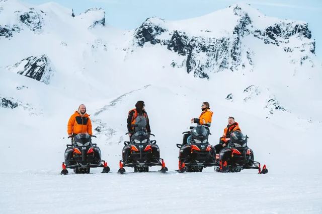 DAY TOURSnowmobile & Ice Cave on Langjokull glacierFrom 38,990 ISK per person
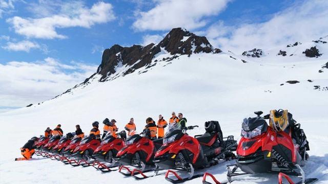 DAY TOURLangjokull Snowmobile TourFrom 37,718 ISK per person
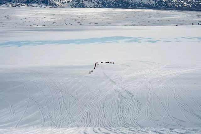 DAY TOURGlacier Snowmobile Tour from Golden Circle IcelandFrom 33,990 ISK per person
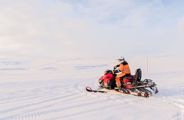 DAY TOURReykjavik Snowmobile TourFrom 42,990 ISK per person
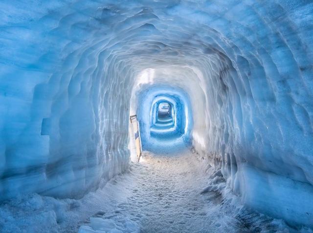 DAY TOURInto the GlacierFrom 38,990 ISK per person
 MULTI-DAY8 Day Tour Around IcelandFrom 389,990 ISK per person