Iceland Travel Guide logo Iceland Travel GuideLOCAL TRAVEL AGENCY IN ICELAND My trip Talk to a local
Þingvellir National Park

Golden CircleNational parkFree entryOpen all year

Visit on one of our Golden Circle tours

ÞINGVELLIR NATIONAL PARK IN SHORT

Þingvellir National Park (often written Thingvellir) is a rift valley in South Iceland where the North American and Eurasian tectonic plates are pulling apart, and the site of Iceland's original parliament, the Alþingi, founded in 930. It is about 50 km (around 45 minutes) from Reykjavík, free to enter, open all year, and most visitors spend 1.5–2 hours there, longer if diving or snorkelling Silfra.

ON THIS PAGE
Quick factsHistoryGetting thereSeeNatureBest time to visitSafety tipsFacilitiesMapNearbyWhere to stayFAQ

About Þingvellir National Park

Þingvellir means "assembly plains", and it was here that chieftains from around Iceland gathered every summer from 930 to hold the Alþingi, one of the world's oldest parliaments. Laws were recited from the Lögberg (Law Rock), and the plain below still shows where the assembly booths once stood, alongside a wooden flagpole marking the spot.

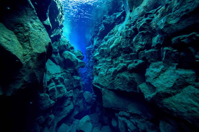
Geologically, Þingvellir sits in a valley formed by the Mid-Atlantic Ridge, the boundary where the North American and Eurasian tectonic plates are slowly moving apart, by a few centimetres a year. This has opened a series of fissures across the valley floor, the best known being Almannagjá, a walkable rift gorge, and Silfra, a water-filled fissure so clear it is a popular spot for diving and snorkelling. The park is also part of the Golden Circle and was made a UNESCO World Heritage Site in 2004 for its history and geology together.

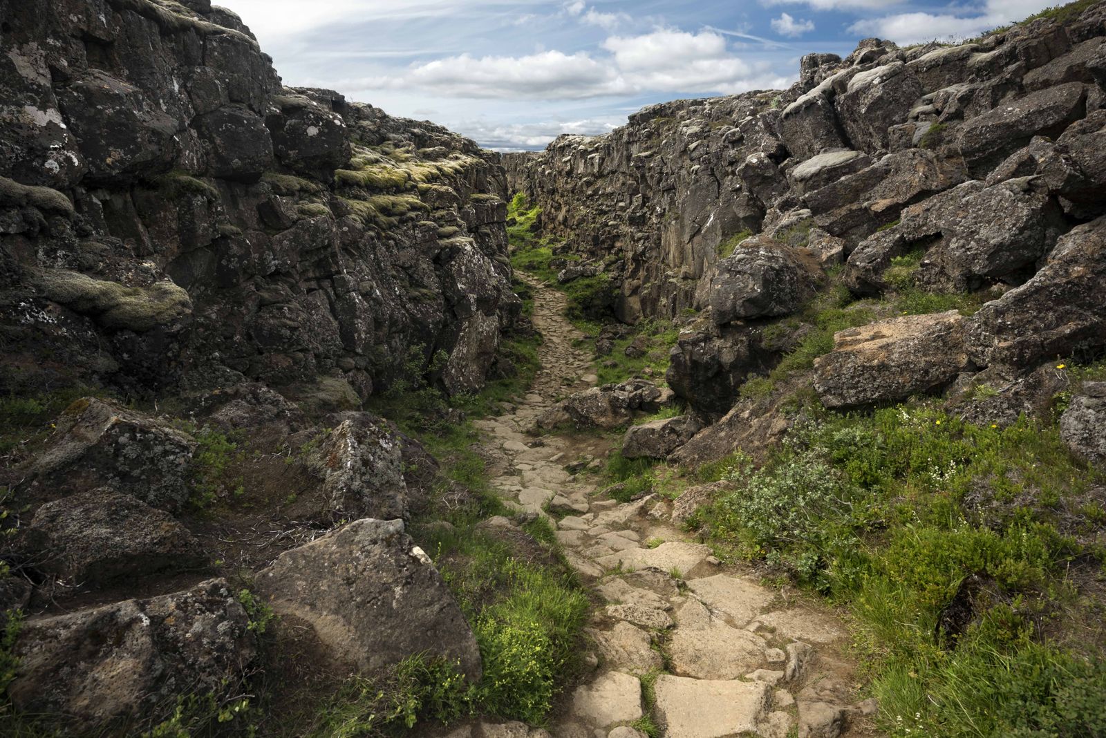
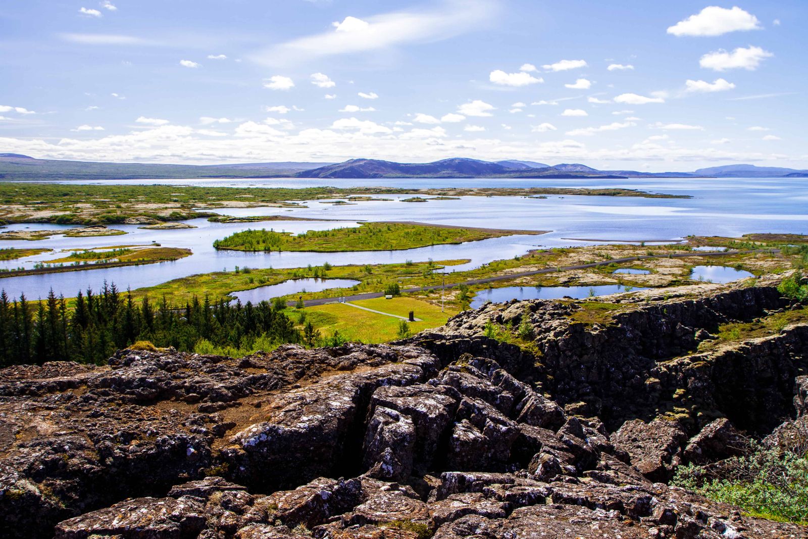
Almannagjá marks the edge of the North American plate, and the valley floor beyond it is the gap that has opened between the two plates. Walking down the gorge, with a wall of lava on each side, is the closest most people come to walking between continents. Around it the park is a mix of cliffs, clear rivers, birch scrub and mossy lava running down to Þingvallavatn, the largest natural lake in Iceland.

Quick facts

FoundedAlþingi established here in 930 AD
GeologyRift valley on the Mid-Atlantic Ridge, between two tectonic plates
LakeÞingvallavatn, the largest natural lake in Iceland, about 84 km²
RegionSouth Iceland, on the Golden Circle route
From ReykjavíkAbout 50 km, around 45 minutes by car
From GullfossAbout 90 km, around 1 hour 15 minutes by car
EntryFree to the park; parking fees apply
ParkingAbout ISK 1,000 for a car, covering all three main lots for one day
Opening hoursOpen all year, day and night
Time needed1.5–2 hours, more for Silfra
ProtectedNational park since 1930; UNESCO World Heritage Site since 2004

Where Iceland's laws were first spoken

For over 800 years, Þingvellir was the site of Iceland's national assembly, where chieftains settled disputes, passed laws and made major decisions, including the country's conversion to Christianity around the year 1000. Standing at the Lögberg, the law speaker recited the laws aloud from memory each year, since little was written down in the earliest period.

The Alþingi eventually moved to Reykjavík in 1844, but Þingvellir remains central to Icelandic identity: the country's independence from Denmark was also marked here, in 1944. Walking the valley today, you are moving through both a live geological boundary and the physical setting of a thousand years of Icelandic history.

How to get to Þingvellir National Park

On a guided tourÞingvellir is the first stop on almost every Golden Circle tour from Reykjavík. A private tour or self-drive gives more time to walk the full site.
By carTake Route 36 northeast from Reykjavík. The road is paved and open all year, though can be icy in winter.
By public transportThere is no regular year-round public bus directly to Þingvellir, so a tour or rental car is the practical choice.
ParkingThree main car parks (P1 at Hakið near the visitor centre, P2 at Efri-Vellir, and P5 at Valhöll near the church and Silfra) each charge a fee, with one payment covering all three for the day via number-plate recognition and the Parka app or checkit.is.

What to see

Þingvellir rewards walking rather than a single viewpoint.

Almannagjá gorgeA walkable rift running along the western edge of the plain, with the Lögberg (Law Rock) and views over the whole valley. Below it are the low, grassed-over ruins of the booths where people stayed during the assembly.
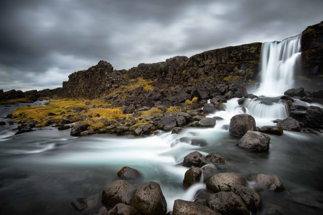
ÖxarárfossA small waterfall dropping into the rift, a short walk from the main path.
Þingvellir Church and farmA small white church and old farmhouse near the lake, close to the P5 car park.
Silfra fissureA fissure filled with glacial meltwater that has been filtered through lava for decades, so clear that visibility is often over 100 metres. It is one of the few places where you can swim between two tectonic plates, and it is popular for diving and snorkelling with a licensed operator.

Natural beauty and wildlife at Þingvellir

Away from the main paths Þingvellir is quiet, and there is more to it than history and rock.

Þingvallavatn lakeIceland's largest natural lake fills the southern end of the rift valley. It is known among anglers for its Arctic char and large brown trout. Fishing needs a permit, so ask at the visitor centre before you cast a line.
PlantsBirch woodland, moss-covered lava and summer wildflowers cover the valley floor. In autumn the birch and low shrubs turn yellow and red, which is when the park is at its most colourful.
Birds and animalsRavens, snipe and Arctic terns are common. Mink live along the lakeshore, and with luck you may see an Arctic fox.
WalkingMarked trails lead from Almannagjá across the plain and through the old farm sites in the lava. They are mostly level, and a couple of hours is enough for a good loop.

Best time to visit Þingvellir National Park

Summer (June–August)Long daylight for walking, green valley floors and the busiest crowds, especially at Almannagjá. Book Silfra well ahead.
Autumn (September–October)Fewer visitors, autumn colour along the valley floor, and the first chance of Northern Lights.
Winter (November–March)Snow and ice on the paths and short daylight, but the rift and lake are striking in low winter light. On clear nights the park is dark enough to be a good place to look for the Northern Lights.
Spring (April–May)Melting snow, rivers running high and lengthening days, with smaller crowds than summer. The first wildflowers appear in May.

Silfra water temperature stays close to 2–4°C all year, so a dry suit is used whatever the season.

Safety and practical tips

  • Wear sturdy shoes. Paths cross uneven lava rock and can be slippery when wet or icy.
  • Book Silfra diving or snorkelling in advance, since only licensed operators may enter the fissure.
  • Stay on marked paths around the rift edges, which can be unstable.
  • Check umferdin.is for winter road conditions on Route 36 before driving.
  • Allow time to walk from Almannagjá down to the church and lake rather than just viewing from the top.

Facilities and accessibility

The visitor centre near the P1 car park has toilets, information displays and a café. There is a smaller service building near P5. Fuel and wider services are available in nearby Laugarvatn.

On the map

Open in Google Maps →

Nearby places worth a stop

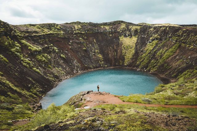
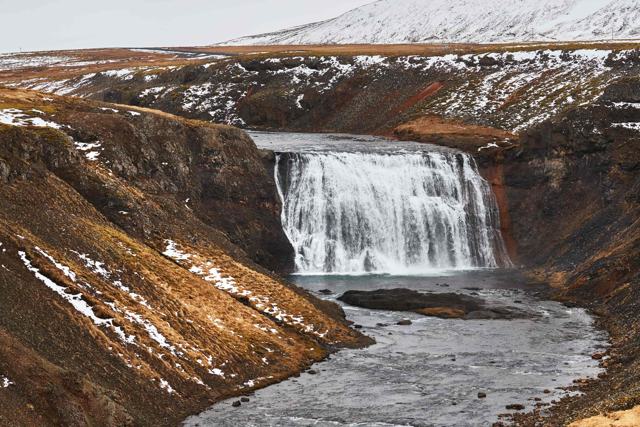
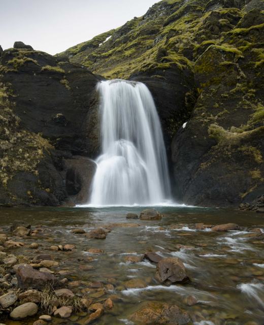
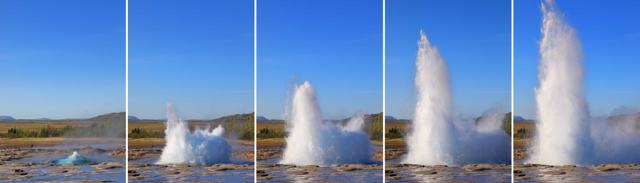
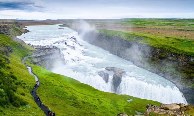
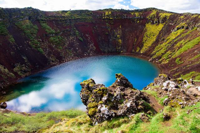
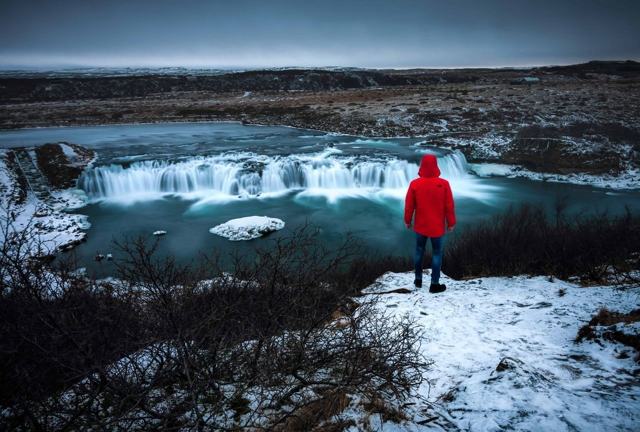
ÖxarárfossÖxarárfossWaterfall inside the park, a short walk through AlmannagjáSilfraSilfraSnorkelling and diving between the platesÞórufossÞórufossQuiet waterfall on the road in from ReykjavíkHelgufossHelgufossSmall waterfall in Mosfellsdalur, on the way from the cityGeysirGeysirStrokkur erupts every few minutesGullfossGullfossGolden Circle waterfall further eastKerið craterKerið craterRed crater with a blue-green lakeFaxiFaxiWide, quiet waterfall on the Golden Circle

Where to stay near Þingvellir National Park

Laugarvatn, a short drive away, has hotels, guesthouses and a geothermal bathing spot, and makes a convenient overnight base for the Golden Circle.

A hotel we know and book close by: Úlfljótsskáli Luxury Lodge, ION Adventure Hotel. See all places to stay.

Þingvellir National Park FAQ

Is there an entry fee for Þingvellir?

No entry fee to the park itself. You pay only for parking, currently around ISK 1,000 for a car, which covers all three main car parks for the day.

How far is Þingvellir from Reykjavík?

About 50 km, or around 45 minutes by car.

What is special about Þingvellir geologically?

It sits in a rift valley where the North American and Eurasian tectonic plates are pulling apart, visible as fissures crossing the valley floor.

Can you dive at Þingvellir?

Yes, in the Silfra fissure, but only with a licensed diving or snorkelling operator, since independent diving is not permitted.

Is Þingvellir part of the Golden Circle?

Yes. It is usually the first of the three main Golden Circle stops, followed by Geysir and Gullfoss.

What does Þingvellir mean?

It means "assembly plains". The name is often written Thingvellir in English, and it refers to the Alþingi, the parliament that met here from 930.

Is Þingvellir worth visiting in winter?

Yes. The paths can be icy and the days are short, but the park is open, quieter than in summer, and a good spot for the Northern Lights on clear nights.

See Þingvellir National Park with a local

Tours and trips that include Þingvellir National Park, booked directly with a local travel agency in Iceland.
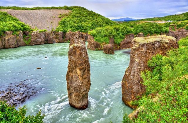
Golden Circle Private TourPRIVATEGolden Circle Private TourFrom 120,000 ISK per groupPrivate Golden Circle & Laugarás Lagoon TourPRIVATEPrivate Golden Circle & Laugarás Lagoon TourFrom 159,000 ISK per groupGolden Circle and HvammsvikPRIVATEGolden Circle and HvammsvikFrom 165,800 ISK per groupGolden Circle Tour: Small-Group Tour from Reykjavik with Brúarfoss & KeriðDAY TOURGolden Circle Tour: Small-Group Tour from Reykjavik with Brúarfoss & KeriðFrom 12,927 ISK per personGolden Circle, Kerið Crater & Friðheimar Tomato FarmDAY TOURGolden Circle, Kerið Crater & Friðheimar Tomato FarmFrom 15,490 ISK per personGolden Circle & Blue Lagoon Small Group TourDAY TOURGolden Circle & Blue Lagoon Small Group TourFrom 31,900 ISK per person
More places in Golden Circle