Iceland Travel Guide logo Iceland Travel GuideLOCAL TRAVEL AGENCY IN ICELAND My trip Talk to a local
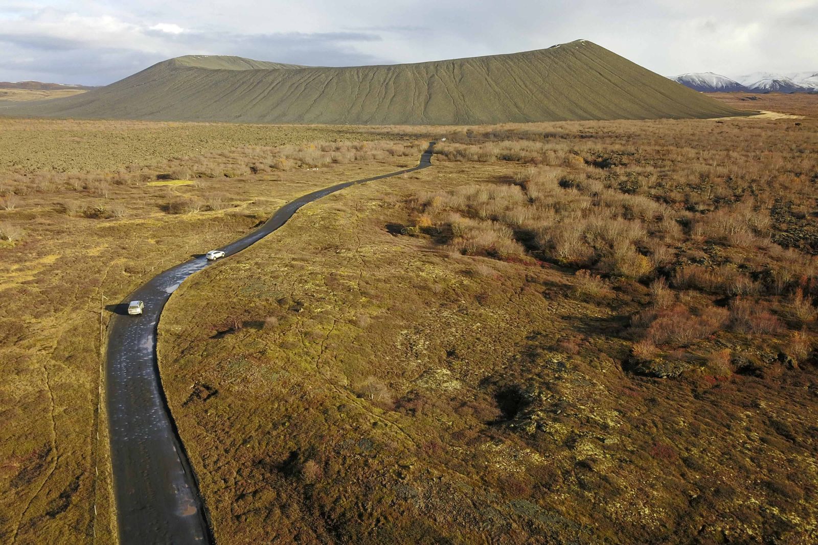
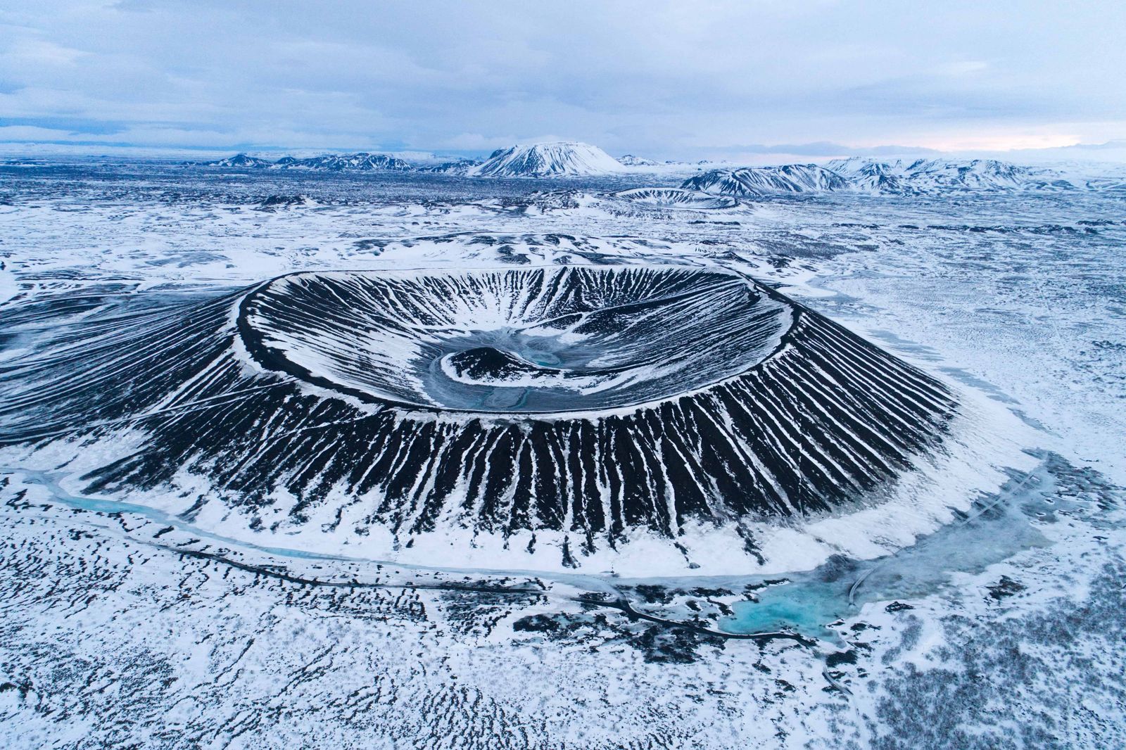
Hverfjall volcanic crater

North IcelandCraterFree entryStay on paths
HVERFJALL IN SHORT

Hverfjall is a tephra crater about 1 km across on the east side of Lake Mývatn in North Iceland, formed in an eruption about 2,500 years ago. It is about a 10-minute drive from Reykjahlíð. The path to the rim takes roughly 10–25 minutes, and the whole circuit about an hour.

ON THIS PAGE
Quick factsHistoryGetting thereHikingBest time to visitSafety tipsFacilitiesMapNearbyWhere to stayFAQ

About Hverfjall

Hverfjall, also called Hverfell, is a ring of loose volcanic ash and rock, about 1 km wide, that formed when magma met water in an explosive eruption around 2,500 years ago. The bowl is almost as deep as the rim is high, which is unusual.

The crater is about 140 metres deep and shaped like a huge stadium. It was once symmetrical, but a landslide during the eruption is thought to have brought down part of the southern side, which is why the rim is lower and uneven there. It is one of the largest tephra craters of its kind in the world, and its dark, bare mass is hard to miss from anywhere around the lake.

A steep path climbs to the rim. From the top you see Lake Mývatn, the lava fields of Dimmuborgir and the country around. You can also walk around the rim. The ground is loose ash, so the path is steep and slippery in places.

The size can look intimidating from the car park, but the walk is easier than it seems. The climb is short and steady, and families with children manage it without trouble in good weather. Inside there is nothing but grey and black ash and a small mound in the middle, and many visitors say it feels like standing on the moon.

Quick facts

TypeTephra crater (tuff ring)
DiameterAbout 1 km at the rim
Crater depthAbout 140 m
HeightRoughly 80–170 m above the surroundings; rim about 452 m above sea level
AgeAbout 2,500 years
RegionNorth Iceland, east of Lake Mývatn
From ReykjahlíðAbout 10 minutes by car
From AkureyriAbout 1 hour 5 minutes by car
HikeAbout 600 m to the rim (10–25 min, allow up to 30); circuit around the rim about 3.2 km (about 1 hour)
EntryNo entrance fee; a parking fee is charged at the car park
ProtectedNatural monument since 2011

Why the crater is protected

Hverfjall was declared a natural monument in 2011. The loose ash is easily damaged, and old shortcuts and footprints leave scars that last for years. The Environment Agency keeps visitors on two paths, one from the northwest and one from the south.

Please use them. Walking straight up or down the slope is forbidden.

How to get to Hverfjall

By carFrom Reykjahlíð, take Road 848 south along the east shore of Lake Mývatn. A signed gravel side road leads east to the car park at the foot of the crater. You cannot miss the crater itself; it dominates the view. The side road is rough but passable in summer and often not passable in winter.
On a guided tourSome Mývatn tours include Hverfjall, often with Dimmuborgir and the Mývatn shore.
On foot from DimmuborgirA marked path links the Dimmuborgir lava formations and the south side of Hverfjall. It is roughly 2–3 km one way, so allow 30–45 minutes to the foot of the crater before the steeper climb to the rim. It is a good add-on for walkers.

The access road is rough and often impassable in winter. Check road and weather conditions on umferdin.is and vedur.is.

Hiking at Hverfjall: the two paths

There are two paths up Hverfjall, one from the northwest and one from the south. It is strictly forbidden to leave them or to use any other route.

Northwest path, from the car parkThe usual way up. A wide path climbs steadily from the car park to the rim in about 600 metres. Most people take 10–25 minutes; allow half an hour if you are walking with children or stop for photos. It is the easier of the two and suits anyone with normal fitness.
South path, from the Dimmuborgir sideShorter but steeper, on looser ground, and slippery when wet or frozen. It is the path you meet if you walk over from Dimmuborgir, and it suits experienced walkers who want more of a challenge. A common plan is to go up one path, walk half the rim and come down the other.
Around the rimYou can walk the whole way round the rim, about 3.2 km, in around an hour. The path is easier than it looks from below, with the ash bowl on one side and open views on the other. Skip it in strong wind; there is no shelter.
What you see from the topThe inside of the crater, Lake Mývatn and its islands, the lava towers of Dimmuborgir, the lava fields around the lake and the mountains beyond. On a clear day you see a long way in every direction.

What to bring: comfortable hiking shoes with grip, warm clothes and a windproof layer, because it gets very windy on the rim. Take water in summer. There is nowhere to buy anything at the crater.

The path from the car park to the rim and back takes 30–60 minutes. With the full rim circuit, allow about two hours in all.

Best time to visit Hverfjall

Summer (June–September)Best conditions and long light. Take water and wear grip shoes. Midges can be a nuisance by the lake.
Winter (October–April)The road may be closed and the path icy. Only go with proper gear and in good weather.

Safety and practical tips

  • Stay on the marked paths. Walking off them damages the crater.
  • Wear sturdy shoes. The path is loose and steep.
  • Wind on the rim can be strong. Bring a windproof jacket.
  • Do not roll rocks or stones down the slope.
  • Check the Environment Agency and umferdin.is for any closures.
  • Have a card ready for the parking fee and the toilets.

Facilities and accessibility

There is a car park at the foot of the crater with toilets. A parking fee is charged, and the toilets have a small fee too. There is no café or shop. Services are in Reykjahlíð.

On the map

Open in Google Maps →

Nearby places worth a stop

DimmuborgirLava formations, connected by a path
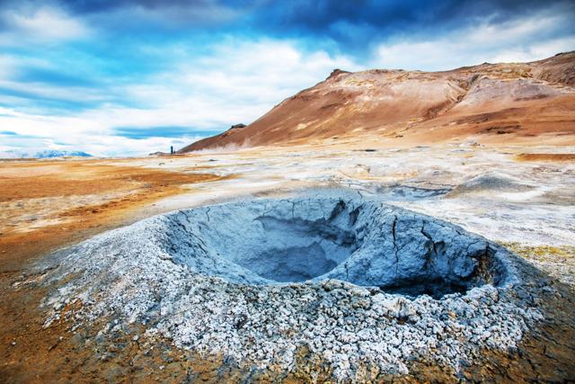
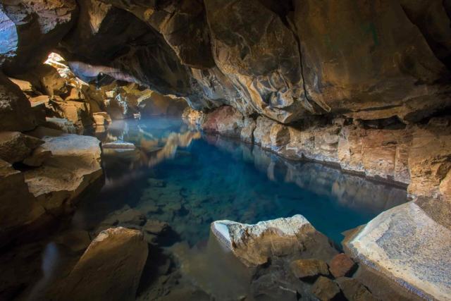
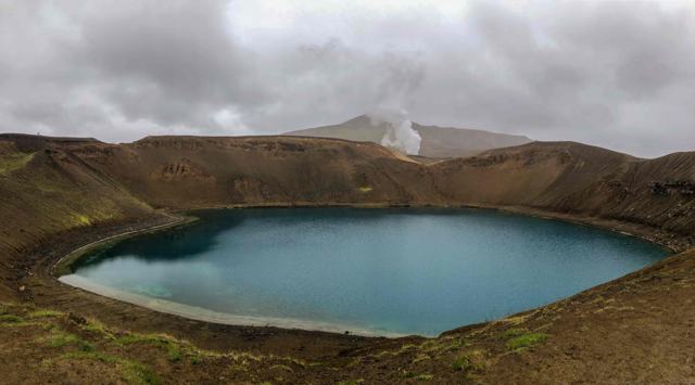
Lake MývatnLake MývatnShallow lake with rich birdlifeSkútustaðagígarSkútustaðagígarPseudocraters on the south shoreNámafjallNámafjallSteaming ground and mud potsGrjótagjáGrjótagjáCave with a warm pool, not for bathingKraflaKraflaVolcanic area with the Víti crater lake

Where to stay near Hverfjall

Reykjahlíð has hotels, guesthouses and a campsite, and there are farms around the lake. Akureyri is about an hour away.

Hverfjall FAQ

How long is the hike?

The path from the car park to the rim is about 600 m and takes 10–25 minutes. The circuit round the rim is about 3.2 km, roughly an hour. Allow two hours for everything.

Is there an entrance fee?

There is no entrance fee for the crater, but a parking fee is charged at the car park (about ISK 1,000 for a car when last checked), and the toilets cost a little extra.

How old is Hverfjall?

About 2,500 years.

Can I go in winter?

The road is often impassable, and the path can be icy. Check conditions first.

Can I walk from Dimmuborgir?

Yes, a marked path of roughly 2–3 km leads to the south side of the crater. Allow 30–45 minutes, then a steep climb to the rim.

Is the Hverfjall hike suitable for children?

Yes, in good weather. The northwest path is wide and steady. Keep children close on the rim, where it is windy and the slopes are steep.

How deep is the Hverfjall crater?

About 140 metres, and about 1 km across at the rim.

Can you walk down into the crater?

No. Visitors must stay on the two marked paths and the rim path. The loose ash is easily scarred.
More places in North Iceland