Iceland Travel GuideLOCAL TRAVEL AGENCY IN ICELAND
My trip
Talk to a local
Iceland Travel GuideLOCAL TRAVEL AGENCY IN ICELAND
My trip
Talk to a local
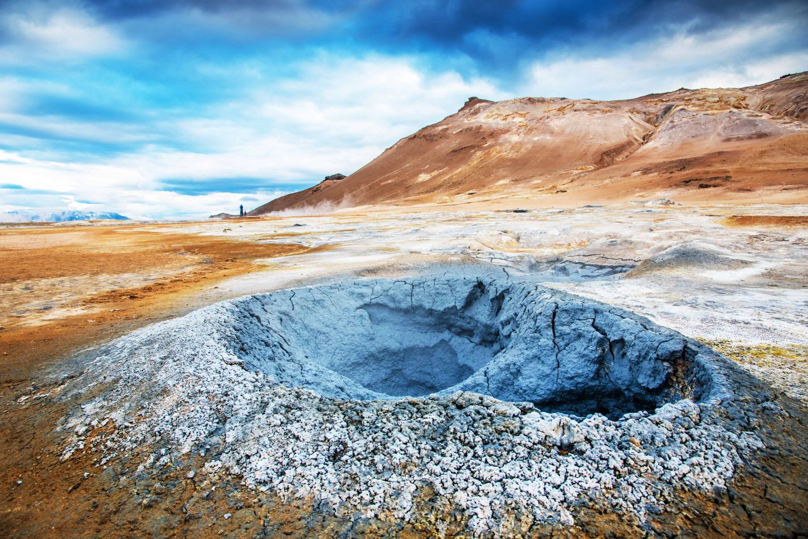
Námafjall, often called Hverir, is a geothermal area of bubbling mud pools, hissing steam vents and orange-red earth beside a low mountain near Lake Mývatn. It is about 475 km (around 6 hours) from Reykjavík and around 90 km (1 hour 15 minutes) from Akureyri, free to enter, open all year, and most people spend 30-60 minutes there.
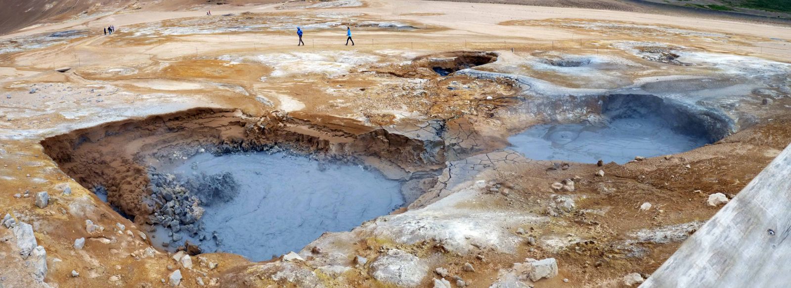
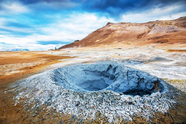
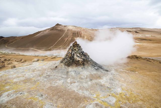
Námafjall sits on a stretch of active geothermal ground on the eastern side of Lake Mývatn, close enough to the Krafla volcanic system that the whole area steams and bubbles year round. The main field, known locally as Hverir or Hverarönd, is a flat expanse of mud pots and fumaroles right beside the road. The ground is so acidic that nothing grows here at all, leaving bare, mineral-stained earth in shades of yellow, orange and grey, with sulphur crystals around the vents.
A steep path climbs the ridge of Námafjall itself for a wider view over the steam fields, Mývatn and the surrounding lava. The whole place feels closer to another planet than to the rest of Iceland's green valleys, and the strong smell of sulphur is part of the experience.
The road reaches the field through Námaskarð, a narrow pass between the mountains Námafjall and Dalfjall, and Hverarönd lies just east of the pass at the foot of the mountain. Some of the loudest steam vents are old boreholes that have been covered with heaps of rock. They roar constantly and are easy to pick out from the car park.
Námafjall means "mine mountain". Sulphur was dug here for centuries and exported, mainly for making gunpowder, and the yellow deposits are still easy to see around the vents and on the slopes.
In the 20th century the heat itself became the resource. Boreholes were drilled on both sides of the mountain, and in 1969 Bjarnarflag, Iceland's first geothermal power station, opened on the western side with an output of about 3 MW. It is still running, and the steam rising from it is visible as you drive up to the pass from Mývatn.
There are two ways to see the area.
Keep to the marked paths at all times. The ground can be hot and soft, and boiling mud lies just under the surface in places.
Námafjall is one stop among many around Mývatn and on the Diamond Circle.
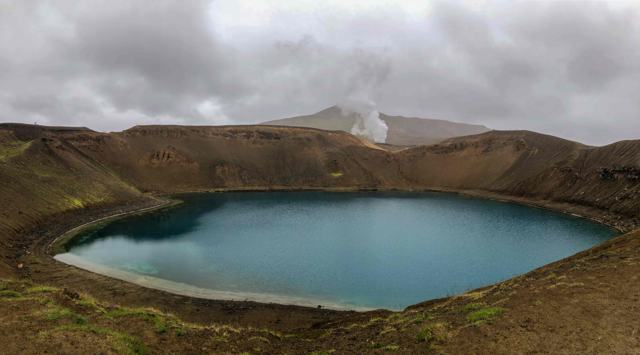
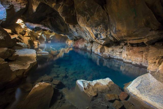
<a href="/locations/myvatn-lake/">Lake Mývatn</a> is the fourth largest lake in Iceland, about 37 square kilometres, formed by basaltic lava eruptions thousands of years ago. The lake and its wetlands support large numbers of water birds, ducks in particular, and the shore is lined with pseudocraters, lava pillars and other volcanic landforms. <a href="/locations/dimmuborgir-lava-field/">Dimmuborgir</a>, <a href="/locations/hverfjall-volcanic-crater/">Hverfjall</a>, <a href="/locations/skutustadagigar-craters/">Skútustaðagígar</a> and <a href="/locations/grjotagja/">Grjótagjá</a> are all within a short drive, and <a href="/locations/krafla-crater/">Krafla</a> and <a href="/locations/leirhnjukur/">Leirhnjúkur</a> are just north of Námafjall.
Námafjall is also on the Diamond Circle, the loop through the north-east that takes in <a href="/locations/godafoss-waterfall/">Goðafoss</a>, <a href="/locations/dettifoss-waterfall/">Dettifoss</a>, the <a href="/locations/hljodaklettar/">Hljóðaklettar</a> rock formations, the town of <a href="/locations/husavik-village/">Húsavík</a> and <a href="/locations/asbyrgi/">Ásbyrgi</a>, a horseshoe-shaped canyon about 3.5 km long and more than 1 km wide, wooded on the floor and split down the middle by a 25-metre-high rock.
There are toilets at the car park. There is no café on site; services are available in the villages around Mývatn.
Most visitors base themselves in Reykjahlíð or elsewhere around Lake Mývatn, where there are hotels, guesthouses and campsites, or in Akureyri. All are within easy reach of Námafjall.
Hverir is the name locals use for the flat geothermal field at the base of Mt. Námafjall; the names are often used interchangeably for the site.
Entry is free, but a parking fee applies.
Yes, as long as you stay on the marked paths. The unmarked ground can be dangerously hot.
About 90 km, around 1 hour 15 minutes by car.
The ground is hot and strongly acidic from the geothermal gases, so plants cannot grow. The colours come from sulphur and other minerals.
Yes. A marked trail climbs from the geothermal field to the ridge and loops back to the car park by the Námaskarð pass. It is steep and slippery when wet.
Tours and trips that include Námafjall, booked directly with a local travel agency in Iceland.