Iceland Travel Guide logo Iceland Travel GuideLOCAL TRAVEL AGENCY IN ICELAND My trip Talk to a local
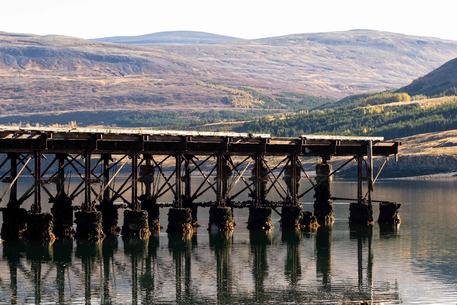
Hvalfjörður fjord

West IcelandScenic driveFree entryOpen all year
HVALFJÖRÐUR IN SHORT

Hvalfjörður ("Whale Fjord") is a roughly 30-kilometre fjord in West Iceland, just north of Reykjavík, mostly bypassed today by the Hvalfjörður Tunnel. It is free to drive, open all year, and worth the detour for the Glymur waterfall hike and quiet coastal scenery, adding about an hour compared with the tunnel.

ON THIS PAGE
Quick factsHistoryGetting thereExploreBest time to visitSafety tipsFacilitiesMapNearbyWhere to stayFAQ

About Hvalfjörður

Before the tunnel opened in 1998, every journey between Reykjavík and West or North Iceland went the long way around Hvalfjörður, adding roughly an hour to the drive. Most traffic now takes the tunnel, which means Route 47 around the fjord itself is far quieter than it used to be. You can often drive long stretches of it without meeting another car, and it makes a pleasant, slower alternative for anyone not in a hurry.

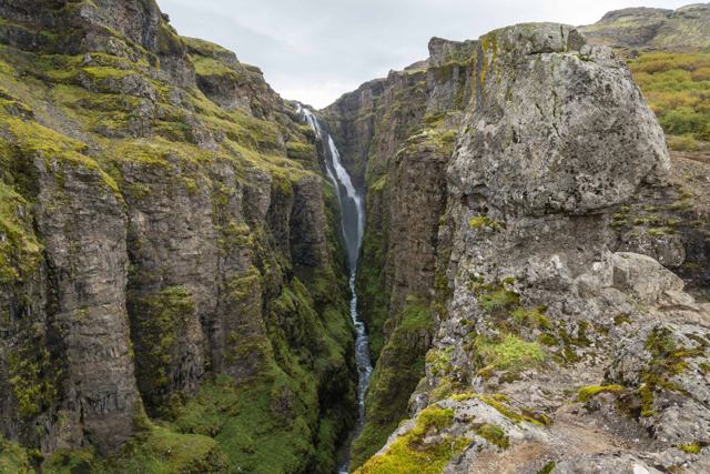
The fjord takes its name from the whales once hunted here, and Iceland's only whaling station still stands on its shore. During the Second World War, Hvalfjörður sheltered Allied naval convoys, and traces of that period remain if you know where to look. Today the main draw is Glymur, at 198 m Iceland's second-tallest waterfall, reached by a hiking trail from the head of the fjord.

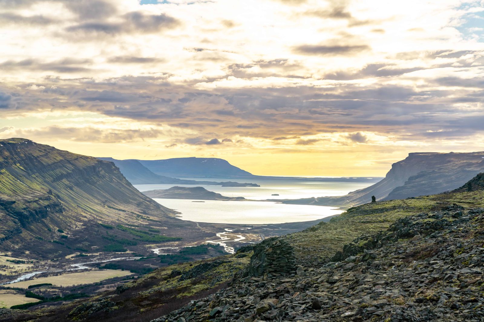
In summer the slopes are green right down to the water, with steep mountains on both sides and very little traffic noise. It is a good place for birdwatching, and seals are sometimes seen from the shore. If you want a calm day close to Reykjavík, this is one of the easiest to arrange.

Quick facts

LengthAbout 30 km
RegionWest Iceland, between Mosfellsbær and Akranes
TunnelHvalfjörður Tunnel, about 5.8 km long, opened 1998, toll-free since September 2018
Scenic routeRoute 47, open all year, about 45 km longer than the tunnel and around an hour slower
Glymur198 m, Iceland's second-tallest waterfall, at the head of the fjord
From ReykjavíkAbout 30 km to the mouth of the fjord; 45 minutes to an hour to the Glymur car park at its head
EntryFree

From whaling station to wartime harbour

Iceland's only whaling station has operated on the shore of Hvalfjörður since the mid-20th century, and the fjord is named after its whales. It was also a major herring ground in earlier decades, which is remembered in the name of the old trail Síldarmannagötur, "the herring men's path".

During the Second World War, Allied forces used the deep, sheltered waters of Hvalfjörður as a naval base and convoy assembly point. Remnants of that wartime infrastructure can still be spotted along the shore, and a small war museum on the north side of the fjord tells the story of the occupation years.

How to get to Hvalfjörður

By car via the tunnelRoute 1 runs through the Hvalfjörður Tunnel under the mouth of the fjord. It takes about 7 minutes, is the fastest way north from Reykjavík, and has been free to use since 2018.
By car around the fjordHeading north from Reykjavík on Route 1, turn right onto Route 47 just before the tunnel. The road follows the shoreline for the full length of the fjord and rejoins Route 1 on the north side of the tunnel. It is the scenic, slower alternative.
To Glymur waterfallFollow Route 47 to the head of the fjord, where a side road leads into Botnsdalur and the Glymur car park. The drive from Reykjavík takes 45 minutes to an hour. From the car park the hike to the top is around 3–4 hours round trip, with a river crossing.

The tunnel has been toll-free since 28 September 2018, so the choice between the two routes is only about time and scenery. Hvalfjörður is less than an hour from Reykjavík and easy to find, but few people drive Route 47, so do not expect much passing traffic if you need help.

Explore around Hvalfjörður fjord

The fjord is more than a drive. These are the stops and walks worth planning time for.

Glymur waterfallGlymur drops 198 m into a narrow, mossy canyon at the head of the fjord. From the car park you walk up along the canyon rim to viewpoints over the falls. Bring your camera; the views back down the fjord are as good as the waterfall itself.
Hiking trailsTwo old routes start at the head of the fjord. Síldarmannagötur leads north over the hills, and Leggjabrjótur leads east towards Þingvellir. Both are long one-way walks over rough, exposed ground, so plan a pick-up at the far end and go only in settled weather.
Birds and sealsThe shoreline and mudflats attract many bird species, especially in spring and summer, and seals are sometimes seen resting near the shore. Stop only where there is room to pull fully off the road.
Whaling station and war historyThe old whaling station stands on the north shore, next to the remains of the wartime naval base. A small war museum nearby covers the years when Allied convoys gathered in the fjord.
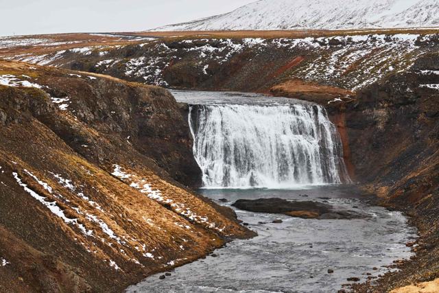
Þingvellir National ParkFrom the south shore, Route 48 crosses to the Þingvellir road, passing Þórufoss on the way. The park lies on the north shore of Þingvallavatn, Iceland's largest natural lake, and combines well with Hvalfjörður in one day.

Stay on marked paths at Glymur. The canyon edges are unfenced and the drop is long.

Best time to visit Hvalfjörður

Summer (June–August)The fjord is green, the days are long and the midnight sun stays over the water late into the night. This is the easiest time to hike to Glymur, with the river crossing at its lowest and the trail clear of snow.
Winter (November–March)The road around the fjord stays open and the snow-covered mountains are worth the drive, but Route 47 sees little traffic and can be slippery. Make sure your rental car has winter tyres and drive slowly. The Glymur trail can be icy and the river crossing unsafe.

You can visit Hvalfjörður all year. In winter, check the weather forecast and road conditions before you set out, pack a warm jacket and boots with good grip, and plan around the short daylight.

Safety and practical tips

  • Budget an extra hour if you take Route 47 instead of the tunnel.
  • The Glymur hike involves a river crossing; bring shoes you don't mind getting wet or a spare pair.
  • Watch for livestock on the road around the fjord.
  • Fuel up before you leave Reykjavík or Akranes, as options along the fjord are limited.
  • In winter, rent a car with winter tyres; the fjord road is quiet and can be icy.
  • Bring warm layers and boots with good grip, even for short walks from the car.
  • Check the forecast on vedur.is and road conditions on umferdin.is before a winter drive.

Facilities and accessibility

There are few services directly on the fjord road. Akranes at the north end and the Reykjavík area at the south end have fuel, shops and restaurants.

On the map

Open in Google Maps →

Nearby places worth a stop

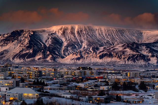
GlymurGlymurIceland's second-tallest waterfall, 198 m, at the head of the fjordAkranesAkranesCoastal town near the north end of the fjordBorgarnesBorgarnesWest Iceland town a short drive further northEsjanEsjanMountain overlooking Reykjavík, near the fjord's mouthÞingvellir National ParkÞingvellir National ParkReached over Route 48 from the south shore of the fjordÞórufossÞórufossQuiet waterfall on Route 48 between Hvalfjörður and Þingvellir

Where to stay near Hvalfjörður

Most visitors see Hvalfjörður as a day drive from Reykjavík, less than an hour away, or as a stop on the way to West Iceland or Snæfellsnes. If you want to stay, there are guesthouses, cabins to rent, a hotel and campsites around the fjord, and more choice in Akranes and Borgarnes. Camping is a good option in summer but too cold for most people in winter.

Hvalfjörður FAQ

Do I have to pay a toll to drive through Hvalfjörður?

No. The tunnel toll was dropped in September 2018, and Route 47 around the fjord has always been free. The fjord road takes about an hour longer than the tunnel.

Is Hvalfjörður worth the detour?

If you have time and want quieter scenery or plan to hike to Glymur, yes; if you are short on time, the tunnel is the practical choice.

How long is the hike to Glymur?

Around 3–4 hours round trip, including a river crossing, on a moderate trail from the head of the fjord.

Is Hvalfjörður open in winter?

The road around the fjord stays open, but the Glymur hiking trail can be icy or the river unsafe to cross.

How do I get onto the road around Hvalfjörður?

Driving north from Reykjavík on Route 1, turn right onto Route 47 just before the tunnel entrance.

Is the road around Hvalfjörður safe in winter?

It is kept open, but it is lightly travelled and can be slippery. Use winter tyres, drive carefully and check the forecast first.

See Hvalfjörður with a local

Tours and trips that include Hvalfjörður, booked directly with a local travel agency in Iceland.
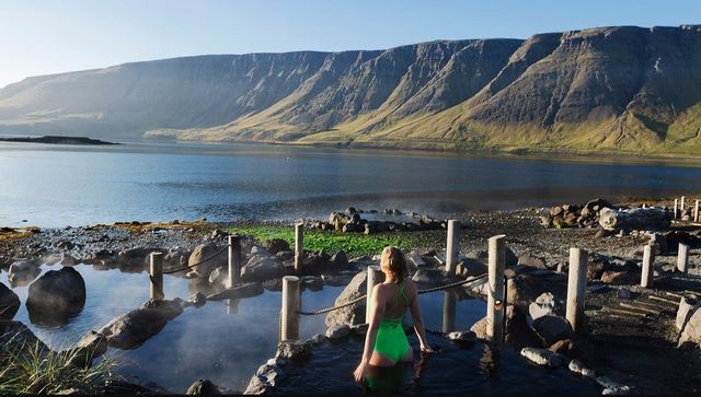
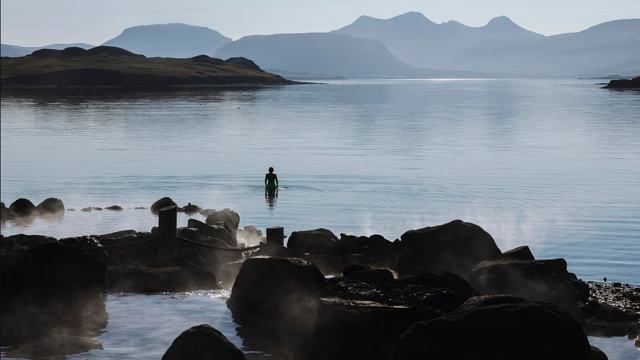
Hvammsvik Hot SpringsDAY TOURHvammsvik Hot SpringsFrom 9,900 ISK per personHvammsvik Hot SpringsDAY TOURHvammsvik Hot SpringsFrom 16,999 ISK per person
More places in West Iceland