Iceland Travel Guide logo Iceland Travel GuideLOCAL TRAVEL AGENCY IN ICELAND My trip Talk to a local
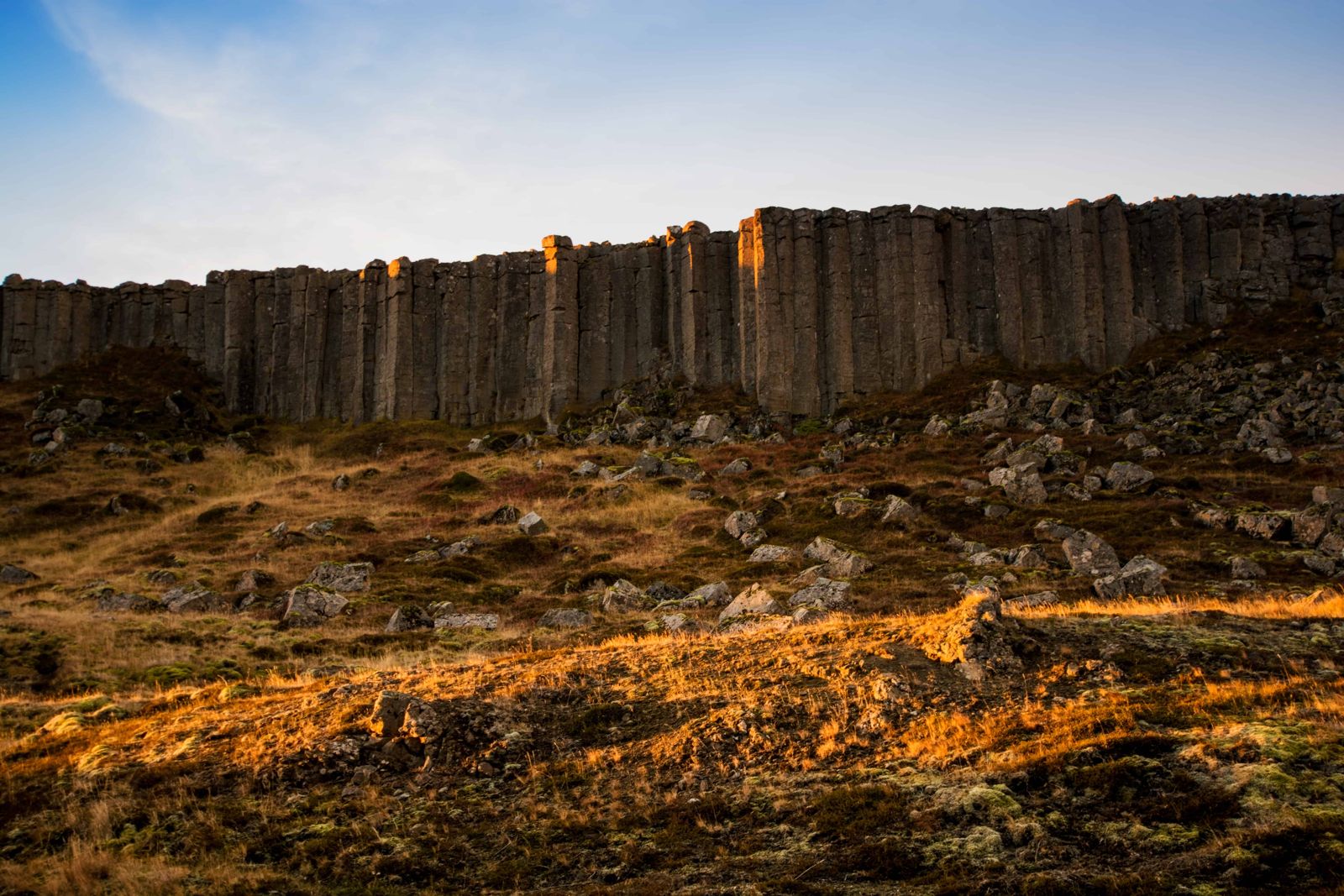
Gerðuberg basalt cliffs

SnæfellsnesBasalt cliffsFree entryOpen all year
GERÐUBERG IN SHORT

Gerðuberg is a wall of regular basalt columns, about 7–14 metres high, on the south side of the Snæfellsnes peninsula beside Route 54. It is about 115 km from Reykjavík, free to visit, open all year, and most people stop for 30–60 minutes.

ON THIS PAGE
Quick factsHistoryGetting thereThe walkBest time to visitSafety tipsFacilitiesMapNearbyWhere to stayFAQ

About Gerðuberg

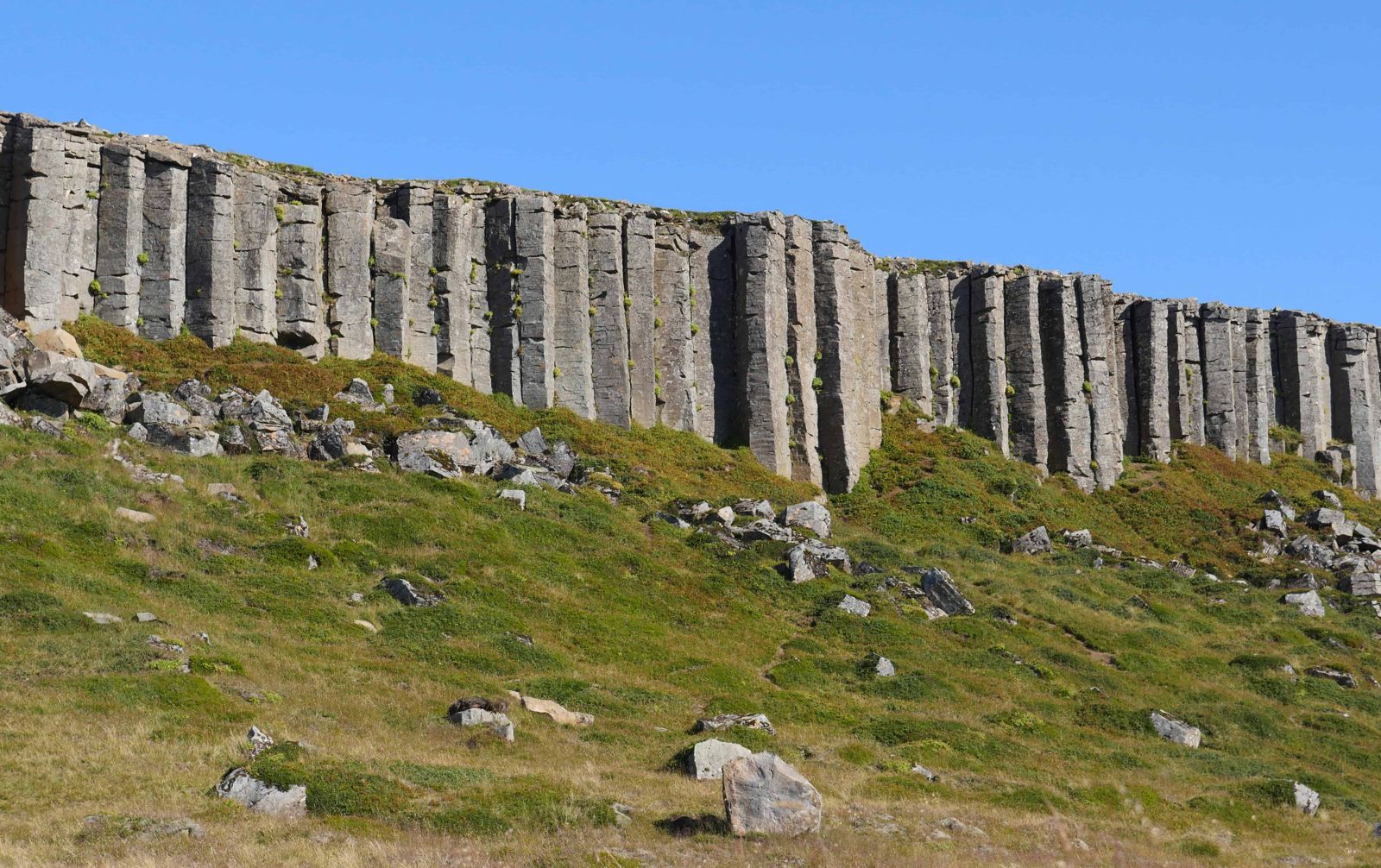
Gerðuberg is a row of hexagonal basalt columns running for roughly half a kilometre. The columns are about 1–1.5 metres wide and 7–14 metres tall, and they stand in a very regular pattern that looks almost built.

What stops people is the symmetry. Hundreds of columns stand side by side like a row of organ pipes, so even that they look hand-carved, and a few of them lean forward as if they were about to fall. The cliffs stand on the western edge of the Hnappadalur valley, 46 km north of Borgarnes.

They formed when a lava flow cooled and cracked into vertical columns. A path leads along the base and up to the top, from where you can look across the lava fields and the coast. It is an easy stop on the way west along Snæfellsnes.

Quick facts

HeightColumns 7–14 m high
WidthColumns about 1–1.5 m wide
LengthAbout half a kilometre
RegionSouth Snæfellsnes, West Iceland
RoadRoute 54, then about 1 km on a gravel side road to the car park
From ReykjavíkAbout 115 km, around 1.5–2 hours by car
From BorgarnesAbout 46 km
EntryFree
ParkingSmall free parking area by the cliffs
Opening hoursOpen all day, all year
Time needed30–60 minutes

How the columns formed

The rock is dolerite, a coarse-grained basalt. When lava cools and shrinks it cracks into vertical columns, often with six sides. The Gerðuberg columns are unusually tall and regular, so they are one of the best examples in Iceland.

The usual explanation is that basalt lava flowed evenly over the land here and cooled slowly, and it is often said that the sea helped to cool it. Slow, even cooling is what makes columns this regular.

Sources describe the lava as roughly 100,000 years old, but ages vary. The area around also has the crater Eldborg and the wide beach at Löngufjörur.

How to get to Gerðuberg

By carDrive to the Snæfellsnes peninsula and follow Route 54 west. The cliffs are on the south side and well signed. Turn off Route 54 onto a gravel side road; it is about 1 km to the small parking area, and an old trail leads from there to the cliffs. Allow about 2 hours from Reykjavík.
On a guided tourSome Snæfellsnes day tours stop at Gerðuberg, but not all do. Check the itinerary.
By public transportBuses run along Snæfellsnes but may not stop at the cliffs. Check the timetable before relying on it.

Walking at Gerðuberg

Along the baseThe best way to see Gerðuberg is to walk along the trail at the foot of the cliffs. From below you see how tall the pillars are, how evenly they are spaced and which ones are leaning.
Up on topA path also leads up to the top, with a view over the lava fields and the coast. If you are short on time, skip it. The cliffs look better from below than from above.
What to wearThe ground is rocky, so wear sturdy shoes with good grip. The weather can be harsh on this open plain. Bring warm clothes, a hat and gloves, and sunglasses for bright days.

Best time to visit Gerðuberg

Summer (June–August)Best weather and the longest days. Easy to walk along the base and up top.
Winter (November–March)Route 54 is usually kept open but can be icy. Days are short and paths are slippery.

Safety and practical tips

  • Do not climb on the columns. Rocks can be loose and slippery.
  • Stay on the path to protect the moss and grass.
  • Wear windproof clothes. It is exposed on top.
  • Bring water and snacks. There are no facilities here.
  • Check road conditions on umferdin.is in winter.

Facilities and accessibility

No facilities at Gerðuberg. The nearest shops, cafés and toilets are in Borgarnes and in the villages along Snæfellsnes.

On the map

Open in Google Maps →

Nearby places worth a stop

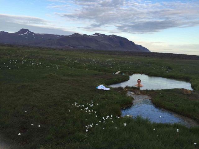
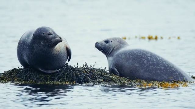
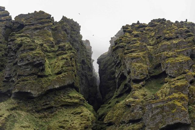
EldborgEldborgCrater nearby, close to Route 54LandbrotalaugLandbrotalaugTiny hot pool near EldborgSturlungalaugSturlungalaugQuiet natural hot spring in the same areaYtri TungaYtri TungaBeach where seals restRauðfeldsgjáRauðfeldsgjáNarrow gorge near ArnarstapiBúðirBúðirBlack church near the seaArnarstapiArnarstapiCliff village with sea archesSnæfellsjökull National ParkSnæfellsjökull National ParkGlacier and coast at the end of the peninsula

Where to stay near Gerðuberg

Stay in Borgarnes, Stykkishólmur, Grundarfjörður or at guesthouses around Arnarstapi. Many people do Snæfellsnes as a long day trip from Reykjavík.

Gerðuberg FAQ

Where is Gerðuberg?

On the south side of Snæfellsnes, beside Route 54, about 115 km from Reykjavík.

How high are the columns?

About 7–14 metres.

Is it free?

Yes, there is no entrance fee and parking is free.

How long should I stay?

30–60 minutes for a walk along the base and up top.

Are there toilets?

No. The nearest are in the villages along Snæfellsnes.

Why are the Gerðuberg columns so symmetrical?

Basalt lava that cools slowly and evenly shrinks and cracks into regular, often six-sided columns. At Gerðuberg the cooling was unusually even, so the columns are very regular.

Should I walk on top of the cliffs or along the bottom?

Along the bottom. The trail at the base gives the best view of the columns; the top is optional.

See Gerðuberg with a local

Tours and trips that include Gerðuberg, booked directly with a local travel agency in Iceland.
Snæfellsnes PeninsulaDAY TOURSnæfellsnes PeninsulaFrom 27,900 ISK per person
More places in Snæfellsnes