Iceland Travel GuideLOCAL TRAVEL AGENCY IN ICELAND
My trip
Talk to a local
Iceland Travel GuideLOCAL TRAVEL AGENCY IN ICELAND
My trip
Talk to a local
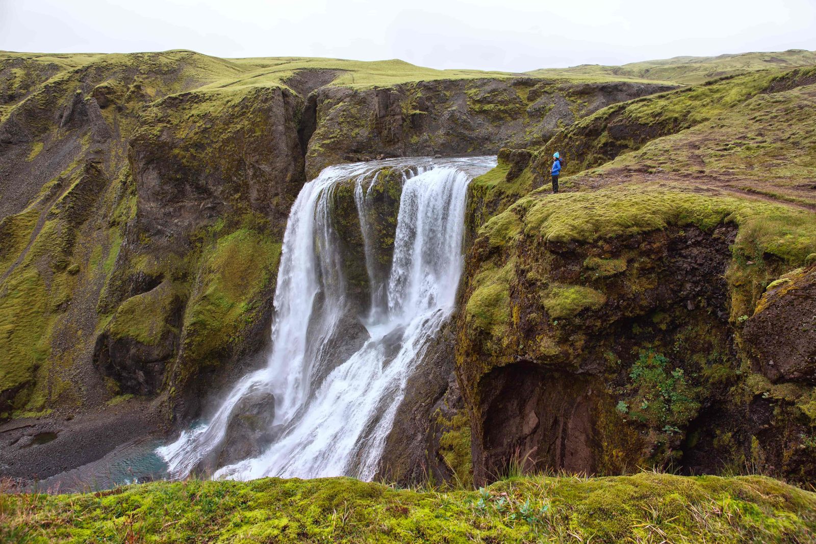
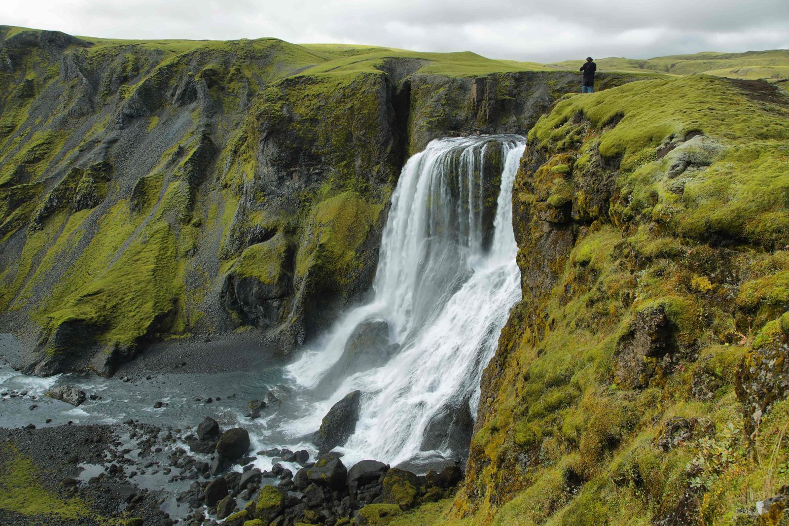
Fagrifoss is a wide waterfall of about 80 m on the Geirlandsá river, beside the F206 highland road that leads to the Lakagígar craters, about 24 km from Kirkjubæjarklaustur and roughly 17 km from the Ring Road. It is free to visit, open only when the F-road is, and reaching it needs a 4x4 vehicle.
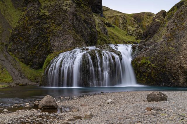
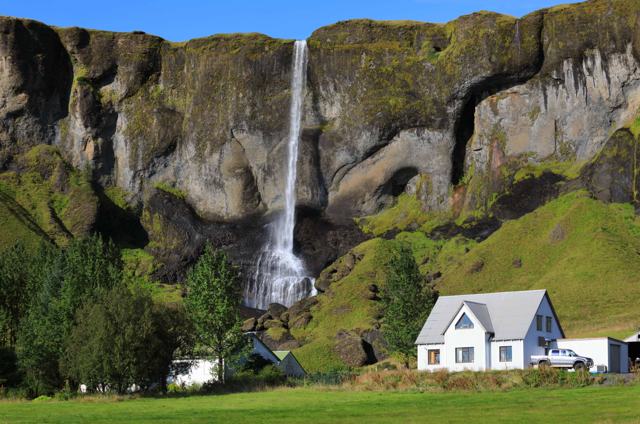
Fagrifoss means "the beautiful waterfall", and it earns the name with a broad, multi-tiered drop framed by columnar basalt, right beside the road on the way into the highlands. It sits close enough to Route 1 to feel accessible, but the F206 is still a genuine F-road, with river crossings that rule out anything but a 4x4.
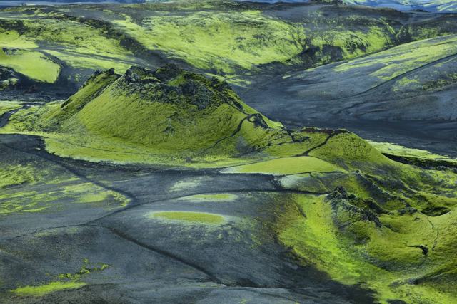
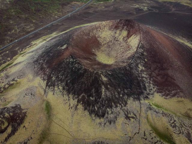
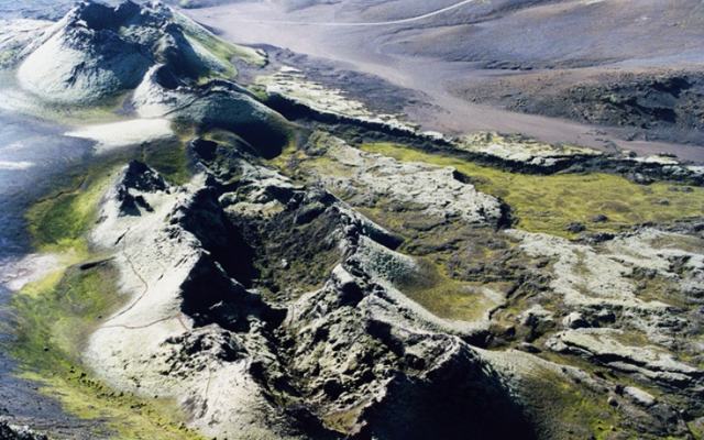
For most visitors, Fagrifoss is the first proper stop on the way to Lakagígar, the craters left by the 1783–84 Laki eruption, one of the most destructive volcanic events in Iceland's history. Even for those not continuing all the way to the craters, it is worth the short detour off the F-road when it is open.
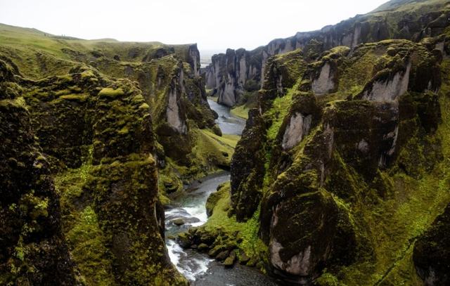
Many of Iceland's big waterfalls are loud and a little intimidating. Fagrifoss is the calm one. You cannot see it from a distance: the falls stay out of sight until you are standing at the edge of the gorge, and then the whole drop is in front of you, set in open highland country in shades of green, brown and black.
It is also a waterfall you have to earn. The destination is quiet; the road to it is the adventure. Icelanders tend to name places for what they look like, and this one was simply called the beautiful waterfall.
F-roads like the F206 are only open in summer, usually from June, depending on snowmelt and river levels, and can close again with little notice. Always check road.is (Vegagerðin/umferdin.is) before setting out.
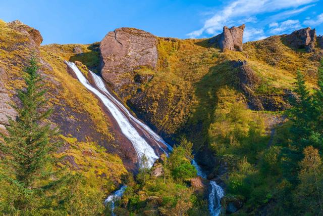
Most well-known Icelandic waterfalls drop in one straight curtain. Fagrifoss does not. The river slides over a smooth brink and then breaks apart, spreading over a series of rock steps before it gathers again in the last part of the gorge. The result is a fan of white water about 80 m high rather than a single plunge.
A viewing platform has been built on the rim so you get a clear look at the whole fall and the bottom of the gorge while staying a safe distance from the edge. There are barriers on the cliff and on the outcrops facing the waterfall. Stay inside them; the ground at the edge is loose and the drop is sheer.
Fagrifoss is in the highlands but only about 17 km from Route 1. The distance is short; the driving is slow.
Do not attempt the F206 in a 2WD car or outside the season when the road is open.
The road is the hard part of this trip. A small, low 4x4 can struggle here; choose a vehicle with proper ground clearance, and check that your rental agreement allows F-roads. Water damage from river crossings is normally not covered by insurance.
The Geirlandsá can rise quickly when it rains. It has happened that people get across in the morning and find the river too high to cross on the way back. Check the forecast before you go, start early, and carry food, water and warm clothes so that a few hours' wait for the level to drop is an inconvenience and not an emergency.
Drive slowly on the rocky sections and check your tyres and spare before you leave Kirkjubæjarklaustur. Phone signal is unreliable in the highlands and there is little traffic late in the day.
Outside summer the F206 is closed, so Fagrifoss is effectively a warm-season stop unless you are on a specialist winter highland tour.
Very little. There is a parking area and a viewing platform at the falls. There may be a simple toilet at the car park, but do not count on it. There is no fuel or food on the F206; stock up in Kirkjubæjarklaustur beforehand.
Kirkjubæjarklaustur is the practical base, with hotels and guesthouses and easy access to Route 1 and the start of the F206.
Yes, the F206 includes a river ford, and a 4x4 is required both legally and practically.
No, the F206 is a highland road that is only open roughly from June to September, depending on conditions.
About 24 km along the F206.
No, it is free to visit.
About 80 metres, which makes it one of the taller waterfalls in Iceland. The water breaks over several steps on the way down.
Turn north off Route 1 onto Route 206 just west of Kirkjubæjarklaustur, continue onto the F206 after about 2 km, and follow it to the falls. The last obstacle is the ford over the Geirlandsá.
Park before the ford and walk about 1 km to the falls, if the river is safe to wade, or join a guided super-jeep tour to Lakagígar that stops at Fagrifoss.
The beautiful waterfall. Fagur means beautiful or fair in Icelandic, and foss means waterfall.
Tours and trips that include Fagrifoss, booked directly with a local travel agency in Iceland.