Iceland Travel GuideLOCAL TRAVEL AGENCY IN ICELAND
My trip
Talk to a local
Iceland Travel GuideLOCAL TRAVEL AGENCY IN ICELAND
My trip
Talk to a local
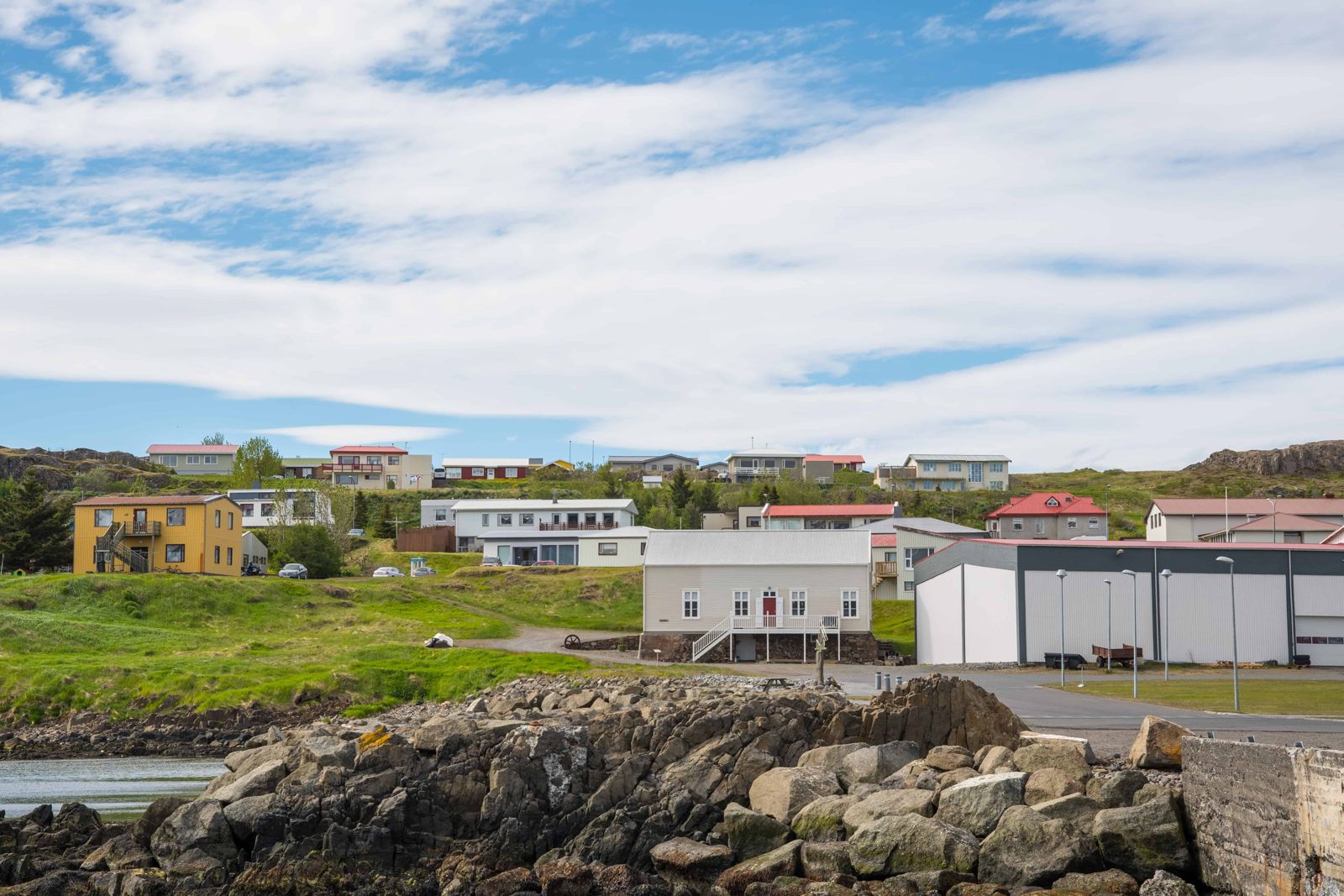
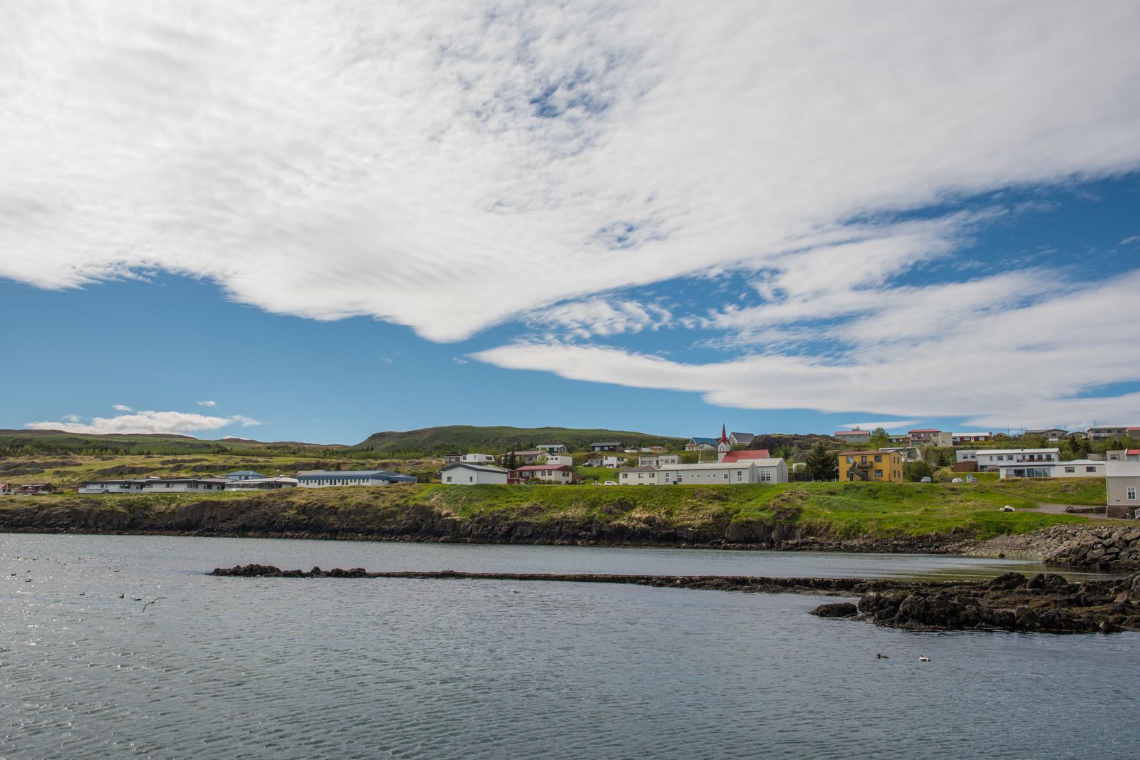
Vopnafjörður is a small fishing village of fewer than 700 people on the northeast coast of Iceland, on a wide fjord of the same name. It is reached by Route 85, about 50 km off the Ring Road, roughly halfway between Mývatn and Egilsstaðir. Visitors come for the emigration museum, the turf farm at Bustarfell, birdlife and quiet scenery.
The village sits on a peninsula in the middle of a wide bay, with mountains around and long views out to sea. Fishing, farming, fish processing and salmon rivers keep the community going, and the Selá and Hofsá rivers are among the best known in Iceland for salmon fishing.
The town is off the main tourist route, which is what makes it appealing. You can spend a few hours visiting the emigration museum in the old customs house, driving to the turf farm Bustarfell, walking to the coast and cliffs, and finishing in a geothermal pool in the countryside. There is no big attraction to tick off, just a real Icelandic community.
The fjord takes its name from an early settler, Eyvindur Þorsteinsson, nicknamed “vopni”, meaning weapon. The area appears in Vopnfirðinga saga, a saga of feuds between local chieftains in the tenth century.
Vopnafjörður was also one of the main departure points for Icelanders who emigrated to North America after the eruption of Askja in 1875, when ash ruined farmland in the east. The Kaupvangur museum, in an old customs house, tells that story. The poor highland farms nearby also inspired Halldór Laxness’s novel Independent People.
Route 85 is a paved main road but the area can see snow and wind from autumn to spring. Check umferdin.is and vedur.is.
These are the places most visitors head for around the village.
Museum hours and pool hours change with the season. Check locally before you drive.
Vopnafjörður is a wide fjord between the headlands of Digranes and Kollumúli, with the bay of Bakkaflói on one side and Héraðsflói on the other. The village stands on a low peninsula that reaches out into the middle of the fjord. For a long time the area was isolated and little noticed, and it still feels a long way from anywhere.
A large glacier filled the bay during the last Ice Age and shaped the mountains and rock formations around it. The shore today is a mix of river mouths, black sand beaches, small islets, coves and sea stacks.
Hofsá is the largest river running into the fjord and one of the best-known salmon rivers in Iceland. Selá and Vesturdalsá also hold salmon. South of the bay rise the Krossavíkurfjöll mountains, and the waterfall Gljúfursárfoss is on the same side of the fjord.
The village has a fuel station, a shop, a campsite, a swimming pool, a nine-hole golf course, a health centre and places to eat. Services are more limited outside summer.
Vopnafjörður has guesthouses, farm stays and a campsite. Many people stay a night on the way between Mývatn and Egilsstaðir.
On the northeast coast of Iceland, about 50 km off the Ring Road along Route 85.
Emigration history, salmon rivers, fishing and the turf farm at Bustarfell.
Fewer than 700.
If you like quiet places and local history, yes. If you are short on time, other parts of the East offer bigger sights.
“Fjord of weapons”, from the nickname of an early settler.