Iceland Travel GuideLOCAL TRAVEL AGENCY IN ICELAND
My trip
Talk to a local
Iceland Travel GuideLOCAL TRAVEL AGENCY IN ICELAND
My trip
Talk to a local
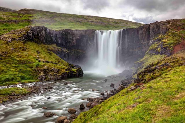
Strútsfoss is a tall, two-step waterfall of about 120 metres in the Suðurdalur valley, near Egilsstaðir in East Iceland. The trailhead is near the Sturluflöt farm at the end of Route 935, and the hike is about 7.5 km return and takes 1.5 to 2 hours. It is free, quiet and best visited in summer.
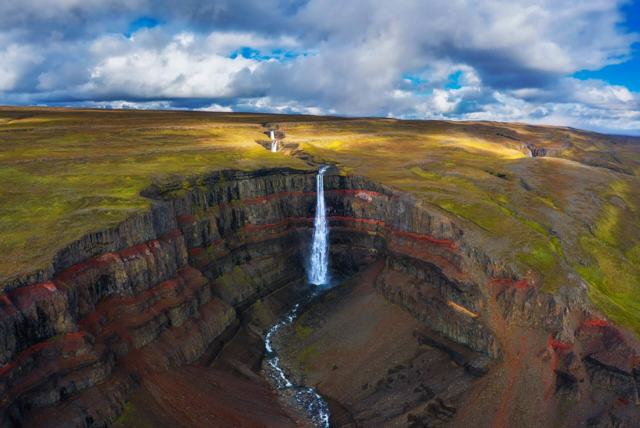
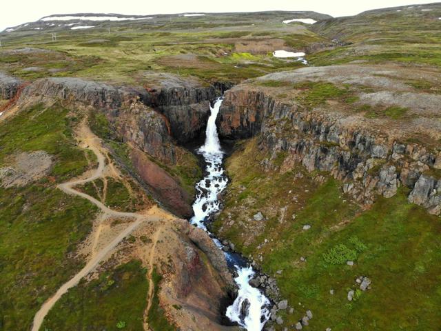
Strútsfoss is one of the tallest waterfalls in Iceland, and it is far quieter than Hengifoss on the other side of Lagarfljót. It is a little-known, hard-to-reach waterfall in the Suðurdalur valley, where the river Strútsá drops in two steps, about 20 metres and then about 100 metres, into the narrow Strútsgil gorge before it joins the Fellsá river. The waterfall is on Iceland's nature conservation register.
The hike starts on an old farm track and becomes a footpath that climbs gently beside the river, with red layers of rock in the cliffs. You do not see the waterfall until you are well into the valley. There is a viewpoint with a visitor logbook near the end of the trail.
The cliffs around the falls are striking in their own right. Layers of grey basalt alternate with thick layers of sediment in red and yellow-brown, and there is pale rhyolite in one place, so the gorge is banded with colour.
Most people stop at the viewpoint. Going further to reach the falls themselves means walking in the creek and crossing the river several times, which can be difficult and dangerous.
The waterfall and the river Strútsá share the word strútur. It is said to mean something that stretches up to its full height, which suits a waterfall this tall. Strútur is also used for the pointed, pyramid-shaped rocks in the gorge.
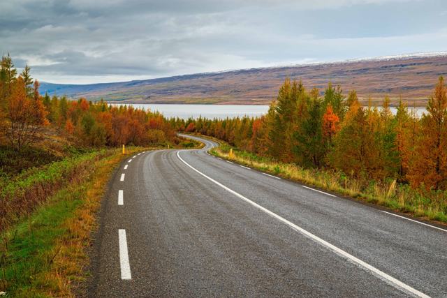
The last part of the road is gravel and can be bumpy. In wet weather or after snow melt the rivers in the valley rise, so check conditions before you go.
The walk is fairly easy but long enough to feel like a small expedition. The walking itself takes about 2 hours there and back. Allow up to 3 with photo stops.
Beyond the viewpoint there is no path. Reaching the foot of the falls means going into the gorge and crossing the river several times, and the current is strong. Leave that to experienced hikers in low water, and be content with the view from a distance.
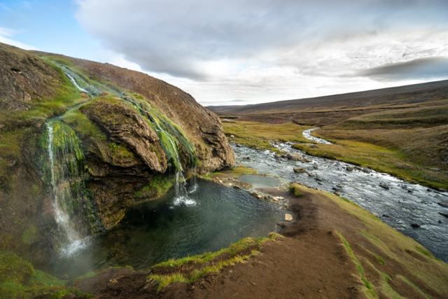
Strútsfoss is not the only waterfall here. The neighbouring river Innri-Þverá falls into the same gorge in a series of cascades, in a rounded, well-like hollow with greenery around it.
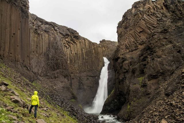
Back down the valley, near the bridge over Lagarfljót, is the best-known waterfall of the area, Hengifoss. At 128 metres it is among the tallest in Iceland, and its name means hanging waterfall. On the same trail you pass Litlanesfoss, framed by some of the longest basalt columns in the country. Doing both hikes makes a full day of waterfalls from Egilsstaðir.
There are no facilities at the trailhead: no toilets, café or shop. The nearest services are in Egilsstaðir and Hallormsstaður.
Egilsstaðir has the widest choice of hotels, guesthouses and a campsite, and is the natural base. Hallormsstaður, on the way, also has a hotel and a campsite.
About 120 metres in total, in two steps: roughly 20 metres for the upper part and 100 metres for the lower.
About 7.5 km return and 1.5 to 2 hours, with a gentle climb of around 270 metres.
The path is easy. The difficult part is getting right to the falls, which involves river crossings and is not advised.
No. The trailhead can be reached by an ordinary car in summer, though the last stretch of gravel road is bumpy.
There are no regular group tours. Most people drive themselves from Egilsstaðir.