Iceland Travel GuideLOCAL TRAVEL AGENCY IN ICELAND
My trip
Talk to a local
Iceland Travel GuideLOCAL TRAVEL AGENCY IN ICELAND
My trip
Talk to a local
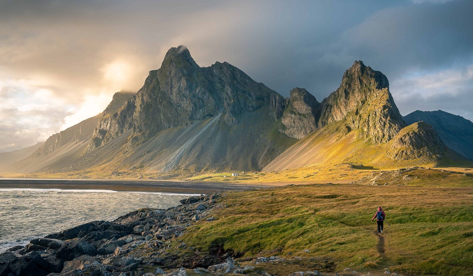
Eystrahorn is a steep coastal mountain of about 756 m in East Iceland, at the eastern end of the Lón lagoon and about 50 km east of Höfn. The Ring Road runs right below it, and a short gravel track leads to parking by the Hvalnes lighthouse. It is free to visit, open all year, and a stop usually takes 30–60 minutes.
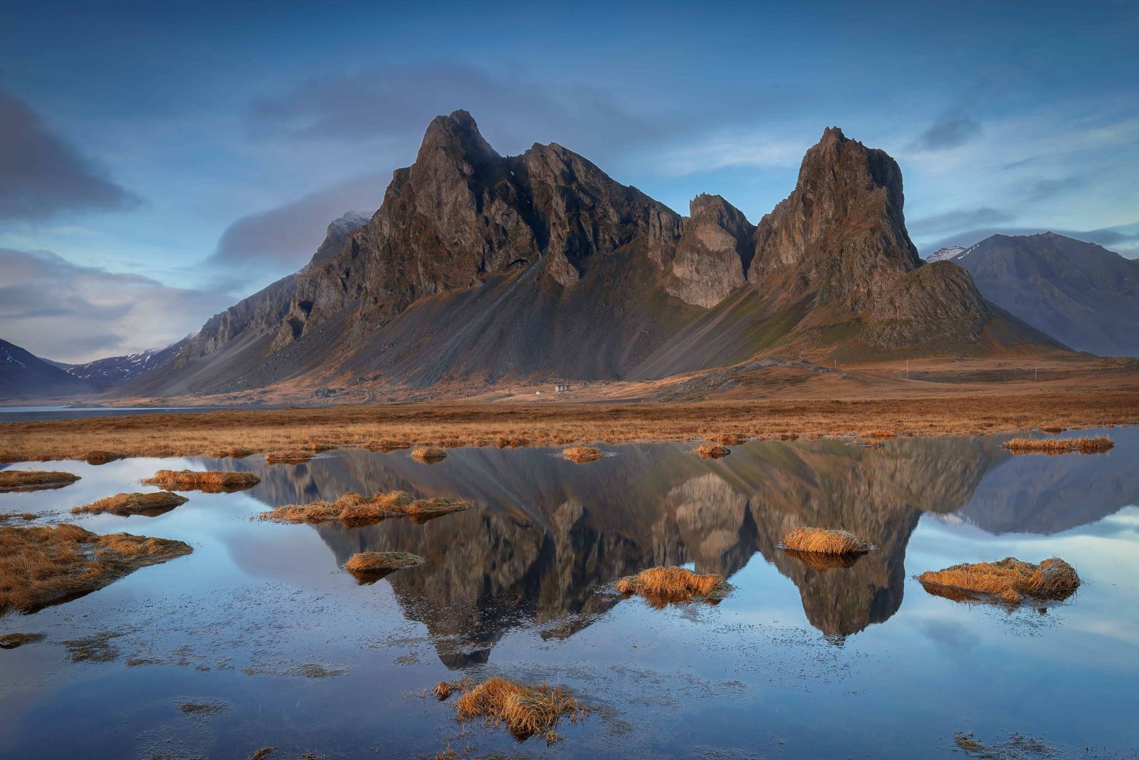
Eystrahorn rises straight from the coast in a cluster of sharp peaks and long scree slopes, with a black beach below and the open North Atlantic in front. It is part of the Krossanesfjall range and is also known as Austurhorn. It is often compared with Vestrahorn at Stokksnes, its better-known twin on the other side of the bay, but it gets a fraction of the visitors and has no entry fee.
Where is Eystrahorn located? It stands on the Hvalnes peninsula in the southeast corner of the country, on the far side of the Lón lagoon from Höfn. That is about 50 km and 40 minutes east of Höfn on the Ring Road (Route 1), roughly halfway to Djúpivogur, and about 500 km from Reykjavík, a drive of 6.5 hours or more. Most people see it on a Ring Road trip with a night in Höfn or Djúpivogur.
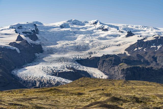
The landscape is the reason to stop. Steep cliffs and gullies drop towards a shore of dark sand and pebbles, and the calm water of Lón lies on one side with the surf on the other. On a clear day you can look back west along the coast towards Vestrahorn and the outlet glaciers of Vatnajökull. The contrast of dark rock and sand with white ice and blue sea is what photographers come for.
This is raw, exposed coast and the weather changes quickly. Low cloud can hide the peaks within minutes, and the wind is often strong. There are no marked trails on the mountain and the slopes are loose scree, so treat Eystrahorn as a place for a coastal walk, birdwatching and photography, not a summit hike.
Like the rest of Iceland, Eystrahorn was shaped by volcanic activity and then by ice. It is not a lava mountain, though. It is made of gabbro and granophyre, coarse rocks that formed when magma cooled slowly deep underground millions of years ago. Glaciers, wind and the sea later stripped away the rock above and carved the steep faces and gullies you see today. Vestrahorn is made of the same kind of rock, which is why the two mountains look alike and so unlike the layered basalt cliffs elsewhere on the coast.
The gabbro is dark, rough and rich in iron and magnesium. Traces of gold, silver and mercury have been found in the mountain, though never enough to mine.
Eystrahorn and Vestrahorn, the eastern and western horns, have long been landmarks for sailors on this rough stretch of coast. The orange Hvalnes lighthouse at the foot of the mountain continues that role. It was built in 1954, lit the following year and stands 11.5 m high.
There are no services between Höfn and Djúpivogur, about 100 km. Fill up before you leave, and check umferdin.is and vedur.is in winter or in strong wind.
Eystrahorn has no marked hiking trails. What it offers is the shore, the lagoon and the light.
Do not try to climb the mountain. The slopes are steep, loose scree and there is no route.
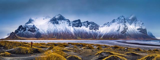
Vestrahorn, at Stokksnes just east of Höfn, is one of the most photographed mountains in Iceland. It stands above black dunes on private land, so there is an entry fee. Eystrahorn is roughly 40 km further east, free, and much quieter. The two are made of the same rock and share the same jagged outline.
If you have time, see both. Visit Stokksnes from Höfn, then drive on across Lón to Eystrahorn. If you want the mountain without other people in the frame, Eystrahorn is the better choice.
Sunrise and sunset are considered the best times for photography here, as at Vestrahorn by Stokksnes.
None at the site: no toilets, shop or café. The nearest services are in Höfn, about 50 km west, and Djúpivogur, about 50 km north-east.
Höfn is the practical base for visiting Eystrahorn, with the widest choice of accommodation, restaurants and services in the area. Djúpivogur is a smaller alternative if you are heading north.
On the Hvalnes peninsula in East Iceland, at the eastern end of the Lón lagoon. It is about 50 km east of Höfn on the Ring Road and roughly halfway to Djúpivogur.
No. Unlike Stokksnes and Vestrahorn, there is no entry fee at Eystrahorn.
It is the same kind of steep gabbro mountain on the coast, but far less visited and free. Vestrahorn has the black dunes in front. Eystrahorn has the lighthouse, the beach and the Lón lagoon.
About 50 km, around 40 minutes by car on Route 1.
There are no marked trails and the slopes are steep, loose scree, so climbing is not advised. Most visitors walk the beach and the lighthouse point.
About 756 metres.
No. The Ring Road is paved and the short gravel track to the lighthouse is generally fine for ordinary cars in good conditions.
Yes, on clear, dark nights from about September to April. There is no light pollution, but you need a clear sky and safe road conditions.
Tours and trips that include Eystrahorn, booked directly with a local travel agency in Iceland.