DYRFJÖLL IN SHORTDyrfjöll (“the door mountains”) is a mountain range in East Iceland, near Borgarfjörður eystri, with a peak of 1,136 metres and a famous gap, the “door”, in the middle. The best-known walk is to the boulder valley Stórurð, about 7.5 km one way from Vatnsskarð, taking about 2.5–3 hours each way. The hiking season runs from about mid-July to early autumn.
About Dyrfjöll
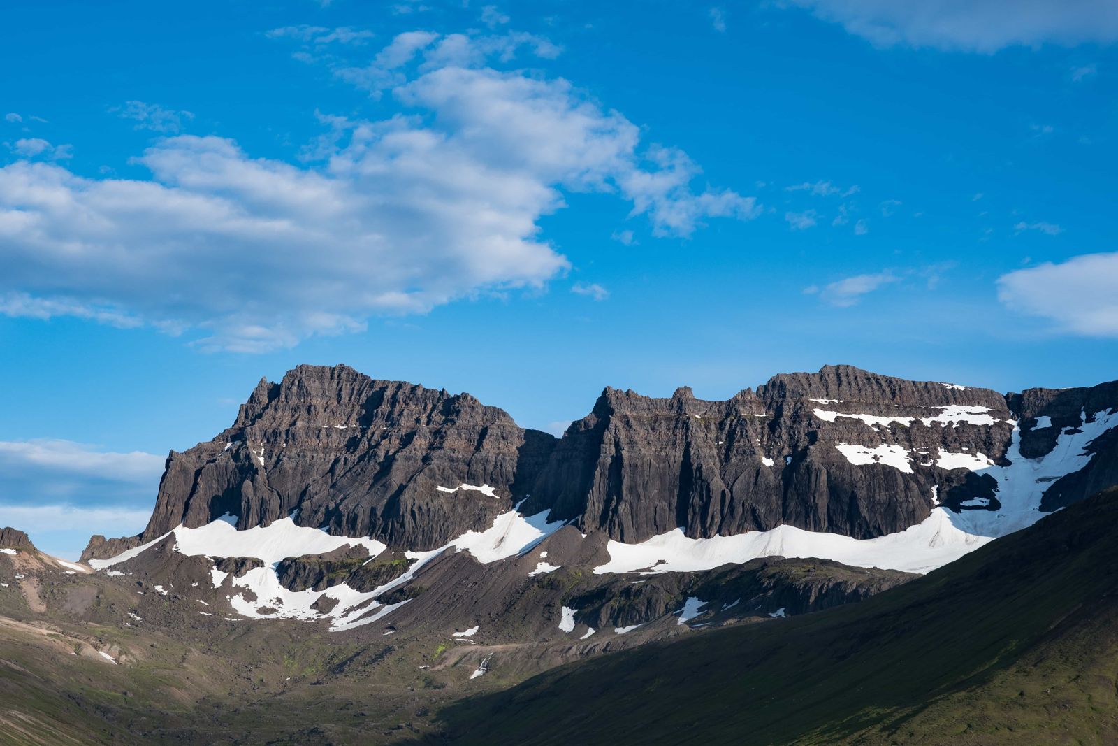
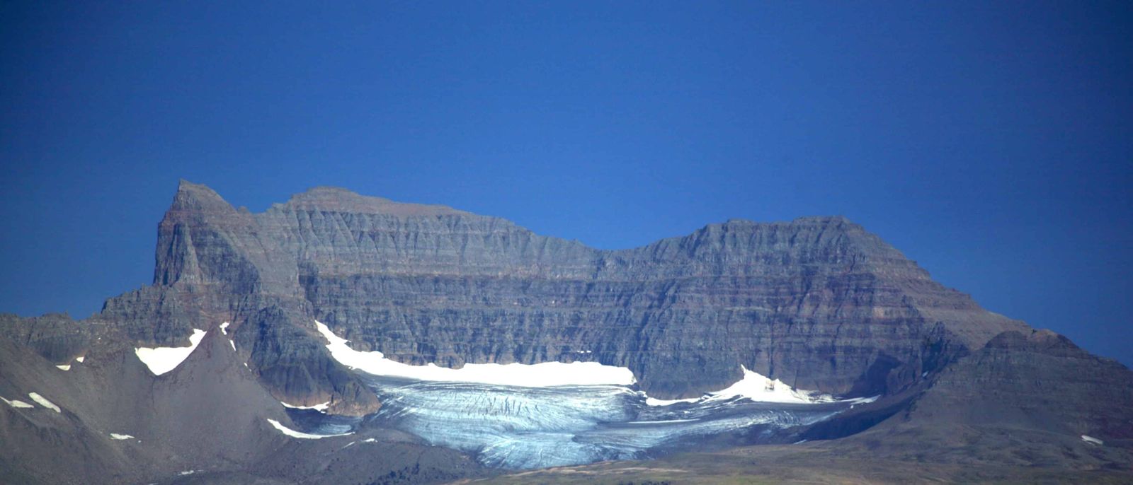
Dyrfjöll is easy to recognise. A big gap about 856 metres high splits the mountain, so the range looks like a doorway, and that gives it the name. The mountain is an old volcano, and glaciers during and before the last Ice Age wore away the weaker rock and left steep vertical walls.
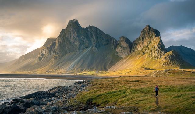
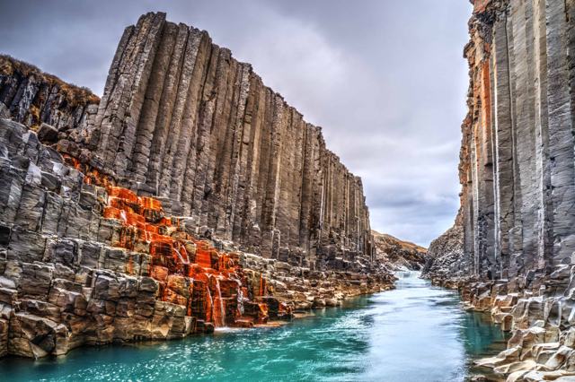
Most visitors see Dyrfjöll on the road to Borgarfjörður eystri, or by walking to Stórurð at its foot. Stórurð is a valley filled with huge boulders left by glaciers, with blue-green ponds and green meadows between them, and the jagged peaks above. It is one of the best day hikes in East Iceland. Climbing Dyrfjöll itself is for experienced hikers only, and needs a guide.
The range stands between the fjord Borgarfjörður eystri and the Fljótsdalshérað district. Stórurð lies on the west side of the mountains, in the valley Urðardalur, and most people reach it over the Vatnsskarð pass.
Quick facts
Highest peak1,136 m
The “door”A gap about 856 m high in the middle of the mountain
TypeOld volcano shaped by glaciers
AgePart of a central volcano about 10–12 million years old
RegionEast Iceland, near Borgarfjörður eystri
Hike to StórurðAbout 7.5 km one way, around 2.5–3 hours each way from Vatnsskarð
ClimbingAbout 320 m of ascent; high point about 630 m on Geldingafjall
TrailheadVatnsskarð, by Vatnsskarðsvatn lake, on Route 94
Trailhead GPS65.5647, -14.0022 (Vatnsskarð car park)
From EgilsstaðirAbout 50 minutes by car to the trailhead
EntryFree
Best seasonAbout mid-July to early autumn
The door and the Yule Lads
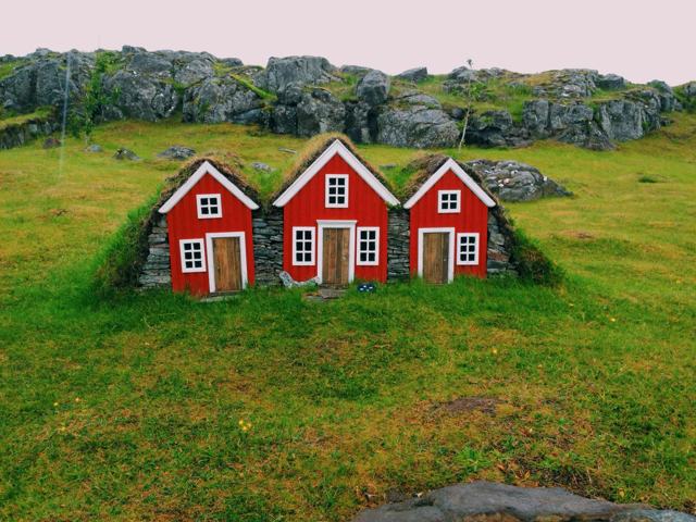
Icelandic folklore has stories of Dyrfjöll, and local people say Grýla and her sons, the Yule Lads, live in these mountains. The tale is told to children before Christmas.
Geology gives another explanation. Dyrfjöll was part of a large central volcano with a caldera, active some 10 to 12 million years ago, and glaciers later carved it, cutting away the weakest rock. The boulders at Stórurð are blocks of hyaloclastite tuff and volcanic breccia that fell onto the ice and were carried down the valley, then left behind when the glacier melted at the end of the last Ice Age, roughly 10,000 years ago.
How to get to Dyrfjöll
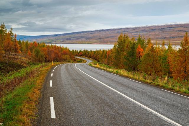
By carDrive Route 94 (Borgarfjarðarvegur) from the Ring Road near Egilsstaðir over the Vatnsskarð pass toward Borgarfjörður eystri. The Stórurð trail starts at the pass, by Vatnsskarðsvatn lake, about 50 minutes from Egilsstaðir.
On footFive marked trails reach Stórurð, including two from Borgarfjörður eystri. The most popular route starts at Vatnsskarð and is about 7.5 km one way.
On a guided tourLocal guides lead hikes to Stórurð and climbs of Dyrfjöll in summer. Check for a hike that suits your fitness.
By public transportThere is no regular public transport to the trailhead. A car or a guided trip is the practical choice.
The roads to the East Fjords can be difficult in bad weather, especially over mountain passes such as Vatnsskarð. Check umferdin.is and vedur.is before you go.
Hiking to Stórurð
Stórurð is the walk most visitors come for. It is a long day but not technical in good weather.
TrailFrom the Vatnsskarð car park the path climbs gently onto the mountain, then descends into the Stórurð valley. Allow about 2.5–3 hours each way, and 4–5 hours for the round trip with time to look around.
What you seeBig boulders scattered across green meadows, small ponds in blue and green, narrow passages between rocks, and the Dyrfjöll walls above.
Best seasonAbout mid-July to early autumn. Snow can lie above 400 metres into summer, so check conditions.
Deep holes can hide between the rocks at Stórurð, so keep to the marked circuit. Mobile coverage is unreliable, so tell someone your plan before you set off.
Step-by-step guide to the hike from Vatnsskarð
There are several places to start the walk, and you can pick one to suit the direction you arrive from. Most hikers start at Vatnsskarð, and that is the route described here.
Step 1: The car park at VatnsskarðPark at the top of the pass on Route 94, near the lake Vatnsskarðsvatn (GPS 65.5647, -14.0022). Parking is free. There are toilets by the viewpoint at the pass and information boards about the trails and nature of the area. Use them, since there is nothing on the trail.
Step 2: Warm up and climb GeldingafjallThe trail starts by climbing the hill above the pass, Geldingafjall, to about 630 metres. This is the steepest stretch of the day. Warm up first and start slowly, because there is a long walk ahead.
Step 3: Along the ridgeThe path follows a rocky ridge with gentle ups and downs. Look north to Héraðsflói bay and the Lagarfljót river, east into Njarðvík, and south into the valley Dyrfjalladalur. On clear days you can pick out Snæfell and Herðubreið far inland.
Step 4: The Door comes into viewThe closer you get, the better the view of Dyrfjöll, with the gap of the Door and the steep dark walls against the sky.
Step 5: Down into StórurðWhere the ridge ends, the path drops about 100 metres into Urðardalur. Huge boulders lie all over the valley floor with a stream running between them, and the turquoise ponds appear once you are among the rocks. Walk the marked circuit, then return the same way.
The older version of this page gave about 8 km and three to four hours to reach Stórurð. Fit walkers do it in 2.5–3 hours, but allow up to 6 hours for the round trip with breaks if you are unsure of your pace.
Best time to visit Dyrfjöll
Summer (mid-July–August)The main hiking season, with snow gone from most of the trail and long daylight.
Autumn (September–October)Fewer hikers and autumn colours, but colder, shorter days and a chance of early snow.
Winter and spring (November–June)Snow and ice cover the trails. The mountain is for experienced winter travellers only.
Safety and practical tips
- Check the weather forecast before you set off. It can change fast, and fog is common on the pass.
- Warm up before you start and take the first climb slowly. It keeps sprains away and saves energy for the way back.
- Bring wind and waterproof clothing, extra warm layers, food, water and sturdy boots.
- Stay on the marked trail at Stórurð because of hidden holes between the rocks.
- Do not attempt Dyrfjöll’s ridge without an experienced guide.
- Leave your route with someone or register on safetravel.is.
Facilities and accessibility
There are toilets and information boards at the Vatnsskarð trailhead, but no shops or services on the mountain. The village of Borgarfjörður eystri has a café, food and lodging, and Egilsstaðir has fuel and supermarkets.
Nearby places worth a stop
Where to stay near Dyrfjöll
The village of Borgarfjörður eystri has guesthouses and a campsite, and Egilsstaðir has hotels, guesthouses and farm stays. Staying in the village gives you an early start for the hike.
Dyrfjöll FAQ
What does Dyrfjöll mean?
“Door mountains”, named after the big gap in the middle.
How long is the hike to Stórurð?
About 7.5 km one way from Vatnsskarð, about 2.5–3 hours each way.
When can I hike Stórurð?
Generally from mid-July until the first significant snow in autumn.
Can I climb Dyrfjöll?
Only if you are an experienced hiker and preferably with a guide. The ridge route is demanding.
How far is it from Egilsstaðir?
About 50 minutes by car to the trailhead at Vatnsskarð, on Route 94.
 Iceland Travel GuideLOCAL TRAVEL AGENCY IN ICELAND
My trip
Talk to a local