Iceland Travel Guide logo Iceland Travel GuideLOCAL TRAVEL AGENCY IN ICELAND My trip Talk to a local
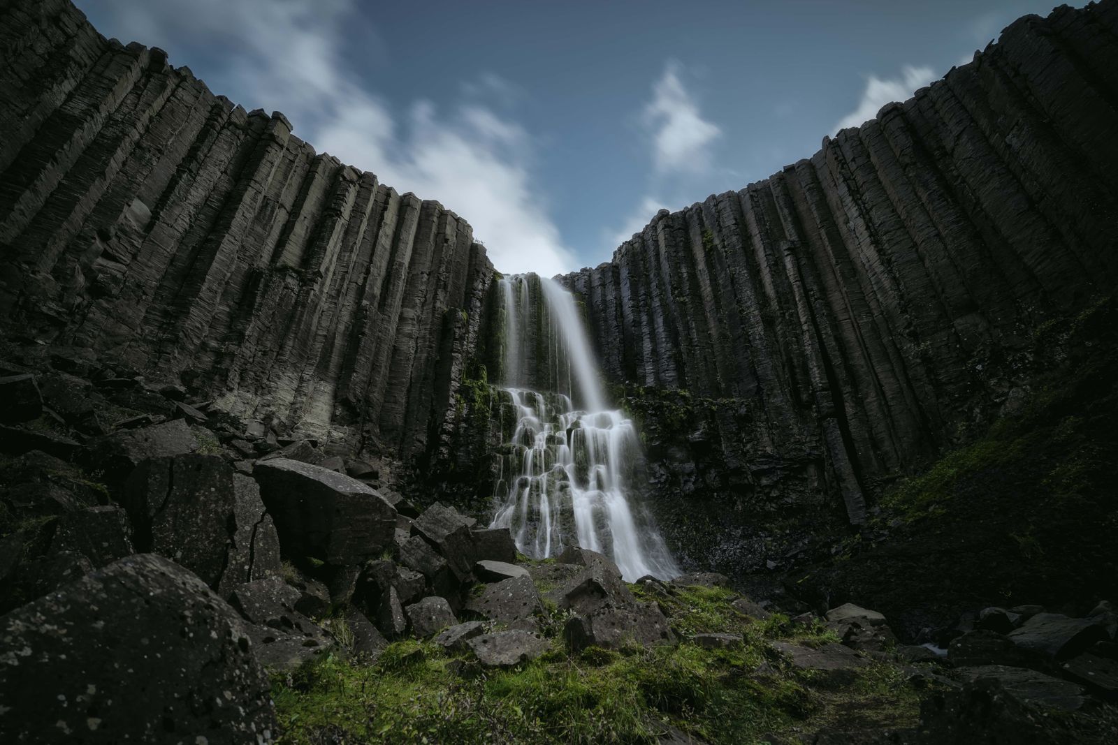
Stuðlafoss basalt column waterfall

JökuldalurWaterfallFree entryOpen all year
STUÐLAFOSS IN SHORT

Stuðlafoss is a waterfall framed by basalt columns in Jökuldalur, East Iceland, reached on foot along the trail towards the famous Stuðlagil canyon. It is about 70 km from Egilsstaðir (around an hour's drive), free to visit, open all year, and involves an easy walk of roughly 2 km one way from the bridge at Klaustursel farm. Allow a few hours if you plan to continue on to Stuðlagil itself.

ON THIS PAGE
Quick factsHistoryGetting thereThe hikeBest time to visitSafety tipsFacilitiesMapNearbyWhere to stayFAQ

About Stuðlafoss

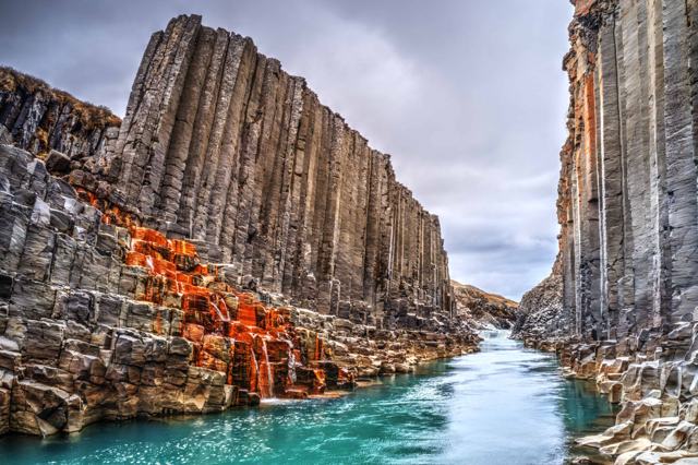
Stuðlafoss is on a side stream on the eastern side of the Jökla river (Jökulsá á Brú) in Jökuldalur, a valley in East Iceland. Like the nearby Stuðlagil canyon, it takes its name from the neat, hexagonal basalt columns lining the riverbanks here, formed as thick lava flows cooled slowly and cracked into columns.

The area became far better known after the Kárahnjúkar hydroelectric project took most of the glacial water out of the Jökla, which lowered the river and showed the basalt columns in the canyon more clearly than before. Many visitors treat Stuðlafoss as a stop on the walk in towards Stuðlagil canyon itself, rather than a separate destination, since the trail from the Klaustursel side passes it on the way.

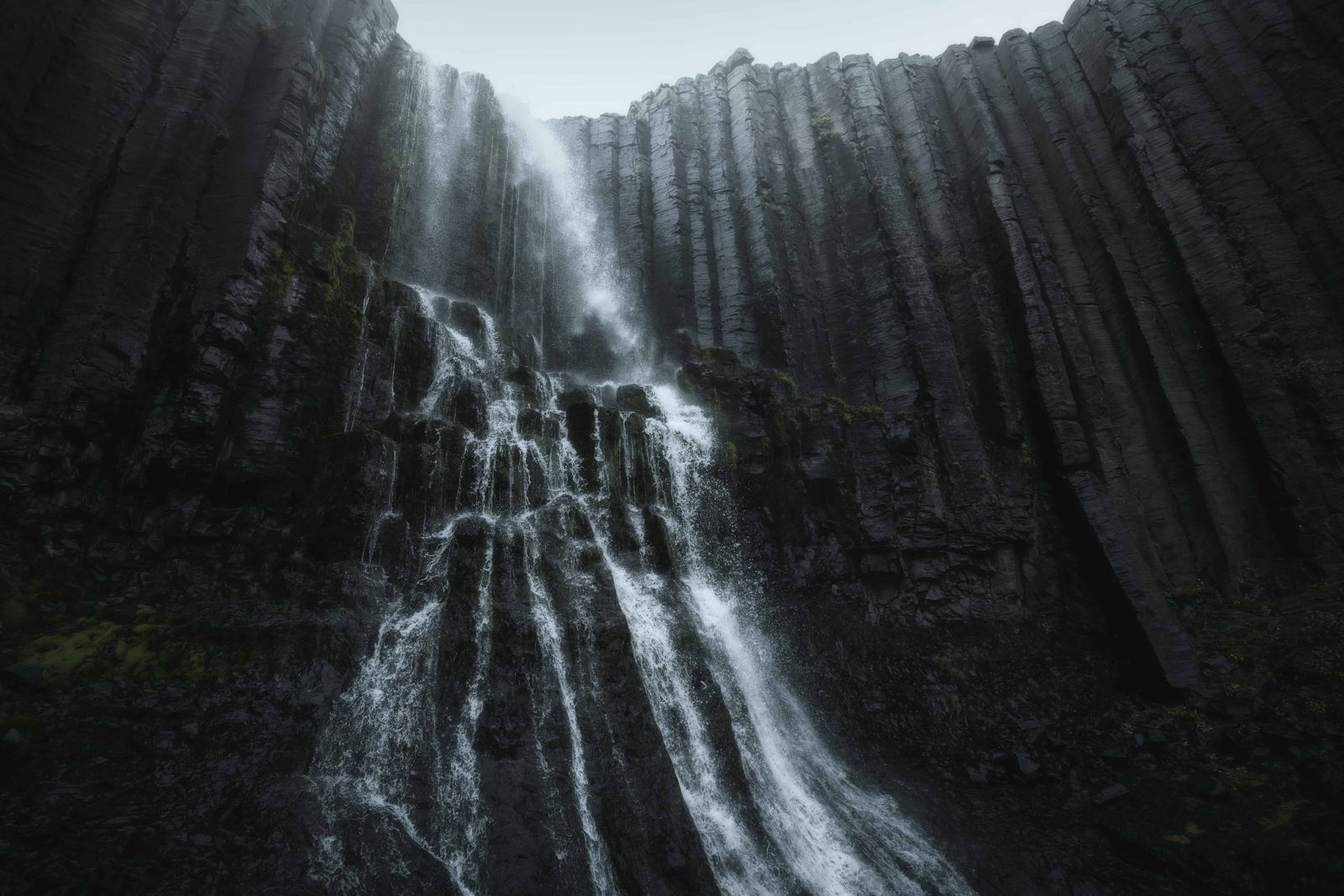
The water drops over a wall of tall columns, with shorter columns stacked neatly in front and bright green vegetation at the base in summer, so it suits a wide photograph. There are two waterfalls called Stuðlafoss in East Iceland. This guide is about the one in Jökuldalur, next to Stuðlagil. Online maps do not always show it, so use the GPS point below.

Quick facts

GPS65.17307, -15.27838
RegionEast Iceland, Jökuldalur valley
RiverA side stream that runs into the Jökla (Jökulsá á Brú)
From EgilsstaðirAbout 70 km, around 1 hour by car to the Klaustursel bridge
EntryFree
Opening hoursOpen all year, day and night
Time neededAbout 1–1.5 hours return to the falls; allow a few hours if continuing to Stuðlagil canyon
AccessRing Road to Skjöldólfsstaðir, 14 km on gravel Road 923 to the Klaustursel bridge, then an easy trail of about 2 km one way

A canyon uncovered by a dam

For most of Iceland's history, the Jökla river ran thick with glacial sediment, hiding the basalt columns along its banks. When the Kárahnjúkar hydroelectric power plant was completed in 2009, much of the river's flow was diverted, and the water running past Stuðlafoss and through Stuðlagil canyon became far clearer. Photographs of the newly visible turquoise water and basalt columns went viral in 2017, turning what had been a little-known valley into one of East Iceland's most photographed spots.

How to get to Stuðlafoss

By carFrom Egilsstaðir, take Route 1 (the Ring Road) to Skjöldólfsstaðir in Jökuldalur. Just past it, turn left onto Road 923 and follow this bumpy gravel road for about 14 km to the bridge over the Jökla. The farm Klaustursel is on the far side of the river.
ParkingYou can drive over the bridge and about 2 km along a rough track to a second car park beside Stuðlafoss. The track is rutted, so a car with good ground clearance is advised. If you are in doubt, park at the bridge and walk. Parking is paid in the Parka app, about ISK 1,000 per car.
Hiking thereFrom the second car park, Stuðlafoss is right beside you. From the bridge, an easy trail follows the east bank upstream for about 2 km to Stuðlafoss. We recommend carrying on along the same trail to the Stuðlagil canyon viewpoints.
By public transportThere is no public transport to the trailhead, so a car is needed.

Road 923 is gravel and can be rough in places. The viewing platform on the west side of Stuðlagil, at the farm Grund, is further along the same road, but that side does not pass Stuðlafoss.

Step-by-step guide to the Stuðlafoss hike

The walk is easy and mostly flat, on a track and footpath along the east bank of the Jökla.

Step 1: Road 923 to the bridgeLeave the Ring Road just past Skjöldólfsstaðir and drive about 14 km on Road 923 to the bridge at Klaustursel.
Step 2: Cross the JöklaCross the narrow bridge to the east riverbank, where the hiking trail starts.
Step 3: Walk to StuðlafossFollow the trail for about 2 km. The waterfall comes into view on the hillside side of the trail, falling over a cliff of basalt columns. Take time for a panoramic photo with the columns on both sides.
Step 4: Carry on to StuðlagilKeep going on the same trail until you reach Stuðlagil canyon, then return the same way.

Mornings are quieter and the weather is often calmer. The rock around the falls is slippery after rain.

Best time to visit Stuðlafoss

Summer (June–August)The easiest time to visit, with the clearest water and the busiest trail.
Winter (November–March)The trail can be icy and the gravel road harder to drive. Good boots and daylight planning matter more at this time of year.

Safety and practical tips

  • Wear proper hiking boots; the trail is easy but uneven in places.
  • Bring crampons in winter, as the path can ice over.
  • Combine the walk with Stuðlagil canyon further along the same trail if you have time.
  • You can drive over the bridge to a second car park beside Stuðlafoss, but the track is rough. If in doubt, park at the bridge and walk.
  • Check road conditions for Road 923 before setting out, especially outside summer.
  • Pick a clear day if you can. Low cloud hides the top of the falls.
  • Go in the morning for fewer people on the trail.

Facilities and accessibility

None at the falls or trailhead. The nearest services are in Egilsstaðir.

On the map

Open in Google Maps →

Nearby places worth a stop

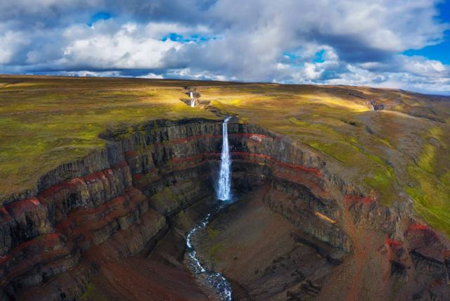
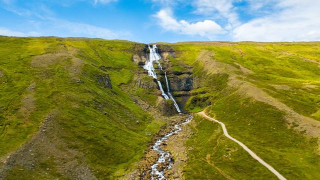
Stuðlagil canyonStuðlagil canyonThe basalt-column canyon further along the same trailEgilsstaðirEgilsstaðirThe regional hub, about an hour's drive awayHengifossHengifossOne of Iceland's tallest waterfalls, in the same regionRjúkandiRjúkandiWaterfall beside the Ring Road in Jökuldalur

Where to stay near Stuðlafoss

Egilsstaðir is the natural base for this area, with the widest choice of hotels and guesthouses in East Iceland.

Stuðlafoss FAQ

Is Stuðlafoss the same as Stuðlagil canyon?

No, they are nearby but different: Stuðlafoss is a waterfall on the trail that leads on to the Stuðlagil canyon viewpoints.

Is Stuðlafoss free to visit?

Yes, there is no entry fee.

How long is the walk?

About 2 km one way from the Klaustursel bridge, an easy walk of 1–1.5 hours return to the falls.

Can I drive across the bridge at Klaustursel?

Yes. A rough track leads about 2 km from the bridge to a second car park beside Stuðlafoss, and a car with good ground clearance is advised. If you are unsure, park at the bridge and walk.

Where is Stuðlafoss?

In Jökuldalur in East Iceland, at GPS 65.17307, -15.27838, about 2 km along the east-bank trail from the Klaustursel bridge on Road 923.

How far is Stuðlafoss from Egilsstaðir?

About 70 km, or roughly an hour by car, the last 14 km on gravel Road 923.
More places in East IcelandWaterfalls in Iceland