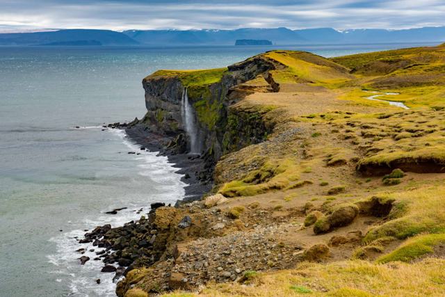
KÁLFSHAMARSVÍK IN SHORTKálfshamarsvík is a small cove on the northern coast of the Skagi peninsula in North Iceland, known for its basalt columns, a white lighthouse and the ruins of an old fishing settlement. It is about 25 km north of Skagaströnd, on gravel road 745, which continues from Route 74, is free to visit and is open all year, though summer is much easier. A short walk takes 15–20 minutes.
About Kálfshamarsvík
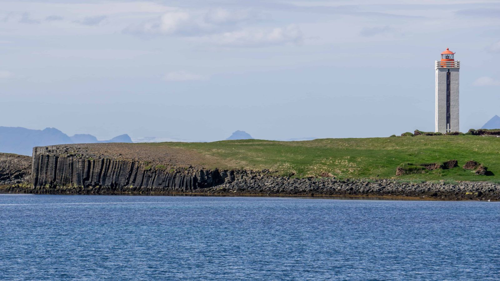
The columns at Kálfshamarsvík are among the best in North Iceland. They formed roughly two million years ago as lava cooled and cracked into hexagonal shapes, and the sea has worn them into stacked pillars, small caves and ledges along the coast. A white lighthouse, 16 m tall and finished in 1940, stands on the headland, with its design inspired by the surrounding basalt.
A short, grassy loop of about 1 km takes you past the columns, the lighthouse and the ruins of houses and huts. In the early 20th century a fishing community of around 100 people lived here, and the settlement was abandoned by the 1940s. Signs explain what stood where.
It is far off the Ring Road, so it is quiet. Do not expect facilities. Bring what you need and enjoy the sound of the sea.
Quick facts
TypeCoastal basalt columns and old fishing settlement
Age of the columnsAbout 2 million years
LighthouseKálfshamarsviti, 16 m, completed 1940 and lit in 1942
RegionNorthern coast of the Skagi peninsula, North Iceland
RoadRoute 74 from the Ring Road to Skagaströnd, then gravel road 745 (Skagavegur) for about 25 km
From SkagaströndAbout 25 km, 20–25 minutes on gravel
WalkShort loop of about 1 km, 15–20 minutes
EntryFree
Opening hoursOpen all year
FacilitiesParking area and rest spot; no toilets or café
Best seasonSummer
A fishing station on the edge
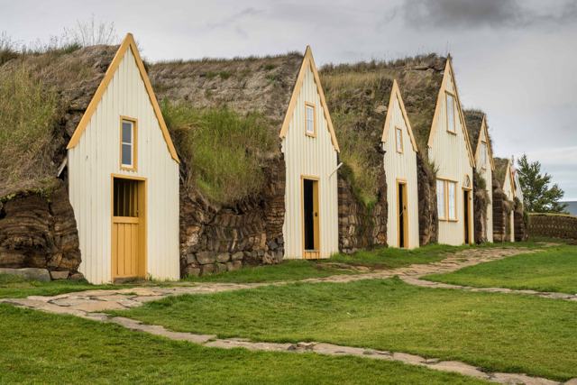
Around 1900 there was a busy fishing station here, and by the early 20th century about 100 people lived in the cove. The catch was landed on the rocky shore, and the community lived in small turf-and-stone houses.
The settlement faded and was abandoned by the 1940s. Ruins remain, and information signs on the site explain the history.
How to get to Kálfshamarsvík
By carTake the Ring Road (Route 1) to North Iceland. Just north of Blönduós, turn north onto Route 74 and follow it to Skagaströnd. From there keep going north on gravel road 745 (Skagavegur) for about 25 km, 20–25 minutes, until you see the lighthouse on your left and the sign for Kálfshamarsvík. The gravel is usually fine for a normal car, but watch out for potholes and loose stones.
By public transportThere is no public transport to Kálfshamarsvík. You need a car.
On a guided tourVery few tours come here, so a rental car is the usual way. Ask a local travel agency if you want it as part of a self-drive plan in North Iceland.
ParkingThere is a fairly large, free parking area at the start of the walk.
The road is lightly used and not well maintained in winter, so expect snow and ice from October to April. Check umferdin.is and vedur.is before you go.
Explore around Kálfshamarsvík
The cove is small, so take your time. Then make a day of it with the other stops in this corner of North Iceland.
The history walkInformation signs, some of them mounted on basalt columns, stand by the ruins of the old fishing village. They show which building stood where and who lived in it, so you can follow the settlement house by house as you walk the loop.
PhotographyThe columns, the white lighthouse and the green headland against the sea make this a rewarding place for photos. Low evening light in summer brings out the shapes of the basalt. A local guide who knows the cove can point you to the best angles.
Kolugljúfur canyonBack on the Ring Road, heading west, Kolugljúfur is a gorge on the Víðidalsá river with the Kolufossar waterfalls dropping into it. It is a short detour that many people drive past on their way to better-known places.
Grettislaug and JarlslaugIf you fancy a soak, two small hot pools, Grettislaug and Jarlslaug, sit by the shore at the farm Reykir on Reykjaströnd in Skagafjörður, about 40 km north of the Ring Road at Varmahlíð.
Road 745 carries on around the Skagi peninsula to the Ketubjörg cliffs and Skagafjörður, so you do not have to drive back the same way if the road is in good condition.
Best time to visit Kálfshamarsvík
Summer (June–August)The best time. The road is clear, days are long and the grass is green along the path.
Winter (November–March)The road may be icy or closed, days are short and the columns are hit by heavy surf. Not a good idea without local advice.
Safety and practical tips
- Wear sturdy boots. The ground is uneven and can be wet.
- Stay back from the cliff edges and the waterline. Waves can be strong.
- Do not climb on the columns.
- Bring water and snacks. There are no facilities on site.
- Fill up with fuel in Blönduós or Skagaströnd before you drive out.
- Check road conditions before you leave, especially outside summer.
Facilities and accessibility
There is a parking area and a rest stop. There are no toilets, café or shop. The nearest services are in Skagaströnd and Blönduós.
Nearby places worth a stop
Where to stay near Kálfshamarsvík
Blönduós and Skagaströnd have guesthouses and hotels close to the Skagi peninsula, and there is more choice in Varmahlíð and Sauðárkrókur to the east.
Kálfshamarsvík FAQ
Where is Kálfshamarsvík?
On the northern coast of the Skagi peninsula in North Iceland, about 25 km north of Skagaströnd. Take Route 74 from the Ring Road to Skagaströnd, then gravel road 745.
Can I drive there in a normal car?
Usually yes in summer. The gravel road is usually fine for 2WD, but has potholes.
How long does the walk take?
About 15–20 minutes for the loop of around 1 km.
Is there an entry fee?
No, it is free.
Can I visit in winter?
The road is not well maintained in winter and can be icy or closed, so summer is best.
 Iceland Travel GuideLOCAL TRAVEL AGENCY IN ICELAND
My trip
Talk to a local