Iceland Travel Guide logo Iceland Travel GuideLOCAL TRAVEL AGENCY IN ICELAND My trip Talk to a local
Hvítserkur waterfall

West IcelandWaterfallFree entry4x4 needed
HVÍTSERKUR WATERFALL IN SHORT

Hvítserkur waterfall is a little-known falls on the Fitjaá river, in the gully Hvítserksgljúfur above Skorradalur in West Iceland. It is free to visit, but tricky to find: you need a 4x4 for the rough track, followed by an easy walk of about 20 minutes down to the falls. It is roughly 87–108 km from Reykjavík depending on the route, and it shares its name with the famous rock stack in North Iceland, which is a different place entirely.

ON THIS PAGE
Quick factsGetting thereFinding itBest time to visitSafety tipsFacilitiesMapNearbyWhere to stayFAQ

About Hvítserkur waterfall

This Hvítserkur is easy to overlook. It does not have the name recognition of the sea stack on the Vatnsnes peninsula in the north, and it sits well away from the main tourist routes, in the uplands between Skorradalur and the Uxahryggir road. Very few travellers come here, which is much of the appeal.

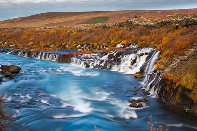
The name means 'white shirt', or 'long white shirt', though most people think the fall looks more like a bridal veil: the Fitjaá spreads into a wide, fan-shaped cascade over layered rock. The setting is green and quiet, with grass and tussocks right up to the river.

What makes it different from most Icelandic waterfalls is how close you can get. The fall is wide and the Fitjaá is usually a calm river without much force, so you can stand right beside the water at the top of the falls, or down on the riverbed below it. The rock is slippery, so watch every step, and stay well back when the river is high after rain or snowmelt.

Quick facts

GPS64.45811, -21.17861
RiverFitjaá, in the gully Hvítserksgljúfur
RegionWest Iceland, above Skorradalur
Vehicle4x4 required for the last stretch
WalkAbout 15–20 minutes down to the falls, easy but pathless
From ReykjavíkAbout 87 km via Þingvellir and Uxahryggir, or about 108 km via the Hvalfjörður tunnel
Drive timeAbout 1 hour 15 minutes to 2 hours
EntryFree
FacilitiesNone
Time neededAbout 1–1.5 hours at the falls, including the walk

How to get to Hvítserkur waterfall

By car (4x4)You need a 4x4. The last stretch is a very rough, bumpy track along the north side of the Fitjaá, following a power line, and is signed 'Illfær vegur', which means 'difficult road' and marks a route meant for 4x4 vehicles only. Do not try it in a normal rental car.
Via Þingvellir and UxahryggirThe shorter route from Reykjavík, about 87 km, goes through Þingvellir and north over the Uxahryggir road (Route 52), a highland-edge gravel road that is open in summer.
Via the Hvalfjörður tunnelThe longer route, about 108 km, follows Route 1 through the Hvalfjörður tunnel and then turns inland to Skorradalur, driving the length of the valley on Skorradalsvegur (Road 508) before the track climbs out at its head.
By public transportThere is no bus service anywhere near this waterfall, and no regular tours go here.

There are no signs for the waterfall itself. Load the coordinates (64.45811, -21.17861) into your map before you set off, as mobile coverage is patchy in the valley.

How to find Hvítserkur waterfall

Hvítserkur is tricky to find the first time, but the walk itself is easy. This is the order of things.

Step 1: Drive in with a 4x4Follow the rough track on the north side of the Fitjaá, along the power line, until you are level with the coordinates of the falls. Drive slowly and only on the track.
Step 2: Park above the gullyThere is no car park. Stop where the track is firm and wide enough to leave the car without blocking it, above the Hvítserksgljúfur gully.
Step 3: Walk down the hillIt takes around 20 minutes to walk down to the waterfall. There is no marked path: you wade through long grass and step from tussock to tussock. It is not hard, but the ground is uneven and wet in places, so wear boots.
Step 4: At the waterfallYou arrive beside the wide cascade and can walk to the top of the fall or down to the riverbed below it. Take your time here; you are likely to have the place to yourself.

The wet rock by the river is slippery. Keep children close, and keep off the lip of the fall when the river is running high.

Best time to visit Hvítserkur waterfall

SummerThe time to go. The track and the Uxahryggir road are open and dry, the grass is green and the walk down is straightforward.
WinterNot recommended. The track is not maintained and is usually blocked by snow or mud, daylight is short and the rocks by the river ice over.

Safety and practical tips

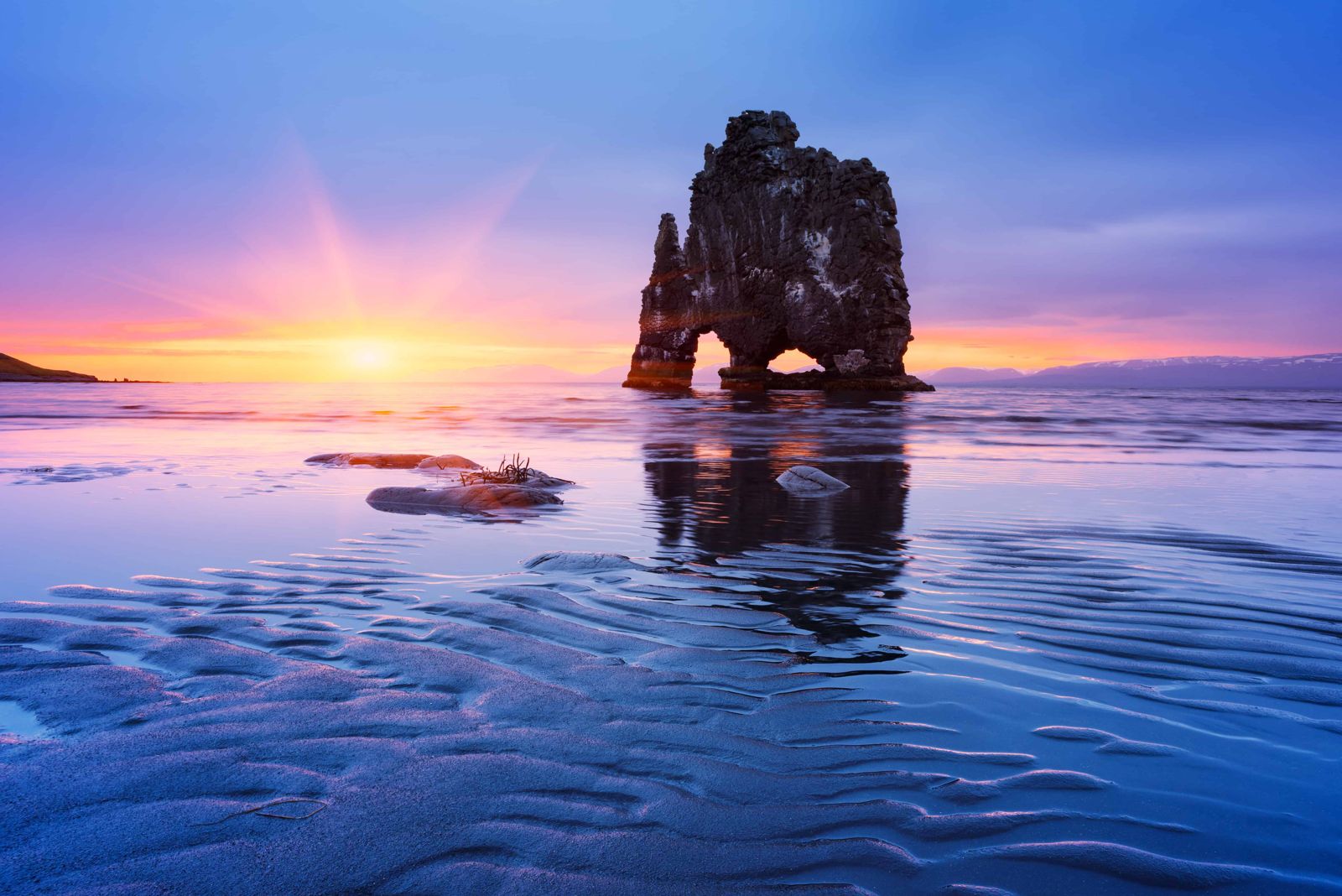
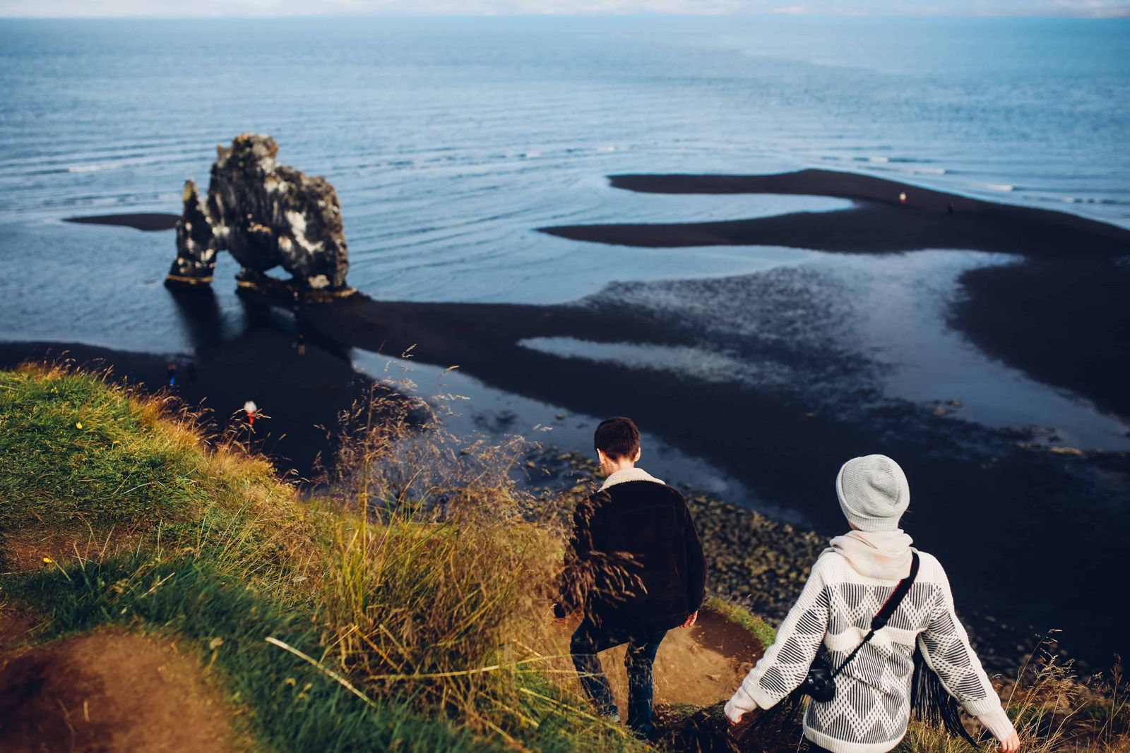
  • Do not confuse this with the famous Hvítserkur rock stack on the Vatnsnes peninsula in North Iceland; they are unrelated places with the same name.
  • Only attempt the track in a 4x4, and check your rental terms for rough tracks before you go.
  • Save the GPS coordinates offline. There is no sign at the falls.
  • Wear waterproof boots for the tussocks and the wet grass, and take care on the slippery rock by the water.
  • Bring food and water. There are no facilities, and the nearest shops and fuel are in Borgarnes.
  • Combine it with Skorradalur, the hot pools in Lundarreykjadalur or Glymur in Hvalfjörður for a full day.

Facilities and accessibility

None. There are no toilets, car park or signs at the falls; the nearest services are in Borgarnes.

On the map

Open in Google Maps →

Nearby places worth a stop

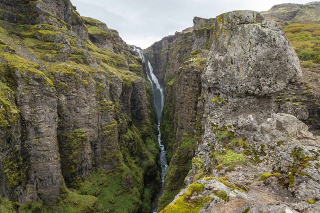
GlymurGlymurOne of Iceland's highest waterfalls, in HvalfjörðurHvalfjörðurHvalfjörðurQuiet fjord north of Reykjavík
EnglandshverirHot spring area in Lundarreykjadalur
KrosslaugKrosslaugSmall historic hot pool in LundarreykjadalurBorgarnesBorgarnesThe nearest town with full services
KraumaGeothermal baths at Deildartunguhver
HraunfossarHraunfossarWaterfalls flowing out of a lava field, further north

Where to stay near Hvítserkur waterfall

Borgarnes and the Hvalfjörður area have hotels and guesthouses, and Skorradalur is summer-house country. Reykjavík is close enough to visit Hvítserkur as a day trip.

Hvítserkur waterfall FAQ

Is this the same Hvítserkur as the famous rock formation?

No. This is a waterfall on the Fitjaá river in West Iceland. The well-known Hvítserkur sea stack is on the Vatnsnes peninsula in North Iceland, a different region entirely.

Where is Hvítserkur waterfall?

On the Fitjaá river in the gully Hvítserksgljúfur, above Skorradalur in West Iceland, at GPS 64.45811, -21.17861.

Do I need a 4x4 to reach Hvítserkur waterfall?

Yes. The final track is rough and signed 'Illfær vegur' (difficult road), and is not suitable for ordinary cars.

How long is the walk to the waterfall?

About 15–20 minutes down the hill from the track, across grass and tussocks with no marked path. Allow a little longer coming back up.

Can you stand on top of the waterfall?

Yes, when the river is low you can stand beside the water at the top of the wide fall, or on the riverbed below. The rock is slippery, so move carefully.

How far is it from Reykjavík?

About 87 km via Þingvellir and Uxahryggir, or about 108 km via the Hvalfjörður tunnel. Allow 1 hour 15 minutes to 2 hours.

Is there an entrance fee?

No, it is free to visit.

See Hvítserkur waterfall with a local

Tours and trips that include Hvítserkur waterfall, booked directly with a local travel agency in Iceland.
Víknaslóðir Wilderness E-Bike Tour from Borgarfjörður EystriDAY TOURVíknaslóðir Wilderness E-Bike Tour from Borgarfjörður EystriFrom 19,990 ISK per person
More places in West IcelandWaterfalls in Iceland