Iceland Travel Guide logo Iceland Travel GuideLOCAL TRAVEL AGENCY IN ICELAND My trip Talk to a local
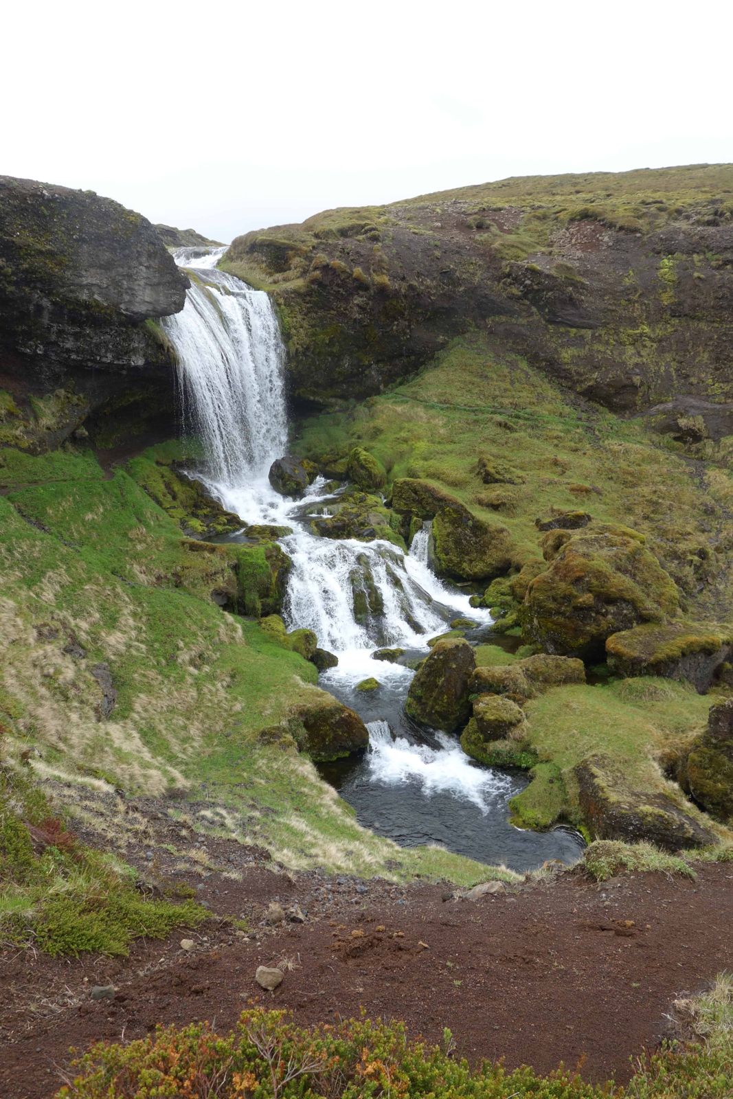
Selvallafoss waterfall

SnæfellsnesWaterfallFree entryOpen all year
SELVALLAFOSS IN SHORT

Selvallafoss, also called the Sheep's Waterfall, is a small, little-known waterfall on the stream Fossá, below the Vatnaleið rest area on Route 56 across the middle of the Snæfellsnes peninsula. You can walk behind it. It is free to visit, open all year, and most people spend 20–45 minutes including the walk down and back up.

ON THIS PAGE
Quick factsGetting thereFinding itThe waterfallBest time to visitSafety tipsFacilitiesMapNearbyWhere to stayFAQ

About Selvallafoss

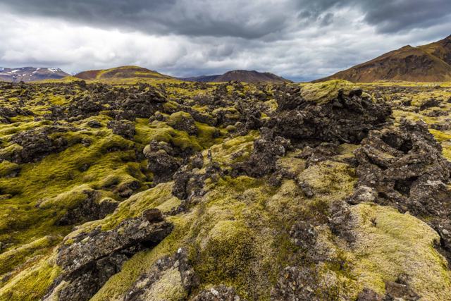
Selvallafoss is tucked below the road, so you cannot see it from the car park. From the Vatnaleið rest area, which looks over the lake Selvallavatn and the Berserkjahraun lava field, a short path leads downhill to the waterfall. It falls in several steps over smooth bedrock, about 19 m in total, with the tallest single drop about 11 m.

It is a good, easy stop when you cross the peninsula on Route 56 between Stykkishólmur and Grundarfjörður. It is small and usually quiet, so treat it as a short walk and a change of scene rather than a major sight.

The waterfall is not marked on most maps and there is no sign for it at the road, which is why many people drive straight past. Few tours stop here, and you will often have it to yourself. Bring the GPS coordinates and you will find it without trouble.

Quick facts

Also calledThe Sheep's Waterfall
RegionSnæfellsnes, West Iceland
LocationBelow the Vatnaleið rest area, Route 56
GPS64.94145, -22.90707
HeightAbout 19 m in total over three main drops; tallest single drop about 11 m
StreamFossá, flowing to the lake Selvallavatn
From ReykjavíkAbout 150 km, around 2 hours by car
Driving timesAbout 15 minutes from Stykkishólmur, 25 minutes from Grundarfjörður, 1 hour from Borgarnes
EntryFree
ParkingFree, in the Vatnaleið rest area (about 15 cars)
WalkingAbout 0.7 km there and back on an uneven path; downhill to the falls, uphill on the way back
Time needed20–45 minutes

How to get to Selvallafoss

From ReykjavíkDrive north on Route 1 to Borgarnes, turn onto Route 54 (Snæfellsnesvegur) and follow it west along the south side of the peninsula, then turn right onto Route 56 (Vatnaleið). The rest area is on the north side of the pass, above the lake. It is about 150 km and takes around 2 hours.
By car on SnæfellsnesTake Route 56 (Vatnaleið) across the middle of Snæfellsnes and park in the rest area, which has basalt seating and views over Selvallavatn and Berserkjahraun. Park in the rest area, not on the road shoulder. The waterfall is below it.
By public transportThere is no stop at the rest area, so a car is the practical way to visit.

The path to the waterfall is not signposted from the car park, so follow the existing path downhill and stay on it to protect the vegetation.

How to find Selvallafoss

The waterfall is hidden from the road and from the car park, so it helps to know the way before you arrive.

Step 1: The rest areaPark at the Vatnaleið rest area on Route 56. You will see the lake and the lava field with its red craters, but not the waterfall.
Step 2: The path downLook for the worn, unmarked path that leads downhill from the car park towards the stream. It is gravel and mud, with a few puddles to step over, and it takes 5–15 minutes.
Step 3: In front of the fallsThe path brings you out in front of the falls. The stepped cliffs and the tiers of the waterfall make this the best spot for photos from the front.
Step 4: Back upReturn the same way. It is a short climb, but it is uphill all the way to the car park.

Selvallafoss, the Sheep's Waterfall

The name means the Sheep's Waterfall, after the sheep that have long grazed around the stream.

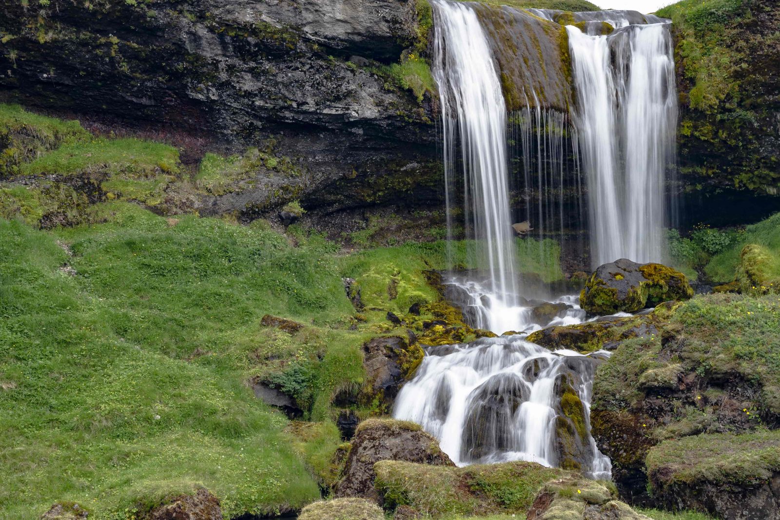
Three main dropsThe stream Fossá comes down in a cascade about 19 m high in total. There are three larger drops and several smaller ones. The tallest is about 11 m, and a second drop of roughly 3 m follows straight after it.
Walk behind the waterfallA trail leads in behind the main drop, so you can stand behind the curtain of water and photograph it from the inside. Expect spray. The ledge is mossy, muddy and slippery, so go slowly and watch your footing.
Climb to the topYou can also walk up beside the falls to the top. It is muddy and a little slippery but not hard, and it gives a wide view over the cascades, the lake and the lava field.

Do not go behind the falls in winter, when the ledge is icy and ice can fall from the cliff above.

Best time to visit Selvallafoss

SummerEasiest walking, with the most daylight and the best views over the lake and lava field. The moss and grass around the falls are at their greenest.
WinterRoute 56 is generally passable, but it can close in severe weather, and the path can be icy or muddy. Check umferdin.is before setting out.

Safety and practical tips

  • Wear boots or sturdy shoes with good grip; the path down is uneven, muddy and can be slippery.
  • Bring a raincoat if you want to go close to or behind the falls. You will get wet from the spray.
  • Stay on the existing path. Moss and other vegetation here are easily damaged.
  • Save the GPS coordinates before you go: 64.94145, -22.90707. The waterfall is not on most maps.
  • There are no facilities at the rest area, so plan toilet, food and fuel stops in Stykkishólmur or Grundarfjörður.
  • Check umferdin.is for conditions on Route 56 in winter.
  • Keep a cloth handy for your camera lens near the water.

Facilities and accessibility

The rest area has parking and seating but no toilets, food or other services.

On the map

Open in Google Maps →

Nearby places worth a stop

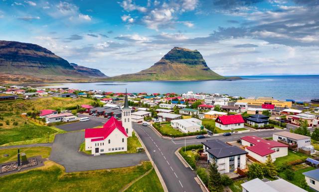
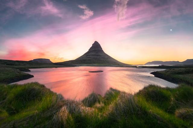
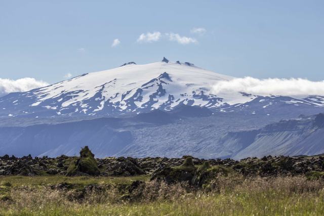
BerserkjahraunBerserkjahraunThe lava field the rest area looks overStykkishólmurStykkishólmurHarbour town about 15 minutes awayGrundarfjörðurGrundarfjörðurFishing village about 25 minutes awayKirkjufellKirkjufellIceland's most photographed mountain, near GrundarfjörðurHelgafellHelgafellLow holy hill near Stykkishólmur with a short walk to the topArnarstapiArnarstapiSea cliffs and a coastal walk on the south side of the peninsulaSnæfellsjökullSnæfellsjökullThe glacier-capped volcano at the tip of the peninsula

Where to stay near Selvallafoss

Stykkishólmur and Grundarfjörður both have hotels and guesthouses within about 15–25 minutes' drive.

Selvallafoss FAQ

Is Selvallafoss easy to find?

The rest area is easy to spot from Route 56, but the waterfall is below it and the path is not signposted. Follow the path downhill from the car park, or use the GPS coordinates 64.94145, -22.90707.

Can you walk behind Selvallafoss?

Yes. A trail leads behind the main drop. It is wet, mossy and slippery, so wear shoes with good grip and a waterproof jacket, and skip it in icy conditions.

How high is Selvallafoss?

About 19 m in total over three main drops. The tallest single drop is about 11 m.

What does Selvallafoss mean?

It is known as the Sheep's Waterfall, after the sheep that graze around it.

Is there an entrance fee?

No. Parking and the walk are free.

How long does it take?

Allow 20–45 minutes, depending on how long you stay at the falls. The climb back to the car park is uphill.

How far is Selvallafoss from Reykjavík?

About 150 km, around 2 hours by car, via Borgarnes and Routes 54 and 56.

Can you reach it by bus?

There is no stop at the rest area, so a car is the practical option.
More places in SnæfellsnesWaterfalls in Iceland